Old Cumbria Gazetteer
 |
 |
|
||
| Lamplugh | ||||
| Lampla | ||||
| civil parish:- | Lamplugh (formerly Cumberland) | |||
| county:- | Cumbria | |||
| locality type:- | locality | |||
| locality type:- | buildings | |||
| coordinates:- | NY08792075 (etc) | |||
| 1Km square:- | NY0820 | |||
| 10Km square:- | NY02 | |||
|
|
||||
| evidence:- | old map:- Saxton 1579 placename:- Lampley |
|||
| source data:- | Map, hand coloured engraving, Westmorlandiae et Cumberlandiae Comitatus ie Westmorland
and Cumberland, scale about 5 miles to 1 inch, by Christopher Saxton, London, engraved
by Augustinus Ryther, 1576, published 1579-1645.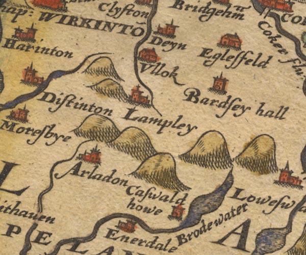 Sax9NY02.jpg Church, symbol for a parish or village, with a parish church. "Lampley" item:- private collection : 2 Image © see bottom of page |
|||
|
|
||||
| evidence:- | old map:- Mercator 1595 (edn?) placename:- Lampley |
|||
| source data:- | Map, hand coloured engraving, Northumbria, Cumberlandia, et
Dunelmensis Episcopatus, ie Northumberland, Cumberland and
Durham etc, scale about 6.5 miles to 1 inch, by Gerard Mercator,
Duisberg, Germany, about 1595. MER8CumE.jpg "Lampley" circle item:- JandMN : 169 Image © see bottom of page |
|||
|
|
||||
| evidence:- | old map:- Speed 1611 (Cmd) placename:- Lampley |
|||
| source data:- | Map, hand coloured engraving, Cumberland and the Ancient Citie
Carlile Described, scale about 4 miles to 1 inch, by John Speed,
1610, published by J Sudbury and George Humble, Popes Head
Alley, London, 1611-12.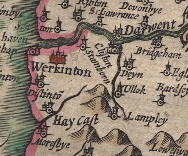 SP11NY02.jpg "Lampley" circle, building, tower item:- private collection : 16 Image © see bottom of page |
|||
|
|
||||
| evidence:- | old map:- Jansson 1646 placename:- Lampley |
|||
| source data:- | Map, hand coloured engraving, Cumbria and Westmoria, ie
Cumberland and Westmorland, scale about 3.5 miles to 1 inch, by
John Jansson, Amsterdam, Netherlands, 1646.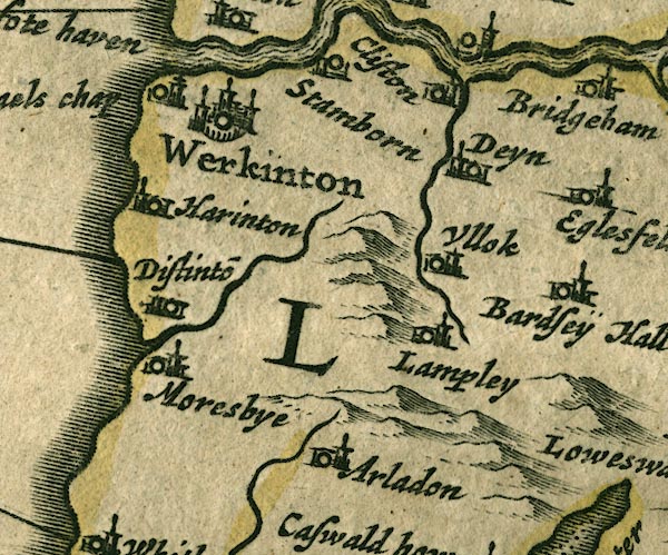 JAN3NY02.jpg "Lampley" Buildings and tower. item:- JandMN : 88 Image © see bottom of page |
|||
|
|
||||
| evidence:- | old map:- Morden 1695 (Cmd) placename:- Lampley |
|||
| source data:- | Map, uncoloured engraving, Cumberland, scale about 4 miles to 1
inch, by Robert Morden, 1695, published by Abel Swale, the
Unicorn, St Paul's Churchyard, Awnsham, and John Churchill, the
Black Swan, Paternoster Row, London, 1695-1715.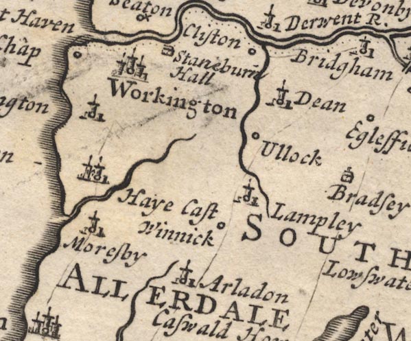 MD12NY02.jpg "Lampley" Circle, building and tower. item:- JandMN : 90 Image © see bottom of page |
|||
|
|
||||
| evidence:- | old map:- Badeslade 1742 placename:- Lampley |
|||
| source data:- | Map, uncoloured engraving, A Map of Cumberland North from
London, scale about 11 miles to 1 inch, with descriptive text,
by Thomas Badeslade, London, engraved and published by William
Henry Toms, Union Court, Holborn, London, 1742. click to enlarge click to enlargeBD10.jpg "Lampley" circle, italic lowercase text; village, hamlet or locality item:- JandMN : 115 Image © see bottom of page |
|||
|
|
||||
| evidence:- | old text:- Green 1814 placename:- Lampleugh |
|||
| source data:- | Set of prints, soft ground etchings, Sixty Small Prints, with
text, A Description of a Series of Sixty Small Prints, by
William Green, Ambleside, Westmorland, 1814. goto source goto sourcepage 24:- "..." "From Nether Wastdale pass through Gosforth to Calder Bridge, Egermont, Lampleugh, and by Scale Hill to Keswick ..." |
|||
|
|
||||
| evidence:- | old map:- Otley 1818 placename:- Lamplugh |
|||
| source data:- | Map, uncoloured engraving, The District of the Lakes,
Cumberland, Westmorland, and Lancashire, scale about 4 miles to
1 inch, by Jonathan Otley, 1818, engraved by J and G Menzies,
Edinburgh, Scotland, published by Jonathan Otley, Keswick,
Cumberland, et al, 1833.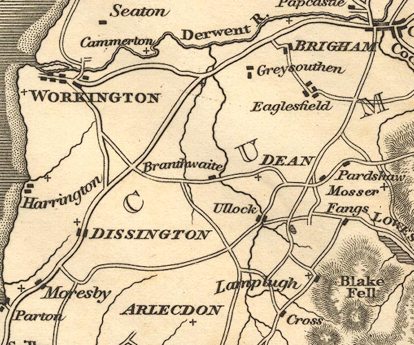 OT02NY02.jpg item:- JandMN : 48.1 Image © see bottom of page |
|||
|
|
||||
| evidence:- | descriptive text:- Otley 1823 (5th edn 1834) item:- geology |
|||
| source data:- | Guide book, A Concise Description of the English Lakes, the
mountains in their vicinity, and the roads by which they may be
visited, with remarks on the mineralogy and geology of the
district, by Jonathan Otley, published by the author, Keswick,
Cumberland now Cumbria, by J Richardson, London, and by Arthur
Foster, Kirkby Lonsdale, Cumbria, 1823; published 1823-49,
latterly as the Descriptive Guide to the English Lakes. goto source Page 161:- "A superincumbent bed of limestone, by some called the mountain, by others the upper transition limestone, mantles round these mountains, in a position unconformable to the strata of the slaty and other rocks upon which it reposes. It bassets out near Egremont, Lamplugh, Pardshaw, ..." |
|||
|
|
||||
| evidence:- | old map:- Ford 1839 map placename:- Lamplugh |
|||
| source data:- | Map, uncoloured engraving, Map of the Lake District of
Cumberland, Westmoreland and Lancashire, scale about 3.5 miles
to 1 inch, published by Charles Thurnam, Carlisle, and by R
Groombridge, 5 Paternoster Row, London, 3rd edn 1843.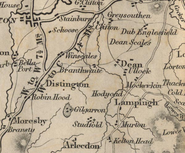 FD02NY02.jpg "Lamplugh" item:- JandMN : 100.1 Image © see bottom of page |
|||
|
|
||||
| evidence:- | old map:- Garnett 1850s-60s H placename:- Lamplugh |
|||
| source data:- | Map of the English Lakes, in Cumberland, Westmorland and
Lancashire, scale about 3.5 miles to 1 inch, published by John
Garnett, Windermere, Westmorland, 1850s-60s. GAR2NY02.jpg "Lamplugh" blocks, settlement item:- JandMN : 82.1 Image © see bottom of page |
|||
|
|
||||
| evidence:- | old map:- Post Office 1850s-1900s placename:- Lamplugh |
|||
| source data:- | Post road maps, General Post Office Circulation Map for England
and Wales, for the General Post Office, London, 1850s-1900s. click to enlarge click to enlargePOF7Cm.jpg "Lamplugh" map date 1909 |
|||
|
|
||||
| evidence:- | old map:- Post Office 1850s-1900s placename:- Lamplugh |
|||
| source data:- | Post road maps, General Post Office Circulation Map for England
and Wales, for the General Post Office, London, 1850s-1900s.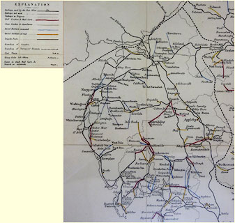 click to enlarge click to enlargePF10Cm.jpg "Lamplugh" map date 1892 |
|||
|
|
||||
| evidence:- | old map:- Post Office 1850s-1900s placename:- Lamplugh |
|||
| source data:- | Post road maps, General Post Office Circulation Map for England
and Wales, for the General Post Office, London, 1850s-1900s.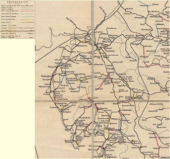 click to enlarge click to enlargePOF2Cm.jpg "Lamplugh" map date 1890 |
|||
|
|
||||
| :- |
images courtesy of the British Postal Museum and Hampshire CC Museums |
|||
|
|
||||
| hearsay:- |
The Register of Deaths, Lamplugh Parish has:- |
|||
| "janry ye 1, 1658 to Janre ye 1, 1663" |
||||
| "Frightened to death by fairies 6" |
||||
| "Bewitched 4" |
||||
| "Old women drowned upon trial for witchcraft 3" |
||||
| "Led into a horse pond by a will o' the wisp 1." |
||||
|
|
||||
| notes:- |
Once upon a tim:- |
|||
| "A squirrel could hop from tree to tree From Lamplugh Fells to Moresby." |
||||
|
|
||||
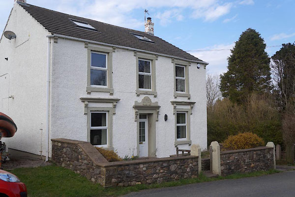
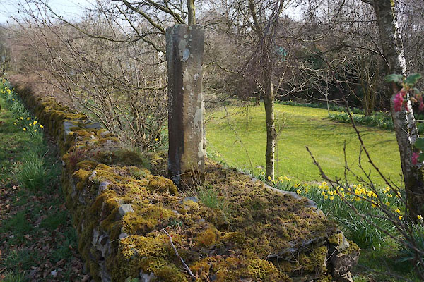
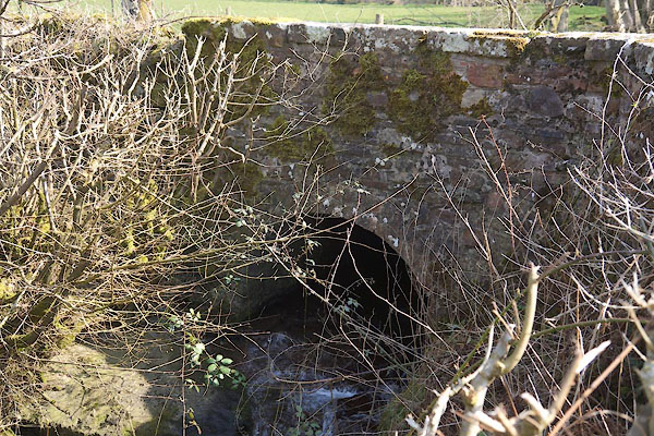
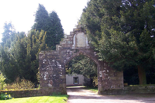
| places:- |
|
|||
|
||||
|
||||
|
||||
|
||||
|
||||
|
||||
|
||||
|
||||
|
||||
|
||||
|
||||
|
||||
Lakes Guides menu.