 Old Cumbria Gazetteer
 |
 |
|
| Lancaster Station, Lancashire | ||
| Lancaster Station | ||
| Lancaster Castle Station | ||
| site name:- | Lancaster and Carlisle Railway | |
| locality:- | Lancaster | |
| county:- | Lancashire | |
| locality type:- | railway station | |
| coordinates:- | SD47216172 | |
| 1Km square:- | SD4761 | |
| 10Km square:- | SD46 | |
| SummaryText:- | Opened with the railway, 1846; renamed Lancaster Station from 1969. | |
|
|
||
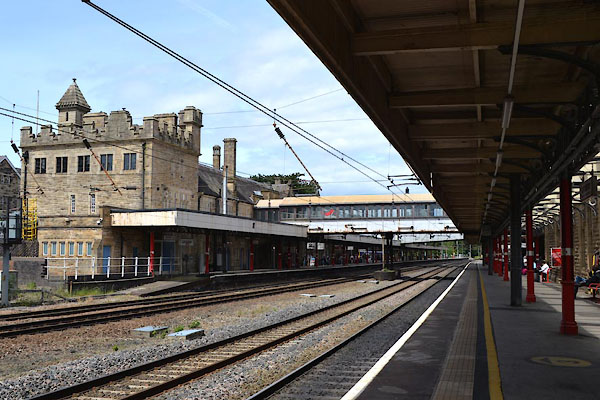 CGG05.jpg (taken 27.6.2017) |
||
|
|
||
| evidence:- | old map:- Garnett 1850s-60s H placename:- Castle Station |
|
| source data:- | Map of the English Lakes, in Cumberland, Westmorland and
Lancashire, scale about 3.5 miles to 1 inch, published by John
Garnett, Windermere, Westmorland, 1850s-60s.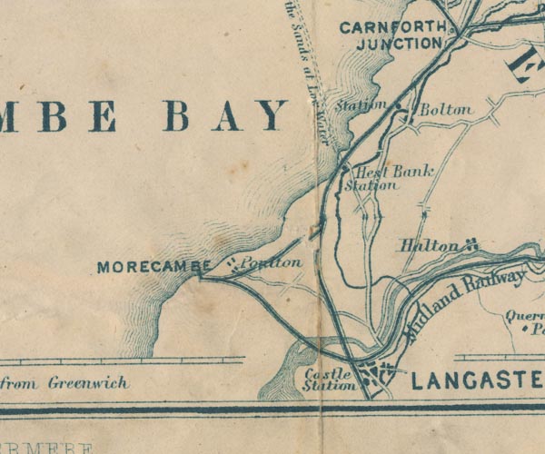 GAR2SD46.jpg "Castle Station" no symbol item:- JandMN : 82.1 Image © see bottom of page |
|
|
|
||
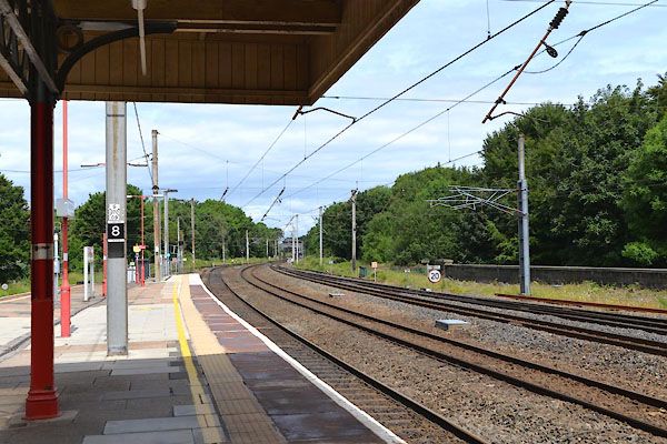 CGG06.jpg View N. (taken 27.6.2017) 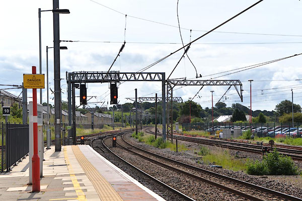 CGG07.jpg View S. (taken 27.6.2017) |
||
|
|
||
| hearsay:- |
designed by Sir William Tite, 1846. |
|
|
|
||
 Lakes Guides menu.