 |
 |
|
|
|
|
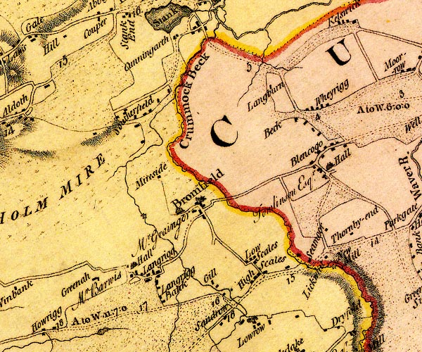
Langrigg |
| civil parish:- |
Bromfield (formerly Cumberland) |
| county:- |
Cumbria |
| locality type:- |
locality |
| locality type:- |
buildings |
| coordinates:- |
NY16494578 (etc) |
| 1Km square:- |
NY1645 |
| 10Km square:- |
NY14 |
|
|
| evidence:- |
old map:- OS County Series (Cmd 28 14)
placename:- Langrigg
|
| source data:- |
Maps, County Series maps of Great Britain, scales 6 and 25
inches to 1 mile, published by the Ordnance Survey, Southampton,
Hampshire, from about 1863 to 1948.
|
|
|
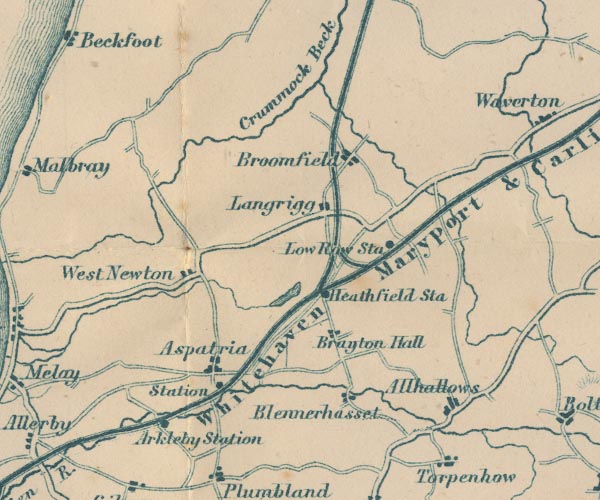
| evidence:- |
old map:- Donald 1774 (Cmd)
placename:- Langrigg
|
| source data:- |
Map, hand coloured engraving, 3x2 sheets, The County of Cumberland, scale about 1
inch to 1 mile, by Thomas Donald, engraved and published by Joseph Hodskinson, 29
Arundel Street, Strand, London, 1774.
D4NY14NE.jpg
"Langrigg"
block or blocks, labelled in lowercase; a hamlet or just a house
item:- Carlisle Library : Map 2
Image © Carlisle Library |
|
|
| evidence:- |
old map:- Garnett 1850s-60s H
placename:- Langrigg
|
| source data:- |
Map of the English Lakes, in Cumberland, Westmorland and
Lancashire, scale about 3.5 miles to 1 inch, published by John
Garnett, Windermere, Westmorland, 1850s-60s.
GAR2NY14.jpg
"Langrigg"
blocks, settlement
item:- JandMN : 82.1
Image © see bottom of page
|
|
|
| places:- |
 |
NY16784570 Bank Well (Bromfield) |
|
|
 |
NY16284594 Croft House Farm (Bromfield) |
|
|
 |
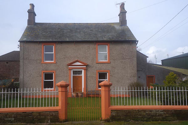
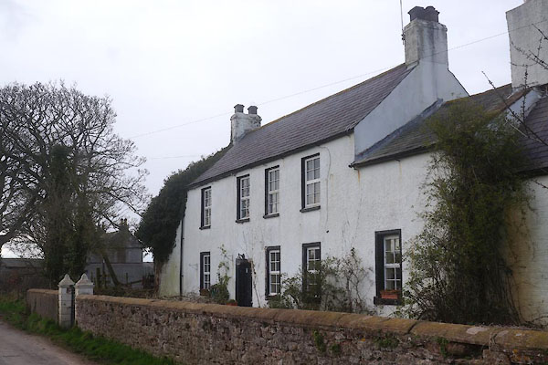
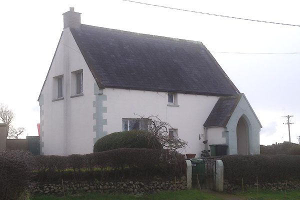
NY16414580 (Bromfield) |
|
|
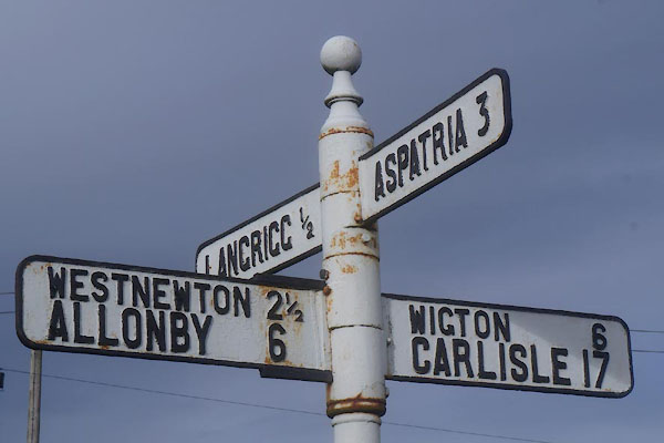 |
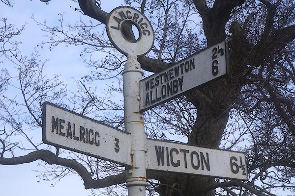
NY17064536 fingerpost, Langrigg (2) (Bromfield) |
|
|
 |
NY76961445 Great Musgrave School (Musgrave) L |
|
|
 |
NY16694576 Langfauld (Bromfield) L |
|
|
|
NY17024537 Langrigg Bank (Bromfield) |
|
|
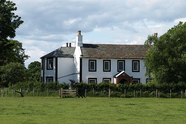 |
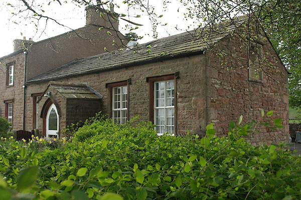
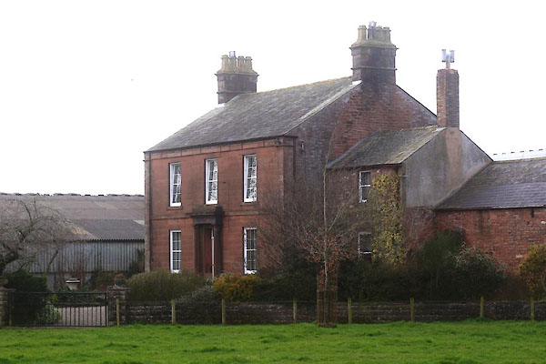
NY16434594 Langrigg Hall (Bromfield) L |
|
|
 |
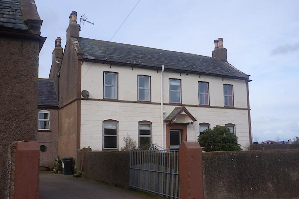
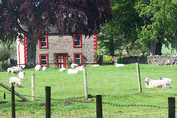
NY16314580 Langrigg House (Bromfield) L |
|
|
 |
NY76961460 Langrigg House (Musgrave) |
|
|
|
NY16104551 Langrigg Tilery (Bromfield) |
|
|
|
NY16284589 Lowfold Farm (Bromfield) |
|
|
 |
NY16814578 Park Hous (Bromfield) |
|
|
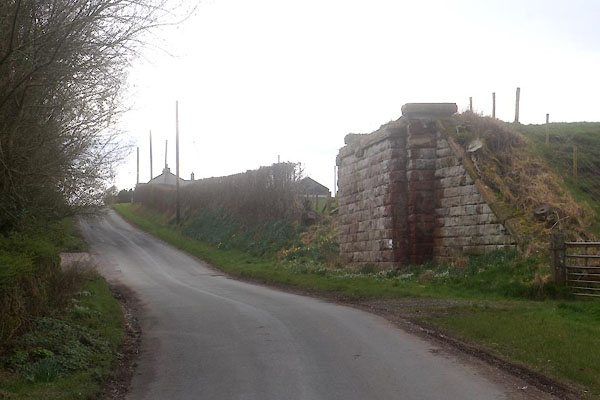 |
NY17244540 railway bridge, Langrigg (Bromfield) |
|
|
 |
NY16604570 Three Ways (Bromfield) |
|
|
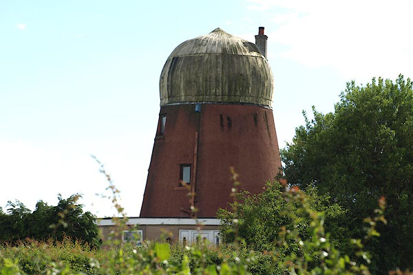 |
NY16904546 Windmill, The (Bromfield) L |
|
