Old Cumbria Gazetteer
 |
 |
|
||
| Leighton Beck | ||||
| runs into:- |  Kent Estuary Kent Estuary |
|||
|
|
||||
| civil parish:- | Beetham (formerly Westmorland) | |||
| civil parish:- | Arnside (formerly Westmorland) | |||
| county:- | Cumbria | |||
| locality type:- | river | |||
| locality type:- | boundary | |||
| locality type:- | county boundary | |||
| 1Km square:- | SD4977 (etc) | |||
| 10Km square:- | SD47 | |||
| county:- | Lancashire | |||
| current boundary | ||||
| locality:- | Cumbria boundary | |||
| old boundary | ||||
| locality:- | Lancashire boundary | |||
| SummaryText:- | For part of its length it is the county boundary. | |||
|
|
||||
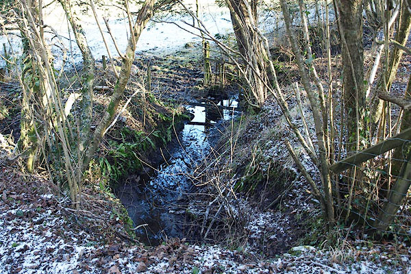 BQB08.jpg (taken 6.2.2009) 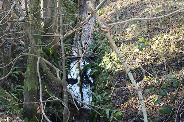 BQB09.jpg (taken 6.2.2009) |
||||
|
|
||||
| evidence:- | old map:- OS County Series (Wmd 46 11) placename:- Leighton Beck |
|||
| source data:- | Maps, County Series maps of Great Britain, scales 6 and 25
inches to 1 mile, published by the Ordnance Survey, Southampton,
Hampshire, from about 1863 to 1948. |
|||
|
|
||||
| evidence:- | old map:- Jefferys 1770 (Wmd) placename:- Leighton Beck |
|||
| source data:- | Map, 4 sheets, The County of Westmoreland, scale 1 inch to 1
mile, surveyed 1768, and engraved and published by Thomas
Jefferys, London, 1770.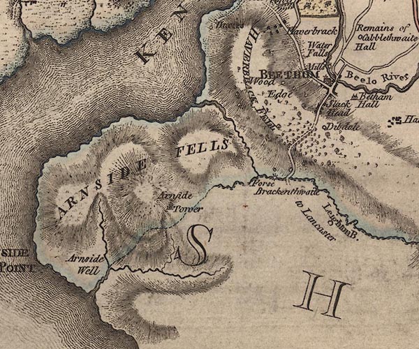 J5SD47NE.jpg "Leighton B." single or double wiggly line; river; county boundary item:- National Library of Scotland : EME.s.47 Image © National Library of Scotland |
|||
|
|
||||
| evidence:- | old map:- West 1784 map |
|||
| source data:- | Map, hand coloured engraving, A Map of the Lakes in Cumberland,
Westmorland and Lancashire, scale about 3.5 miles to 1 inch,
engraved by Paas, 53 Holborn, London, about 1784.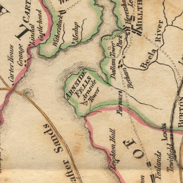 Ws02SD47.jpg Drawn entirely in Westmorland. item:- Armitt Library : A1221.1 Image © see bottom of page |
|||
|
|
||||
| evidence:- | old map:- Cary 1789 (edn 1805) |
|||
| source data:- | Map, uncoloured engraving, Westmoreland, scale about 2.5 miles
to 1 inch, by John Cary, London, 1789; edition 1805.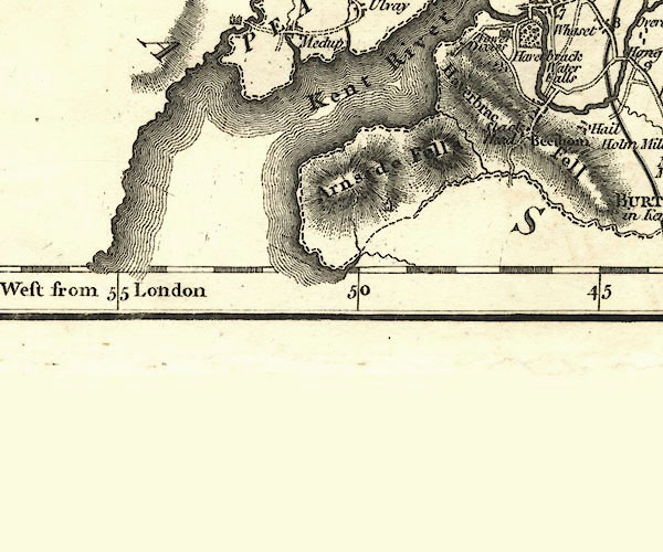 CY24SD47.jpg river running into the Kent Estuary; county boundary item:- JandMN : 129 Image © see bottom of page |
|||
|
|
||||
| evidence:- | old map:- Garnett 1850s-60s H |
|||
| source data:- | Map of the English Lakes, in Cumberland, Westmorland and
Lancashire, scale about 3.5 miles to 1 inch, published by John
Garnett, Windermere, Westmorland, 1850s-60s.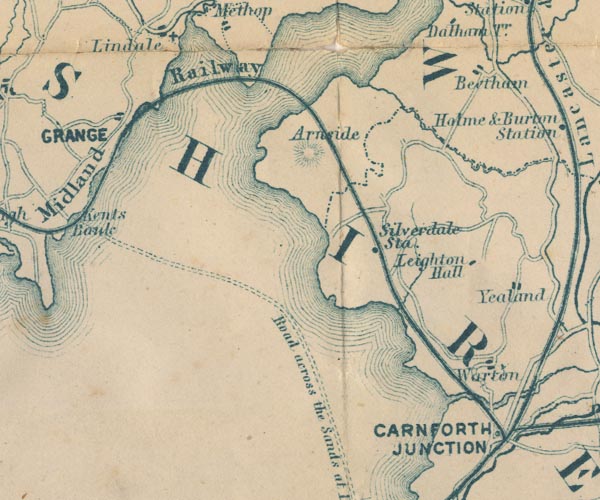 GAR2SD47.jpg wiggly line, river, and county boundary item:- JandMN : 82.1 Image © see bottom of page |
|||
|
|
||||
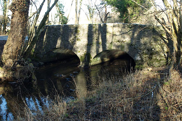
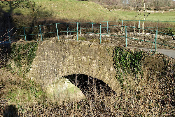
BQB08.jpg Harts tongue fern. (taken 6.2.2009) 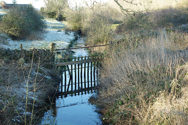 BQB16.jpg At Leighton Beck Bridge. (taken 6.2.2009) 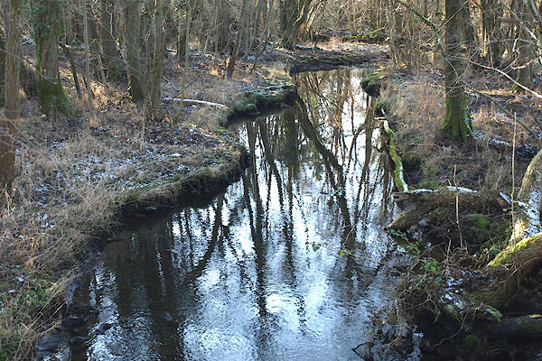 BQB20.jpg At Creep-i'-th'-Crawl Bridge. (taken 6.2.2009) |
||||
|
|
||||
| places:- |
|
|||
|
||||
|
||||
|
||||
Lakes Guides menu.