 |
 |
|
|
|
|
Linstock |
| civil parish:- |
Stanwix Rural (formerly Cumberland) |
| county:- |
Cumbria |
| locality type:- |
locality |
| locality type:- |
buildings |
| coordinates:- |
NY42645841 (etc) |
| 1Km square:- |
NY4258 |
| 10Km square:- |
NY45 |
|
|
| evidence:- |
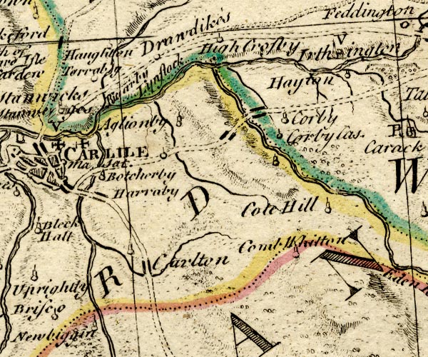
old map:- OS County Series (Cmd 16 16)
placename:- Linstock
|
| source data:- |
Maps, County Series maps of Great Britain, scales 6 and 25
inches to 1 mile, published by the Ordnance Survey, Southampton,
Hampshire, from about 1863 to 1948.
|
|
|
| evidence:- |
old map:- Bowen and Kitchin 1760
placename:- Lynstock
|
| source data:- |
Map, hand coloured engraving, A New Map of the Counties of
Cumberland and Westmoreland Divided into their Respective Wards,
scale about 4 miles to 1 inch, by Emanuel Bowen and Thomas
Kitchin et al, published by T Bowles, Robert Sayer, and John
Bowles, London, 1760.
BO18NY45.jpg
"Lynstock"
no symbol
item:- Armitt Library : 2008.14.10
Image © see bottom of page
|
|
|
| places:- |
 |
NY42335841 Close House (Stanwix Rural) |
|
|
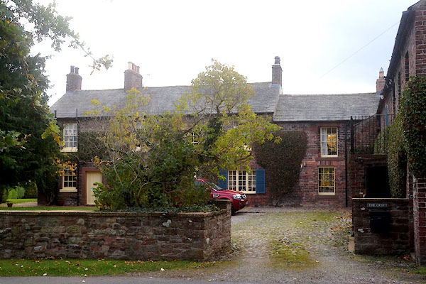 |
NY42595814 Croft, The (Stanwix Rural) L |
|
|
 |
NY42565835 Fern Bank (Stanwix Rural) |
|
|
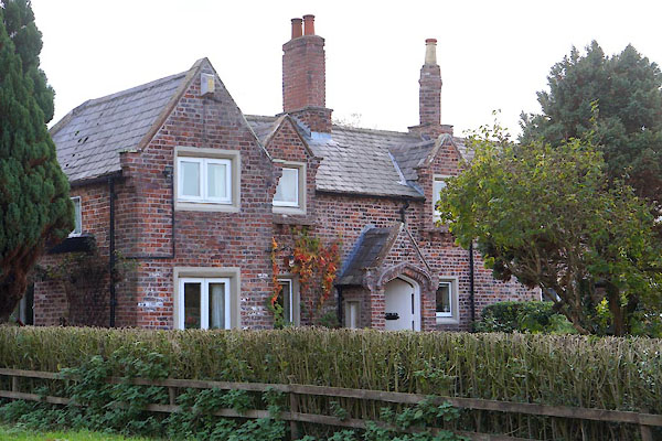 |
NY42565826 Fern Lea (Stanwix Rural) L |
|
|
|
NY42335795 Linstock Bridge (Stanwix Rural) |
|
|
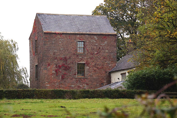 |
NY42895848 Linstock Castle (Stanwix Rural) L |
|
|
|
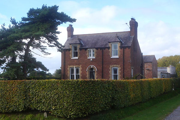
NY42825832 Linstock House (Stanwix Rural) |
|
|
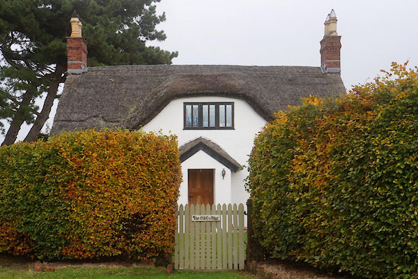 |
NY42735881 Old Cottage, The (Stanwix Rural) |
|
|
|
NY42565744 Volunteer Artillery Rifle Range (Stanwix Rural) gone |
|
|
|
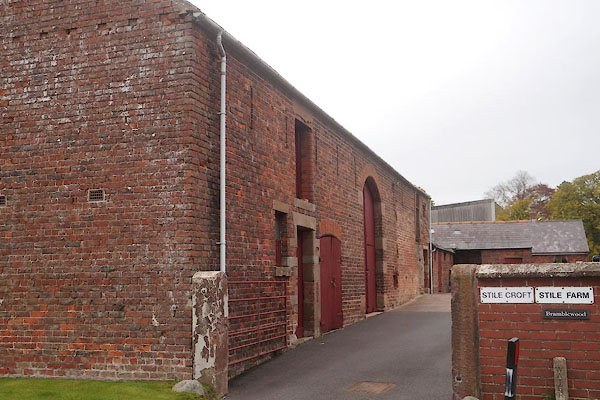
NY42785843 Stile Farm (Stanwix Rural) |
|
|
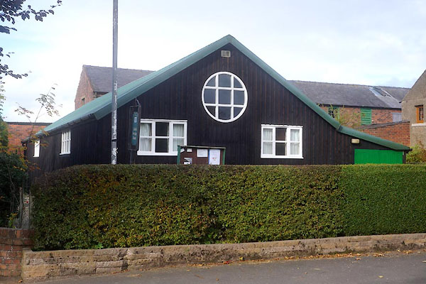 |
NY42645843 village hall, Linstock (Stanwix Rural) |
|
|
 |
NY42785844 barn, Linstock (Stanwix Rural) |
|
