 Old Cumbria Gazetteer
 |
 |
|
| Luham, Langwathby | ||
| civil parish:- | Langwathby (formerly Cumberland) | |
| county:- | Cumbria | |
| locality type:- | buildings | |
| coordinates:- | NY55553319 | |
| 1Km square:- | NY5533 | |
| 10Km square:- | NY53 | |
|
|
||
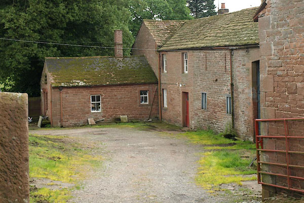 BWW18.jpg (taken 20.7.2012) |
||
|
|
||
| evidence:- | old map:- OS County Series (Cmd 50 10) placename:- Leuham |
|
| source data:- | Maps, County Series maps of Great Britain, scales 6 and 25
inches to 1 mile, published by the Ordnance Survey, Southampton,
Hampshire, from about 1863 to 1948. |
|
|
|
||
| evidence:- | database:- Listed Buildings 2010 placename:- Luham, The |
|
| source data:- | courtesy of English Heritage "THE LUHAM / / / LANGWATHBY / EDEN / CUMBRIA / II / 74284 / NY5555733192" |
|
|
|
||
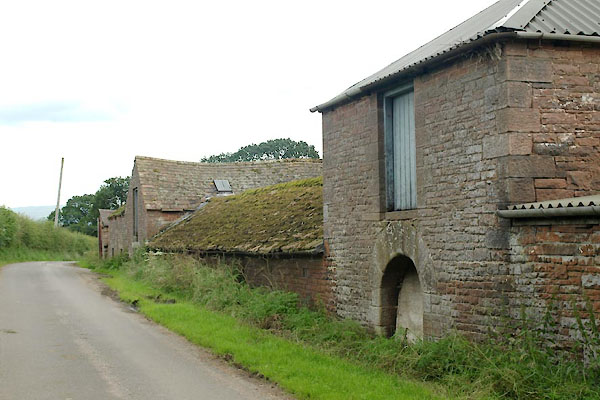 BWW19.jpg Barns or sheds by roadside. (taken 20.7.2012) 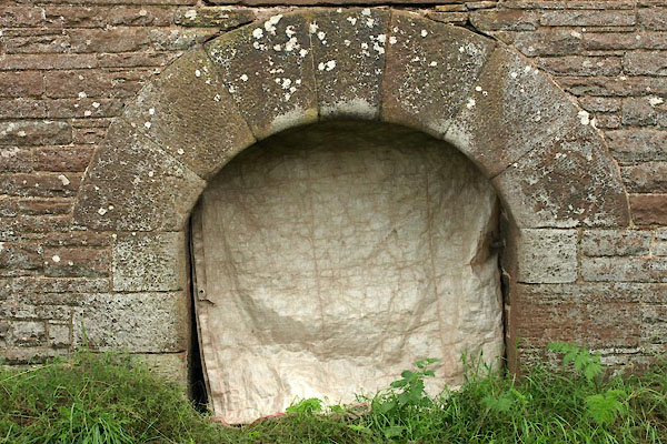 BWW20.jpg Door. (taken 20.7.2012) 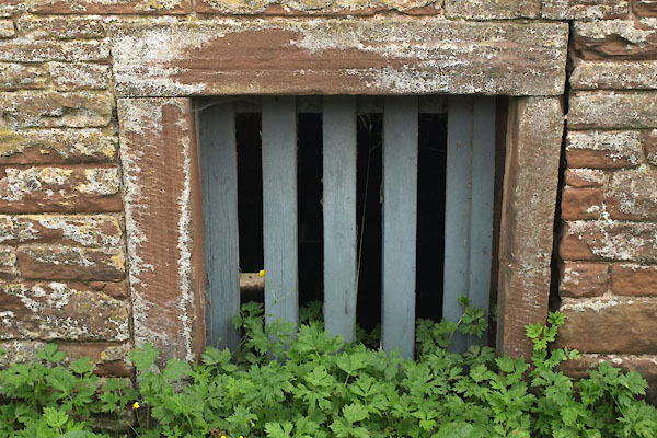 BWW21.jpg Window. (taken 20.7.2012) 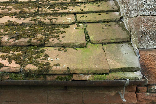 BWW22.jpg Roofing, sandstone slabs. (taken 20.7.2012) |
||
|
|
||
 Lakes Guides menu.