 |
 |
|
|
|
|
Meal Bank |
| civil parish:- |
Scalthwaiterigg (formerly Westmorland) |
| civil parish:- |
Skelsmergh (formerly Westmorland) |
| county:- |
Cumbria |
| locality type:- |
locality |
| locality type:- |
buildings |
| coordinates:- |
SD54109566 |
| 1Km square:- |
SD5495 |
| 10Km square:- |
SD59 |
|
|
| evidence:- |
old map:- OS County Series (Wmd 34 13)
placename:- Meal Bank
|
| source data:- |
Maps, County Series maps of Great Britain, scales 6 and 25
inches to 1 mile, published by the Ordnance Survey, Southampton,
Hampshire, from about 1863 to 1948.
|
|
|
| places:- |
 |
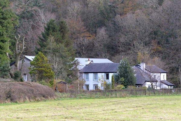
SD54109564 Ash View (Scalthwaiterigg) |
|
|
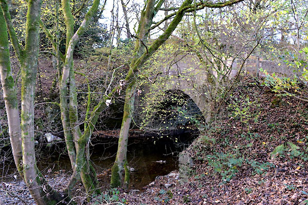 |
SD53939563 bridge, Meal Bank (Scalthwaiterigg / Skelsmergh) |
|
|
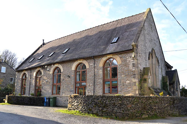 |
SD54129557 Old Chapel, The (Scalthwaiterigg) |
|
|
 |
SD53679531 Dodding Holme (Skelsmergh) |
|
|
 |
SD54039580 Hipsow Wood (Skelsmergh) |
|
|
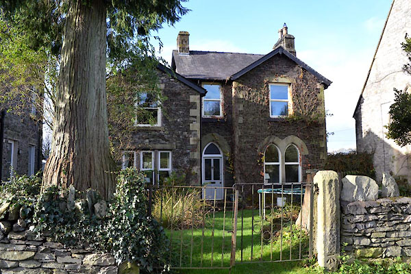 |
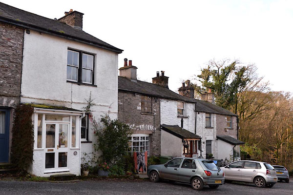
SD54119556 house, Meal Bank (Scalthwaiterigg) |
|
|
|
SD54379575 Meal Bank Wood (Scalthwaiterigg) |
|
|
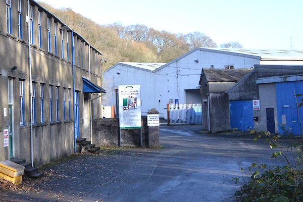 |
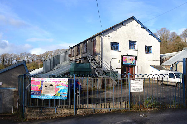
SD54009570 Mealbank Mill Trading Estate (Scalthwaiterigg) |
|
|
|
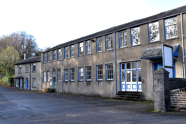
SD54059570 Meal Bank Mills (Scalthwaiterigg) |
|
|
|
SD53979568 Beck Mills Corn Mill (Scalthwaiterigg) |
|
|
 |
SD54079566 mill, Meal Bank (3) (Scalthwaiterigg) gone? |
|
|
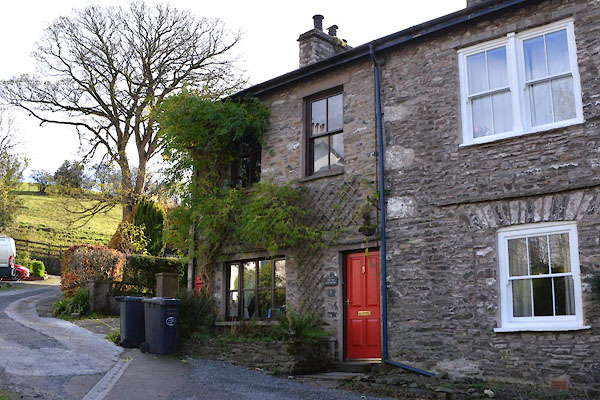 |
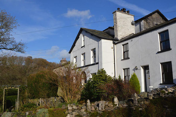
SD54119564 Old Post Office, The (Scalthwaiterigg) |
|
|
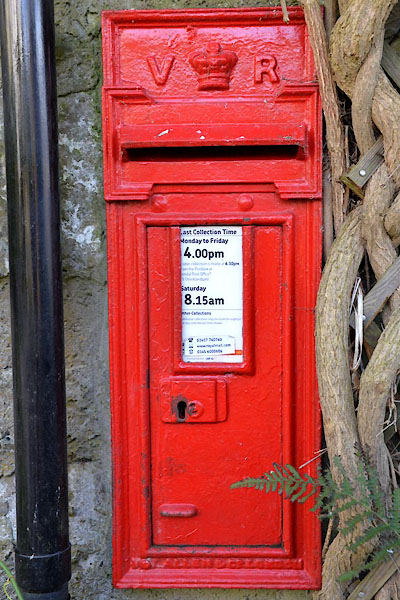 |
SD54129565 post box, Meal Bank (Scalthwaiterigg) |
|
|
 |
SD53989545 Scarfoot Mill (Scalthwaiterigg) |
|
|
|
SD54159566 Meal Bank School (Scalthwaiterigg) gone? |
|
|
 |
SD54069566 Scrapstore (Scalthwaiterigg) |
|
|
 |
SD54139567 Underbank (Scalthwaiterigg) |
|
