 |
 |
|
|
|
|
Moor Row |
| civil parish:- |
Dundraw (formerly Cumberland) |
| county:- |
Cumbria |
| locality type:- |
locality |
| locality type:- |
buildings |
| coordinates:- |
NY20854919 (etc) |
| 1Km square:- |
NY2049 |
| 10Km square:- |
NY24 |
|
|
| evidence:- |
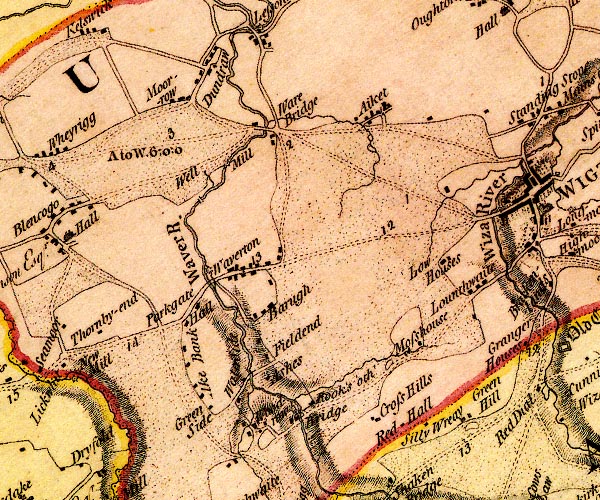
old map:- OS County Series (Cmd 28 8)
placename:- Moorrow
|
| source data:- |
Maps, County Series maps of Great Britain, scales 6 and 25
inches to 1 mile, published by the Ordnance Survey, Southampton,
Hampshire, from about 1863 to 1948.
|
|
|
| evidence:- |
old map:- Donald 1774 (Cmd)
placename:- Moor Row
|
| source data:- |
Map, hand coloured engraving, 3x2 sheets, The County of Cumberland, scale about 1
inch to 1 mile, by Thomas Donald, engraved and published by Joseph Hodskinson, 29
Arundel Street, Strand, London, 1774.
D4NY24NW.jpg
"Moor-row"
block or blocks, labelled in lowercase; a hamlet or just a house
item:- Carlisle Library : Map 2
Image © Carlisle Library |
|
|
| places:- |
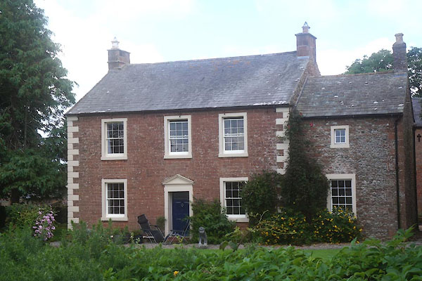 |
NY20804922 Croft House (Dundraw) L |
|
|
 |
NY00771459 Moor Row Engine Shed (Egremont) gone |
|
|
|
NY00751463 Moor Row Engine Shed (Egremont) gone |
|
|
|
NY00241415 High Farm (Egremont) |
|
|
|
NY00511408 Hollins Farm (Egremont) |
|
|
|
NY00631428 Low Farm (Egremont) |
|
|
|
NY008146 Moor Row East Junction (Cleator Moor) |
|
|
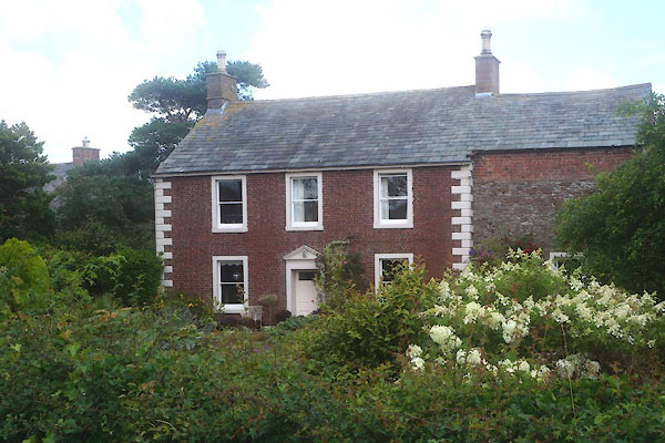 |
NY20834922 Moor Row Hall (Dundraw) L |
|
|
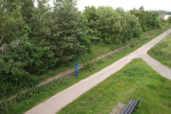 |
NY00491457 Moor Row Station (Egremont) |
|
|
|
NY00611458 Moor Row West Junction (St Bees) |
|
|
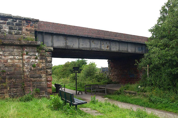 |
NY00451456 railway bridge, Moor Row (Egremont) |
|
|
|
NY20924932 Roddingate (Dundraw) gone |
|
|
|
NY00461424 war memorial, Moor Row (Egremont) |
|
