 Old Cumbria Gazetteer
 |
 |
|
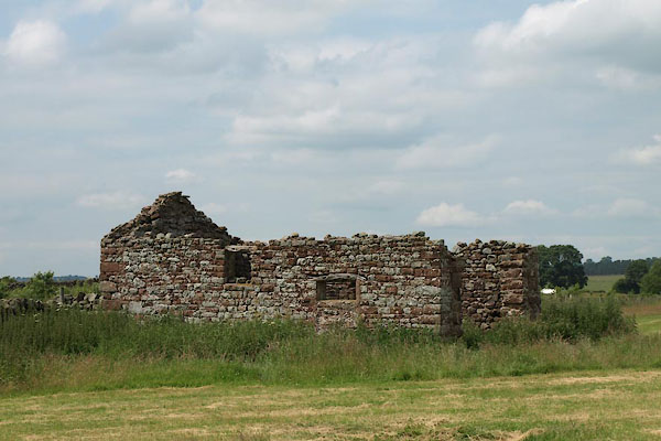
| Mooredge, Kirkoswald | ||
| Mooredge | ||
| civil parish:- | Kirkoswald (formerly Cumberland) | |
| county:- | Cumbria | |
| locality type:- | building/s (ruin) | |
| coordinates:- | NY59314135 | |
| 1Km square:- | NY5941 | |
| 10Km square:- | NY54 | |
|
|
||
 BYU93.jpg (taken 16.7.2013) |
||
|
|
||
| evidence:- | old map:- OS County Series (Cmd 40 7) placename:- Mooredge |
|
| source data:- | Maps, County Series maps of Great Britain, scales 6 and 25
inches to 1 mile, published by the Ordnance Survey, Southampton,
Hampshire, from about 1863 to 1948. |
|
|
|
||
 Lakes Guides menu.