 |
 |
|
|
|
|
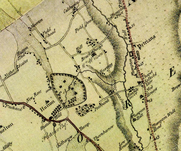
Morton |
| civil parish:- |
Skelton (formerly Cumberland) |
| county:- |
Cumbria |
| locality type:- |
locality |
| locality type:- |
buildings |
| coordinates:- |
NY45053958 (etc) |
| 1Km square:- |
NY4539 |
| 10Km square:- |
NY43 |
|
|
| evidence:- |
old map:- OS County Series (Cmd 39 10)
placename:- Morton
|
| source data:- |
Maps, County Series maps of Great Britain, scales 6 and 25
inches to 1 mile, published by the Ordnance Survey, Southampton,
Hampshire, from about 1863 to 1948.
|
|
|
| evidence:- |
old map:- Donald 1774 (Cmd)
placename:- Moorton
|
| source data:- |
Map, hand coloured engraving, 3x2 sheets, The County of Cumberland, scale about 1
inch to 1 mile, by Thomas Donald, engraved and published by Joseph Hodskinson, 29
Arundel Street, Strand, London, 1774.
D4NY43NE.jpg
"Moorton"
block or blocks, labelled in lowercase; a hamlet or just a house
item:- Carlisle Library : Map 2
Image © Carlisle Library |
|
|
| places:- |
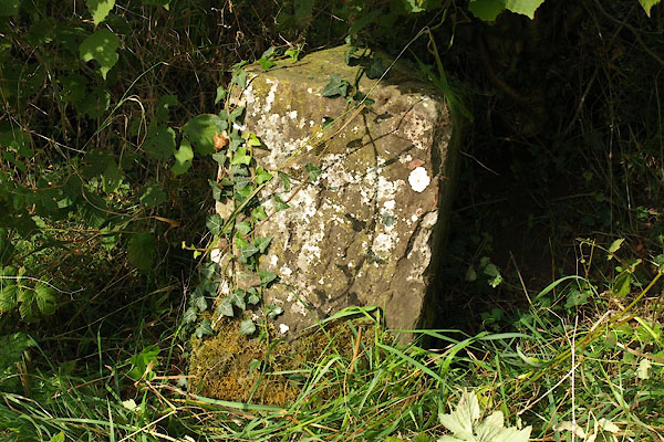 |
NY45103962 boundary stone, Skelton L |
|
|
 |
NY38065487 Morton Bridge (Carlisle) suggested |
|
|
|
NY38265498 Morton Community Centre (Carlisle) L |
|
|
|
NY37905466 Morton Cott (Carlisle) L |
|
|
|
NY44913955 Morton Hills (Skelton) |
|
|
|
NY38695462 Newlaiths Hall (Carlisle) gone? |
|
|
|
NY3854 St Luke's Church (Carlisle) |
|
