Old Cumbria Gazetteer
 |
 |
|
||
| Mosedale, Mungrisdale | ||||
| Mosedale | ||||
| civil parish:- | Mungrisdale (formerly Cumberland) | |||
| county:- | Cumbria | |||
| locality type:- | locality | |||
| locality type:- | buildings | |||
| coordinates:- | NY35713227 (etc) | |||
| 1Km square:- | NY3532 | |||
| 10Km square:- | NY33 | |||
|
|
||||
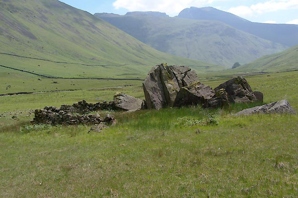
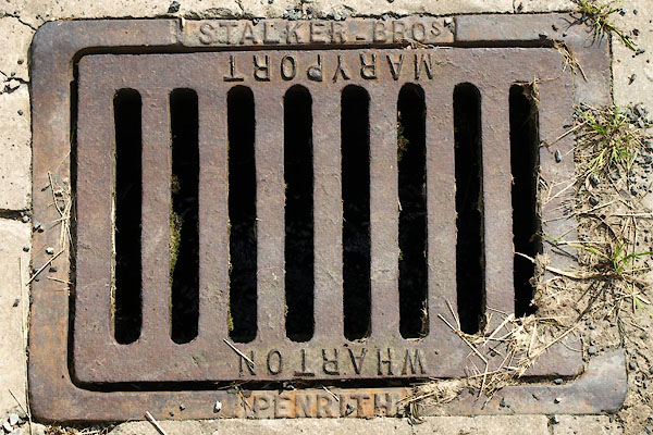
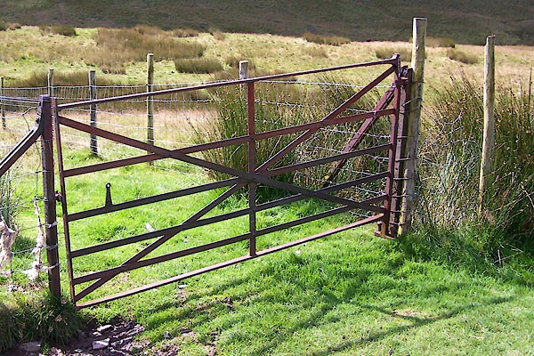
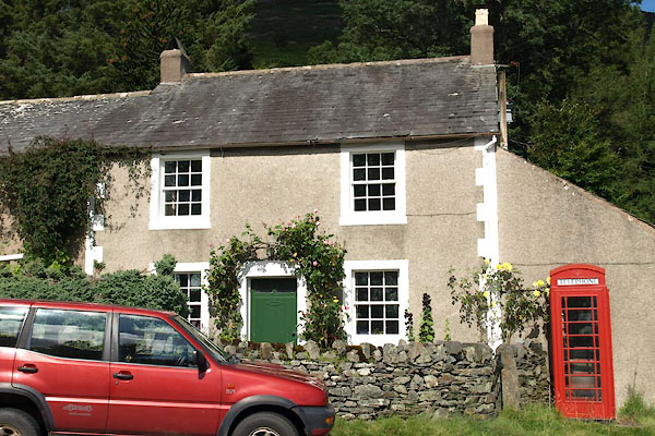
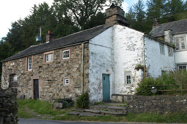
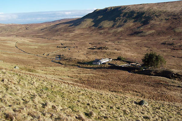
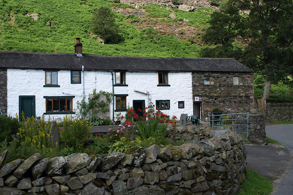
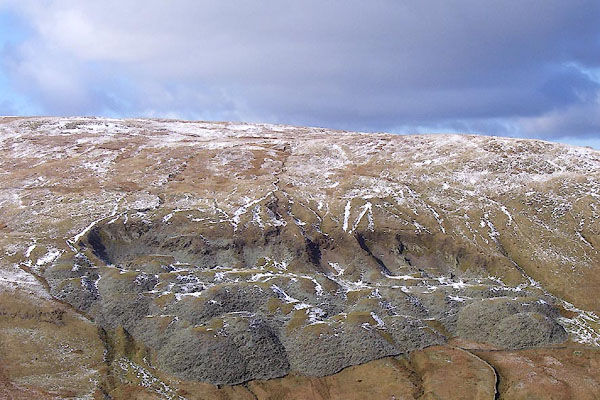
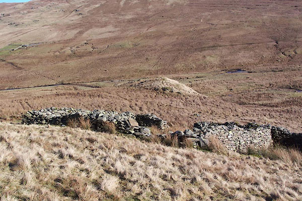
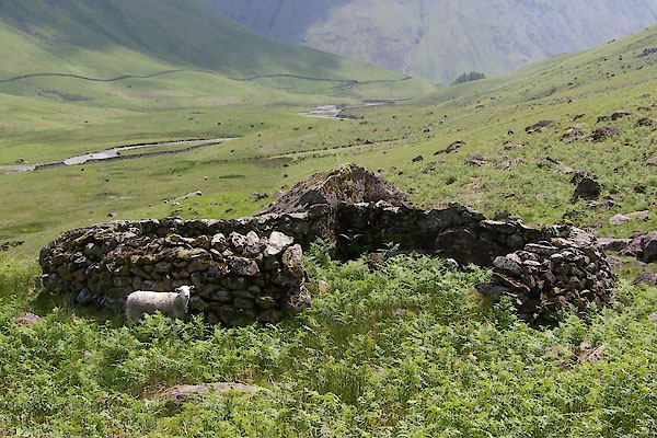
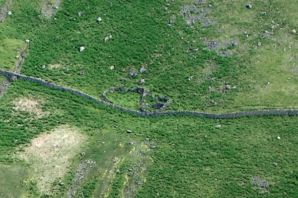
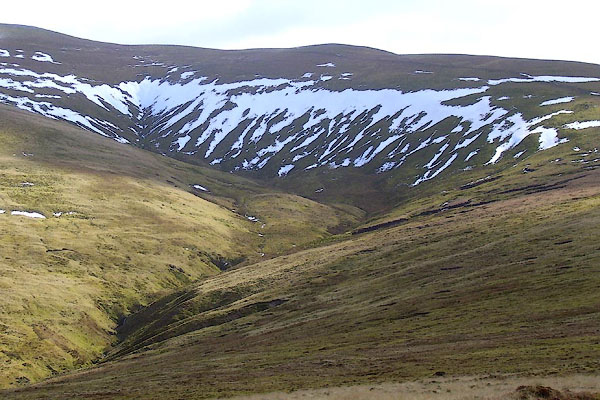
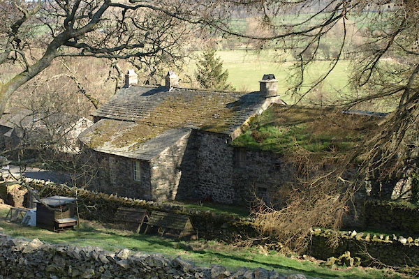
 BVD98.jpg (taken 9.8.2011) 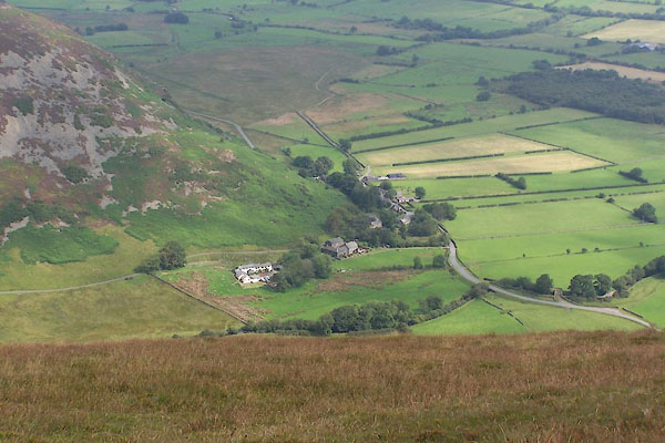 BVC95.jpg (taken 3.8.2011) |
||||
|
|
||||
| evidence:- | old map:- OS County Series (Cmd 48 14) placename:- Mosedale |
|||
| source data:- | Maps, County Series maps of Great Britain, scales 6 and 25
inches to 1 mile, published by the Ordnance Survey, Southampton,
Hampshire, from about 1863 to 1948. |
|||
|
|
||||
| evidence:- | old map:- Saxton 1579 placename:- Mosedale |
|||
| source data:- | Map, hand coloured engraving, Westmorlandiae et Cumberlandiae Comitatus ie Westmorland
and Cumberland, scale about 5 miles to 1 inch, by Christopher Saxton, London, engraved
by Augustinus Ryther, 1576, published 1579-1645.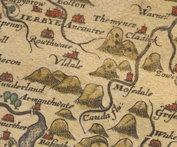 Sax9NY23.jpg Tower, symbol for a house, hall, tower, etc. "Mosedale" item:- private collection : 2 Image © see bottom of page |
|||
|
|
||||
| evidence:- | old map:- Mercator 1595 (edn?) placename:- Mosedale |
|||
| source data:- | Map, hand coloured engraving, Northumbria, Cumberlandia, et
Dunelmensis Episcopatus, ie Northumberland, Cumberland and
Durham etc, scale about 6.5 miles to 1 inch, by Gerard Mercator,
Duisberg, Germany, about 1595.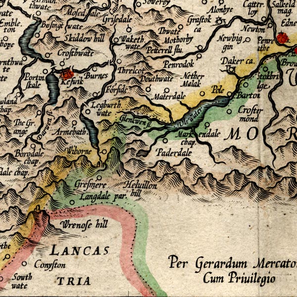 MER8CumF.jpg "Mosedale" circle item:- JandMN : 169 Image © see bottom of page |
|||
|
|
||||
| evidence:- | old map:- Keer 1605 placename:- Mosedale |
|||
| source data:- | Map, hand coloured engraving, Westmorland and Cumberland, scale
about 16 miles to 1 inch, probably by Pieter van den Keere, or
Peter Keer, about 1605 edition perhaps 1676. click to enlarge click to enlargeKER8.jpg "Mosedale" dot, circle and tower; village item:- Dove Cottage : 2007.38.110 Image © see bottom of page |
|||
|
|
||||
| evidence:- | old map:- Speed 1611 (Cmd) placename:- Mosedale |
|||
| source data:- | Map, hand coloured engraving, Cumberland and the Ancient Citie
Carlile Described, scale about 4 miles to 1 inch, by John Speed,
1610, published by J Sudbury and George Humble, Popes Head
Alley, London, 1611-12.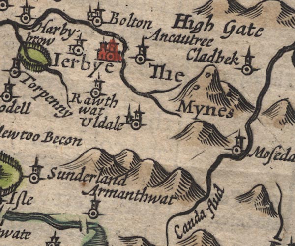 SP11NY23.jpg "Mosedale" circle, tower item:- private collection : 16 Image © see bottom of page |
|||
|
|
||||
| evidence:- | perhaps old map:- Jenner 1643 placename:- Misedale |
|||
| source data:- | Tables of distances with a maps, Westmerland, scale about 16
miles to 1 inch, and Cumberland, scale about 21 miles to 1 inch,
published by Thomas Jenner, London, 1643; published 1643-80.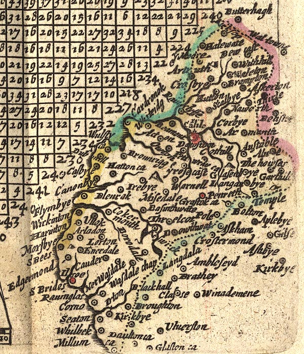 JEN4Sq.jpg "Misedale" circle |
|||
|
|
||||
| evidence:- | old map:- Jansson 1646 placename:- Mosedale |
|||
| source data:- | Map, hand coloured engraving, Cumbria and Westmoria, ie
Cumberland and Westmorland, scale about 3.5 miles to 1 inch, by
John Jansson, Amsterdam, Netherlands, 1646.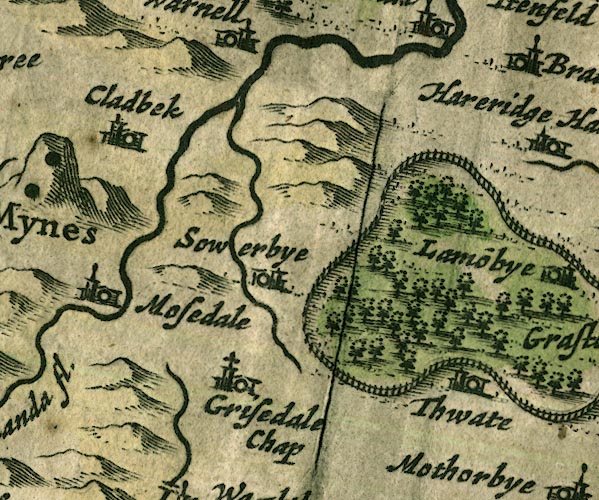 JAN3NY33.jpg "Mosedale" Buildings and tower. item:- JandMN : 88 Image © see bottom of page |
|||
|
|
||||
| evidence:- | old map:- Morden 1695 (Cmd) placename:- Mosedale |
|||
| source data:- | Map, uncoloured engraving, Cumberland, scale about 4 miles to 1
inch, by Robert Morden, 1695, published by Abel Swale, the
Unicorn, St Paul's Churchyard, Awnsham, and John Churchill, the
Black Swan, Paternoster Row, London, 1695-1715.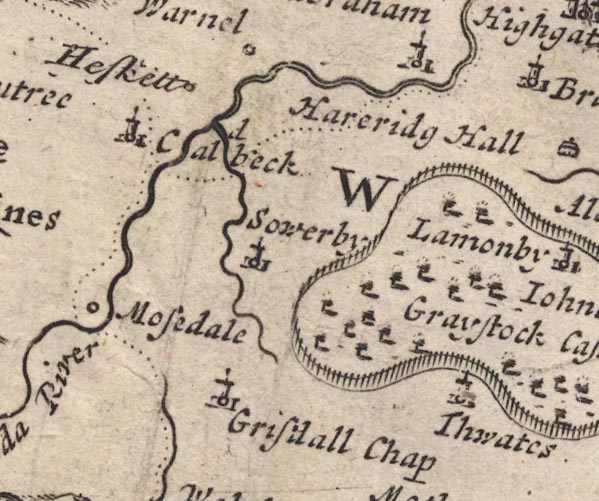 MD12NY33.jpg "Mosedale" Circle. item:- JandMN : 90 Image © see bottom of page |
|||
|
|
||||
| evidence:- | old map:- Gents Mag 1747 placename:- Mosedale |
|||
| source data:- | Map, uncoloured engraving, perspective view, Caudbeck Fells ie
Caldbeck Fells, scale about 1+ miles to 1 inch, published in the
Gentleman's Magazine, 1747.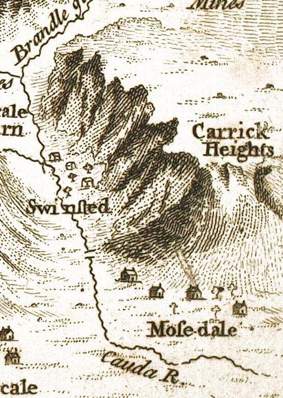 GM1406.jpg "Mosedale" buildings item:- Carlisle Library : Map 43 Image © Carlisle Library |
|||
|
|
||||
| evidence:- | old text:- Gents Mag 1747 placename:- Mosedale |
|||
| source data:- | Map, perspective view, Caudbeck Fells ie Caldbeck Fells, scale about 1+ miles to 1
inch, and descriptive text, published in the Gentleman's Magazine, November 1747. goto source goto sourcePage 522:- "... the neighbourhood of Mose-dale; here I found villages in the narrow bottoms, that feel no more benefit from the solar rays for two months about the winter solstice, than the old Cimmerians, or the Laplanders who inhabit about the North Cape of Norway." |
|||
|
|
||||
| evidence:- | old map:- Bowen and Kitchin 1760 placename:- Mosedale |
|||
| source data:- | Map, hand coloured engraving, A New Map of the Counties of
Cumberland and Westmoreland Divided into their Respective Wards,
scale about 4 miles to 1 inch, by Emanuel Bowen and Thomas
Kitchin et al, published by T Bowles, Robert Sayer, and John
Bowles, London, 1760.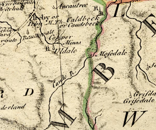 BO18NY23.jpg "Mosedale" circle and line item:- Armitt Library : 2008.14.10 Image © see bottom of page |
|||
|
|
||||
| evidence:- | old map:- Donald 1774 (Cmd) placename:- Mossdale |
|||
| source data:- | Map, hand coloured engraving, 3x2 sheets, The County of Cumberland, scale about 1
inch to 1 mile, by Thomas Donald, engraved and published by Joseph Hodskinson, 29
Arundel Street, Strand, London, 1774.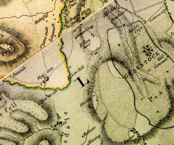 D4NY33SE.jpg "Mossdale" block or blocks, labelled in lowercase; a hamlet or just a house item:- Carlisle Library : Map 2 Image © Carlisle Library |
|||
|
|
||||
| evidence:- | old map:- Otley 1818 placename:- Mosdale |
|||
| source data:- | Map, uncoloured engraving, The District of the Lakes,
Cumberland, Westmorland, and Lancashire, scale about 4 miles to
1 inch, by Jonathan Otley, 1818, engraved by J and G Menzies,
Edinburgh, Scotland, published by Jonathan Otley, Keswick,
Cumberland, et al, 1833.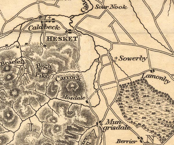 OT02NY33.jpg item:- JandMN : 48.1 Image © see bottom of page |
|||
|
|
||||
| evidence:- | old map:- Hall 1820 (Cmd) placename:- Mossdale |
|||
| source data:- | Map, hand coloured engraving, Cumberland, scale about 21 miles
to 1 inch, engraved by Sidney Hall, published by S Leigh, 18
Strand, London, 1820-31. click to enlarge click to enlargeHA14.jpg "Mossdale" circle, italic lowercase text; settlement item:- JandMN : 91 Image © see bottom of page |
|||
|
|
||||
| evidence:- | old map:- Ford 1839 map placename:- Mossdale |
|||
| source data:- | Map, uncoloured engraving, Map of the Lake District of
Cumberland, Westmoreland and Lancashire, scale about 3.5 miles
to 1 inch, published by Charles Thurnam, Carlisle, and by R
Groombridge, 5 Paternoster Row, London, 3rd edn 1843.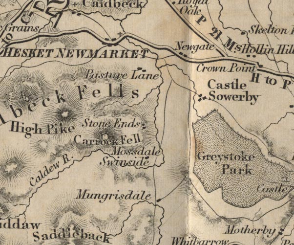 FD02NY33.jpg "Mossdale" item:- JandMN : 100.1 Image © see bottom of page |
|||
|
|
||||
| evidence:- | old text:- Miller 1847 placename:- Mosedale item:- whirlwind |
|||
| source data:- | Book, Report on the Fall of Rain in the Lake Districts of
Cumberland and Westmoreland in 1846, by John Fletcher Miller,
printed by G Irwin, Lowther Street, Whitehaven, Cumberland, 1847. goto source Page 7:- "..." "Several years ago, the following curious incident happened to a farmer, a member of the Society of Friends, residing at ---, near Mosedale. He was carrying a large sheet full of hay, on his shoulders, wherewith to feed his sheep on Carrock Fell, when he, along with his load, was suddenly taken up by one of these whirlwinds. He had, however, presence of mind to slip his arms out of the sheet, as quickly as possible, and before attaining any great height, or he must inevitably have been killed, as the sheet was afterwards found amongst the mountains, at a great distance. As it were, he sustained considerable injury. However incredible this occurrence may seem, I am quite prepared to vouch for its authenticity." |
|||
|
|
||||
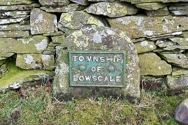
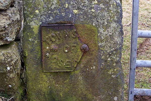
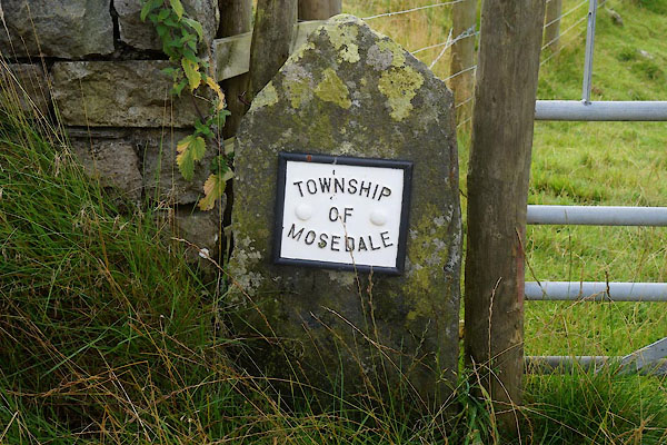
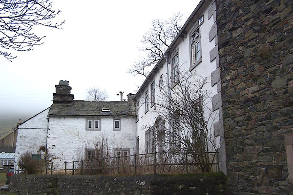
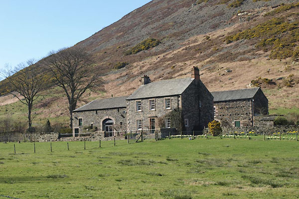
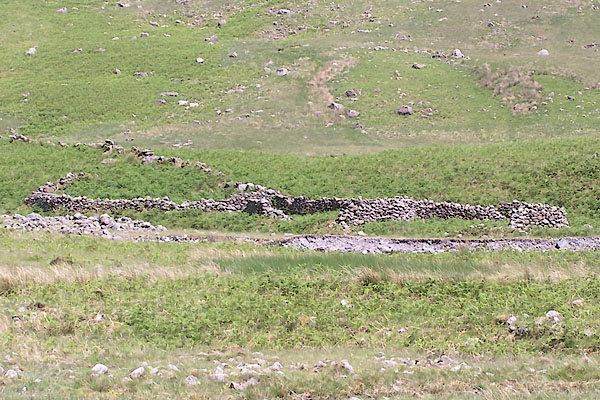
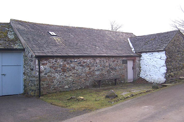
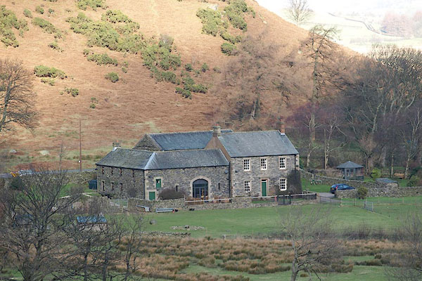 BOK94.jpg A farm in Mosedale. (taken 6.2.2008) |
||||
|
|
||||
| places:- |
|
|||
|
||||
|
||||
|
||||
|
||||
|
||||
|
||||
|
||||
|
||||
|
||||
|
||||
|
||||
|
||||
|
||||
|
||||
|
||||
|
||||
|
||||
|
||||
|
||||
|
||||
|
||||
|
||||
|
||||
|
||||
|
||||
|
||||
|
||||
|
||||
|
||||
|
||||
|
||||
|
||||
Lakes Guides menu.