 Old Cumbria Gazetteer
 |
 |
|
| Nab, Martindale | ||
| locality:- | Martindale Common | |
| civil parish:- | Martindale (formerly Westmorland) | |
| county:- | Cumbria | |
| locality type:- | hill | |
| coordinates:- | NY43421520 | |
| 1Km square:- | NY4315 | |
| 10Km square:- | NY41 | |
| altitude:- | 1890 feet | |
| altitude:- | 576m | |
|
|
||
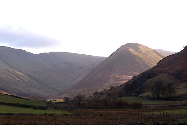 BLO99.jpg Looking south from St Martin's, Martindale. (taken 25.1.2006) 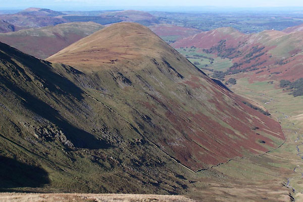 BTS74.jpg (taken 20.10.2010) |
||
|
|
||
| evidence:- | old map:- OS County Series (Wmd 12 16) placename:- Nab, The |
|
| source data:- | Maps, County Series maps of Great Britain, scales 6 and 25
inches to 1 mile, published by the Ordnance Survey, Southampton,
Hampshire, from about 1863 to 1948. |
|
|
|
||
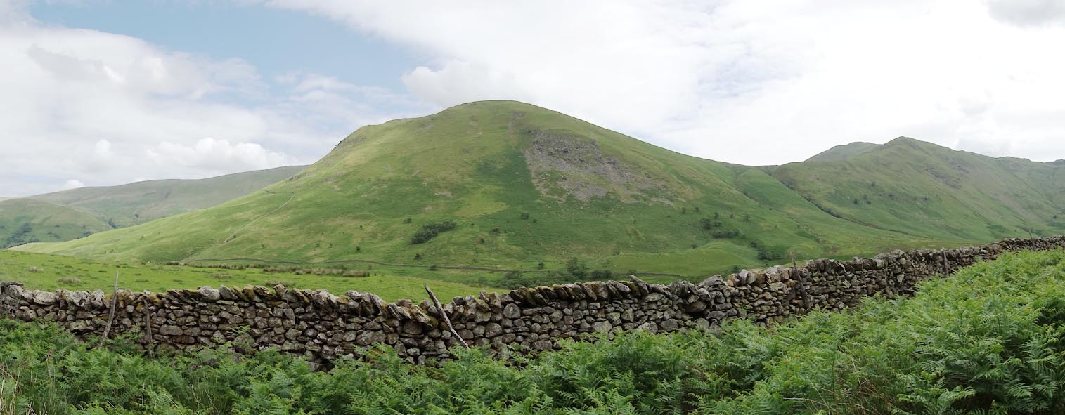 Click to enlarge CDL89.jpg (taken 30.6.2015) 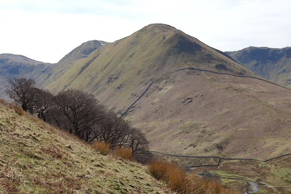 CCU95.jpg (taken 8.4.2015) 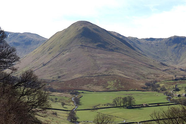 CCU96.jpg (taken 8.4.2015) 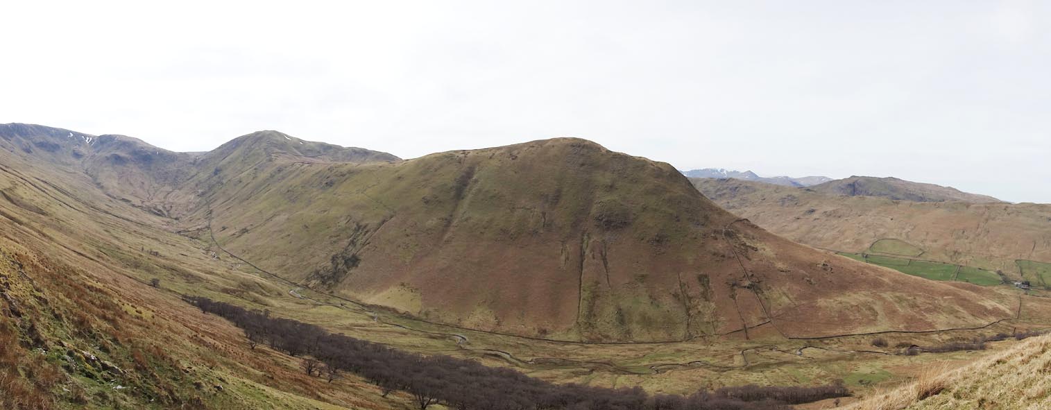 Click to enlarge CCV08.jpg (taken 8.4.2015) 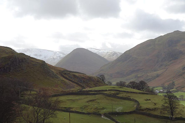 BZZ06.jpg (taken 27.2.2014) |
||
|
|
||
 Lakes Guides menu.