 Old Cumbria Gazetteer
 |
 |
|
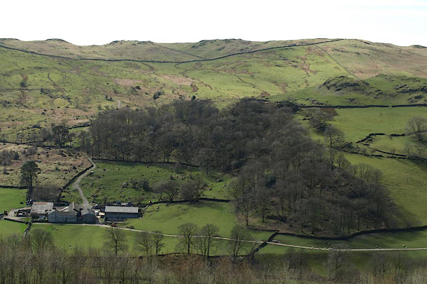
| Nether House Wood, Longsleddale | ||
| Nether House Wood | ||
| locality:- | Longsleddale | |
| civil parish:- | Longsleddale (formerly Westmorland) | |
| county:- | Cumbria | |
| locality type:- | wood | |
| coordinates:- | NY51030029 (etc) | |
| 1Km square:- | NY5100 | |
| 10Km square:- | NY50 | |
|
|
||
 BSM17.jpg (taken 11.4.2010) |
||
|
|
||
| evidence:- | old map:- OS County Series (Wmd 33 4) |
|
| source data:- | Maps, County Series maps of Great Britain, scales 6 and 25
inches to 1 mile, published by the Ordnance Survey, Southampton,
Hampshire, from about 1863 to 1948. Parcels 468 1.526 acres, 473 5.465 acres? |
|
|
|
||
 Lakes Guides menu.