 |
 |
|
|
|
|
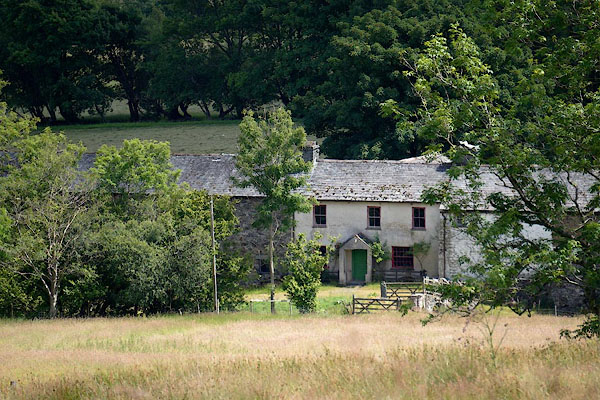
Newlands |
| civil parish:- |
Castle Sowerby (formerly Cumberland) |
| county:- |
Cumbria |
| locality type:- |
locality |
| locality type:- |
buildings |
| coordinates:- |
NY34883959 (etc) |
| 1Km square:- |
NY3439 |
| 10Km square:- |
NY33 |
|
|
| evidence:- |
old map:- OS County Series (Cmd 38 13)
placename:- Newlands
|
| source data:- |
Maps, County Series maps of Great Britain, scales 6 and 25
inches to 1 mile, published by the Ordnance Survey, Southampton,
Hampshire, from about 1863 to 1948.
|
|
|
| evidence:- |
old map:- Donald 1774 (Cmd)
placename:- Newlands
|
| source data:- |
Map, hand coloured engraving, 3x2 sheets, The County of Cumberland, scale about 1
inch to 1 mile, by Thomas Donald, engraved and published by Joseph Hodskinson, 29
Arundel Street, Strand, London, 1774.
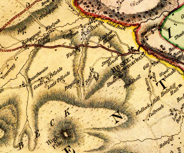
D4NY33NW.jpg
"Newlands"
block or blocks, labelled in lowercase; a hamlet or just a house
item:- Carlisle Library : Map 2
Image © Carlisle Library |
|
|
| places:- |
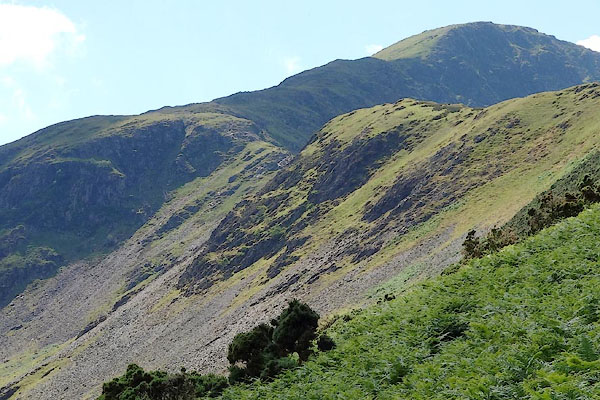 |
NY21351792 Blea Crags (Above Derwent) |
|
|
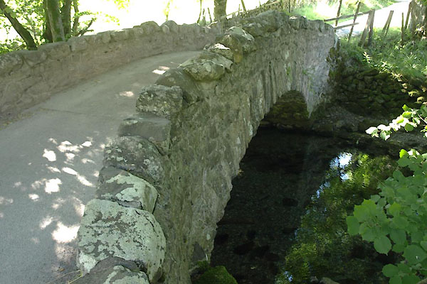 |
NY23131939 Chapel Bridge (Above Derwent) |
|
|
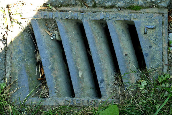 |
NY23101940 drain, Above Derwent (Above Derwent) |
|
|
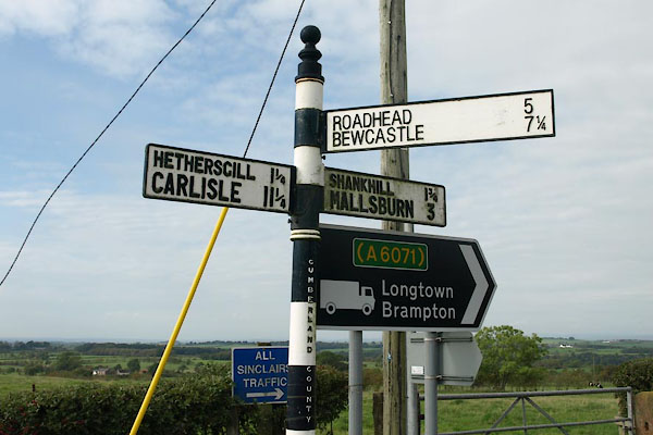 |
NY47616911 fingerpost, Stapleton (2) (Stapleton) |
|
|
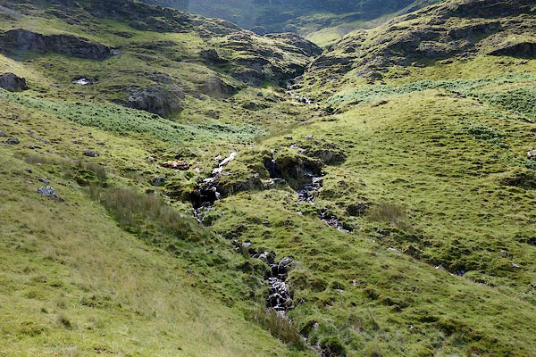 |
NY1917 High Hole Beck (Above Derwent) |
|
|
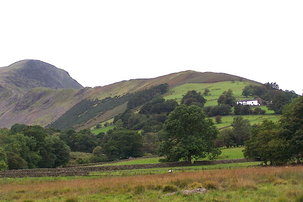 |
NY217186 High Snab Bank (Above Derwent) |
|
|
 |
NY22241891 Low High Snab (Above Derwent) |
|
|
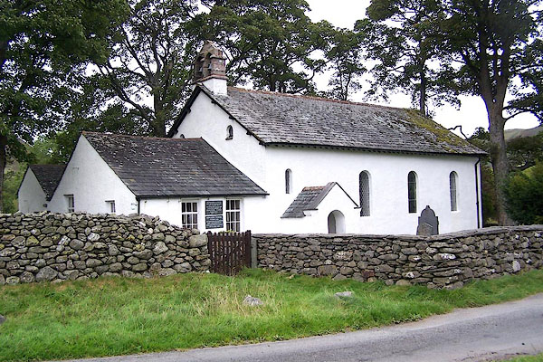 |
NY22991937 Newlands Church (Above Derwent) L |
|
|
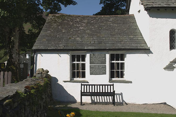 |
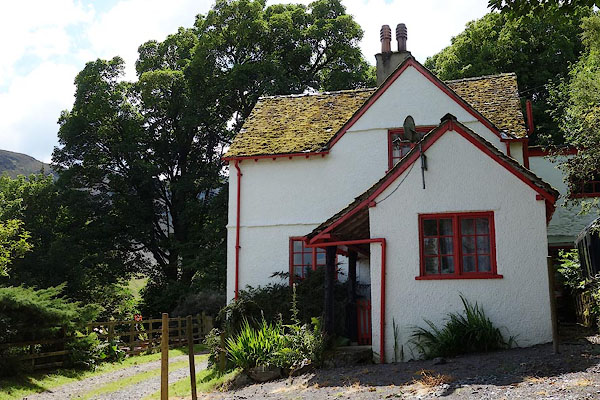
NY22981936 Newlands Shool (Above Derwent) |
|
|
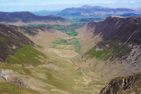 |
NY23052014 Newlands Valley (Above Derwent) |
|
|
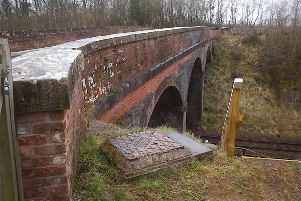 |
NY72301160 railway bridge, Soulby (5) (Soulby) |
|
|
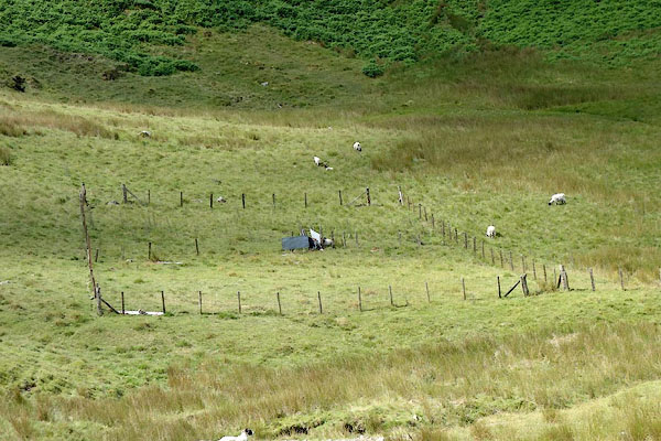 |
NY19711753 sheepfold, Above Derwent (10) (Above Derwent) |
|
|
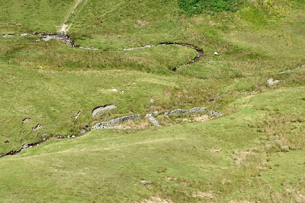 |
NY19721766 sheepfold, Above Derwent (11) (Above Derwent) |
|
|
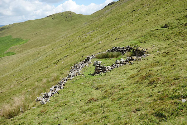 |
NY20691770 sheepfold, Above Derwent (12) (Above Derwent) |
|
|
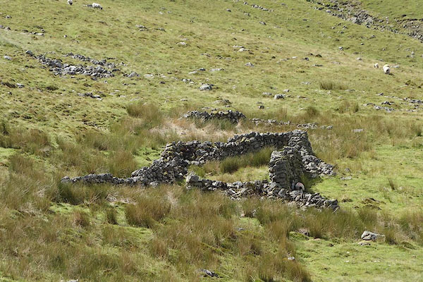 |
NY20971785 sheepfold, Above Derwent (13) (Above Derwent) |
|
|
 |
NY22721909 Low House Farm (Above Derwent) |
|

 Lakes Guides menu.