Old Cumbria Gazetteer
 |
 |
|
||
| Ormathwaite, Underskiddaw | ||||
| Ormathwaite | ||||
| civil parish:- | Underskiddaw (formerly Cumberland) | |||
| county:- | Cumbria | |||
| locality type:- | locality | |||
| locality type:- | buildings | |||
| coordinates:- | NY26892522 (etc) | |||
| 1Km square:- | NY2625 | |||
| 10Km square:- | NY22 | |||
|
|
||||
| evidence:- | old map:- OS County Series (Cmd 64 2) placename:- Ormathwaite |
|||
| source data:- | Maps, County Series maps of Great Britain, scales 6 and 25
inches to 1 mile, published by the Ordnance Survey, Southampton,
Hampshire, from about 1863 to 1948. |
|||
|
|
||||
| evidence:- | old map:- Donald 1774 (Cmd) placename:- Ormathwaite |
|||
| source data:- | Map, hand coloured engraving, 3x2 sheets, The County of Cumberland, scale about 1
inch to 1 mile, by Thomas Donald, engraved and published by Joseph Hodskinson, 29
Arundel Street, Strand, London, 1774.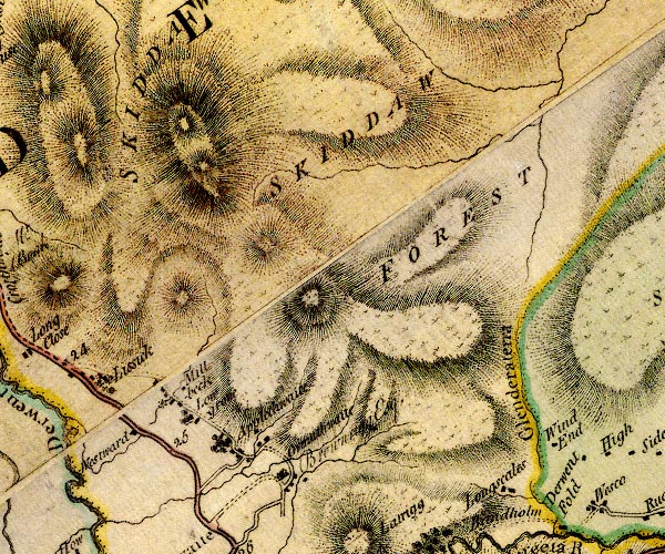 D4NY22NE.jpg "Ormathwaite" block or blocks, labelled in lowercase; a hamlet or just a house item:- Carlisle Library : Map 2 Image © Carlisle Library |
|||
|
|
||||
| evidence:- | old map:- Crosthwaite 1783-94 (Der) placename:- Ormathwaite |
|||
| source data:- | Map, uncoloured engraving, An Accurate Map of the Matchless Lake
of Derwent, ie Derwent Water, scale about 3 inches to 1 mile, by
Peter Crosthwaite, Keswick, Cumberland, 1783, version published
1800. CT2NY22R.jpg "ORMATHWAITE" item:- Armitt Library : 1959.191.3 Image © see bottom of page |
|||
|
|
||||
| evidence:- | old map:- West 1784 map placename:- Ormathwaite |
|||
| source data:- | Map, hand coloured engraving, A Map of the Lakes in Cumberland,
Westmorland and Lancashire, scale about 3.5 miles to 1 inch,
engraved by Paas, 53 Holborn, London, about 1784.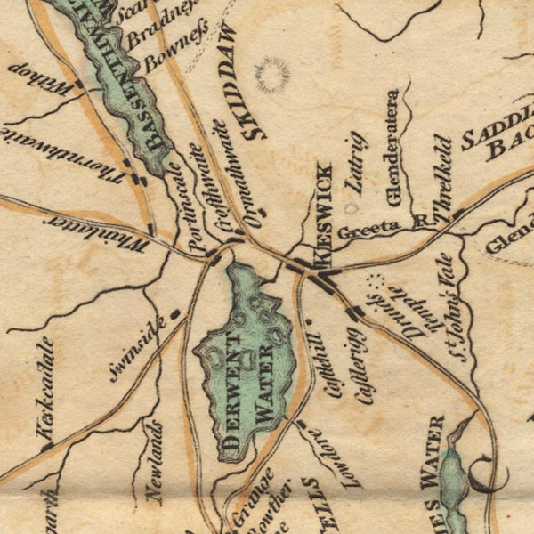 Ws02NY22.jpg item:- Armitt Library : A1221.1 Image © see bottom of page |
|||
|
|
||||
| evidence:- | old map:- Otley 1818 placename:- Ormathwaite |
|||
| source data:- | Map, uncoloured engraving, The District of the Lakes,
Cumberland, Westmorland, and Lancashire, scale about 4 miles to
1 inch, by Jonathan Otley, 1818, engraved by J and G Menzies,
Edinburgh, Scotland, published by Jonathan Otley, Keswick,
Cumberland, et al, 1833.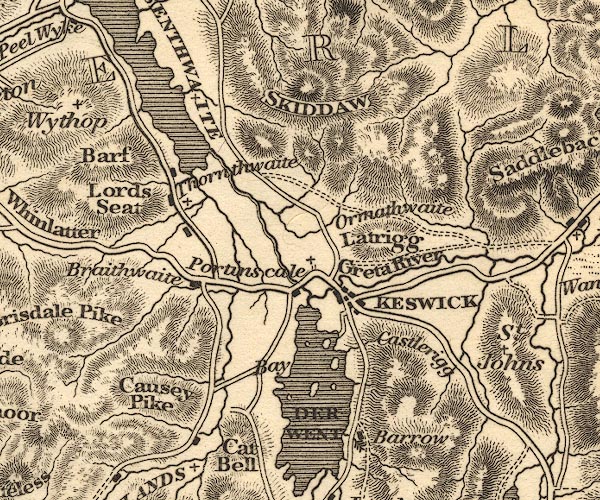 OT02NY22.jpg item:- JandMN : 48.1 Image © see bottom of page |
|||
|
|
||||
| evidence:- | old print:- Green 1822 (plate 29) placename:- Ormathwaite |
|||
| source data:- | Print, uncoloured soft ground etching, Ormathwaite Green, Underskiddaw, Cumberland,
by William Green, Ambleside, Westmorland, 1822.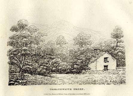 click to enlarge click to enlargeGN0829.jpg Plate 29 in Forty Etchings from Nature. printed at bottom:- "ORMATHWAITE GREEN. / Etched from Nature by William Green, &Published at Ambleside, Feby. 1, 1822." item:- Armitt Library : A6644.29 Image © see bottom of page |
|||
|
|
||||
| evidence:- | old map:- Garnett 1850s-60s H placename:- Ormathwaite |
|||
| source data:- | Map of the English Lakes, in Cumberland, Westmorland and
Lancashire, scale about 3.5 miles to 1 inch, published by John
Garnett, Windermere, Westmorland, 1850s-60s. GAR2NY22.jpg "Ormathwaite" blocks, settlement item:- JandMN : 82.1 Image © see bottom of page |
|||
|
|
||||
| evidence:- | old print:- placename:- Ormathwaite Green |
|||
| source data:- | Print, uncoloured etching? Ormathwaite Green, Cumberland, probably drawn, engraved
and published by William Green, Ambleside, Westmorland, 1820.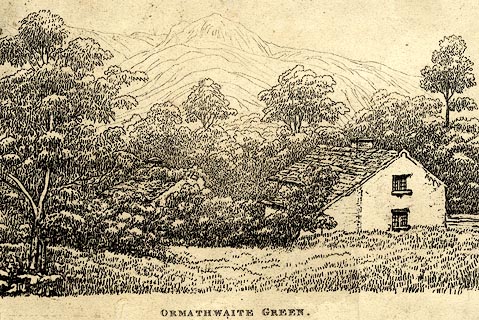 click to enlarge click to enlargePR0068.jpg printed at bottom centre:- "ORMATHWAITE GREEN." item:- Dove Cottage : 2008.107.68 Image © see bottom of page |
|||
|
|
||||
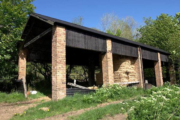
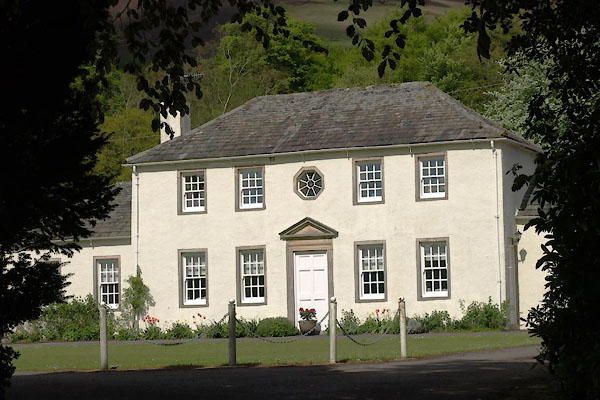
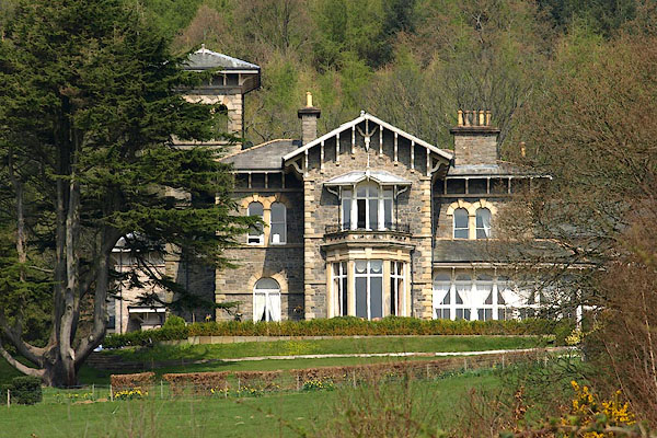
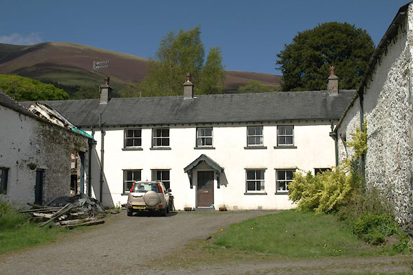
| places:- |
|
|||
|
||||
|
||||
|
||||
|
||||
|
||||
 Lakes Guides menu.