 |
 |
   |
|
|
|
|
| civil parish:- |
Ousby (formerly Cumberland) |
| county:- |
Cumbria |
| locality type:- |
locality |
| locality type:- |
buildings |
| coordinates:- |
NY62343473 (etc) |
| 1Km square:- |
NY6234 |
| 10Km square:- |
NY63 |
|
|
| evidence:- |
old map:- OS County Series (Cmd 51 5)
placename:- Ousby
|
| source data:- |
Maps, County Series maps of Great Britain, scales 6 and 25
inches to 1 mile, published by the Ordnance Survey, Southampton,
Hampshire, from about 1863 to 1948.
|
|
|
| evidence:- |
old map:- Saxton 1579
placename:- Ousbye
|
| source data:- |
Map, hand coloured engraving, Westmorlandiae et Cumberlandiae Comitatus ie Westmorland
and Cumberland, scale about 5 miles to 1 inch, by Christopher Saxton, London, engraved
by Augustinus Ryther, 1576, published 1579-1645.
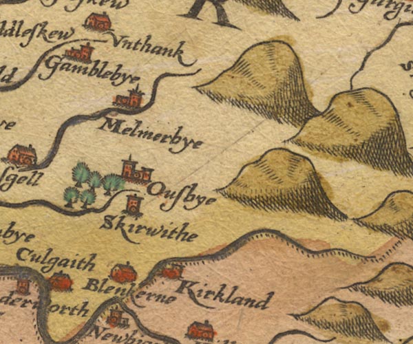
Sax9NY63.jpg
Church, symbol for a parish or village, with a parish church. "Ousbye"
item:- private collection : 2
Image © see bottom of page
|
|
|
| evidence:- |
old map:- Mercator 1595 (edn?)
placename:- Owesbye
|
| source data:- |
Map, hand coloured engraving, Northumbria, Cumberlandia, et
Dunelmensis Episcopatus, ie Northumberland, Cumberland and
Durham etc, scale about 6.5 miles to 1 inch, by Gerard Mercator,
Duisberg, Germany, about 1595.
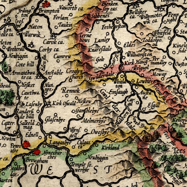
MER8CumD.jpg
"Owesbye"
circle
item:- JandMN : 169
Image © see bottom of page
|
|
|
| evidence:- |
old map:- Speed 1611 (Cmd)
placename:- Ousby
|
| source data:- |
Map, hand coloured engraving, Cumberland and the Ancient Citie
Carlile Described, scale about 4 miles to 1 inch, by John Speed,
1610, published by J Sudbury and George Humble, Popes Head
Alley, London, 1611-12.
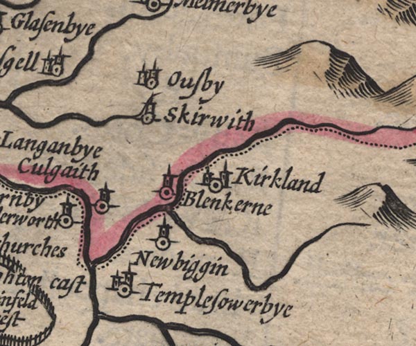
SP11NY63.jpg
"Ousby"
circle, building, tower
item:- private collection : 16
Image © see bottom of page
|
|
|
| evidence:- |
old map:- Jansson 1646
placename:- Ousby
|
| source data:- |
Map, hand coloured engraving, Cumbria and Westmoria, ie
Cumberland and Westmorland, scale about 3.5 miles to 1 inch, by
John Jansson, Amsterdam, Netherlands, 1646.
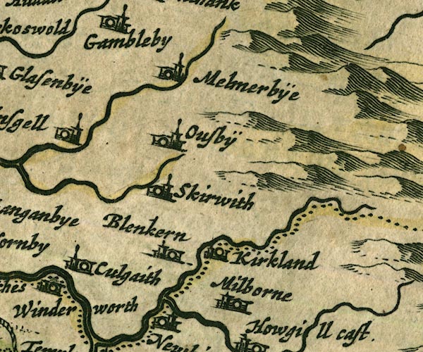
JAN3NY63.jpg
"Ousbÿ"
Buildings and tower.
item:- JandMN : 88
Image © see bottom of page
|
|
|
| evidence:- |
old map:- Morden 1695 (Cmd)
placename:- Ousby
|
| source data:- |
Map, uncoloured engraving, Cumberland, scale about 4 miles to 1
inch, by Robert Morden, 1695, published by Abel Swale, the
Unicorn, St Paul's Churchyard, Awnsham, and John Churchill, the
Black Swan, Paternoster Row, London, 1695-1715.
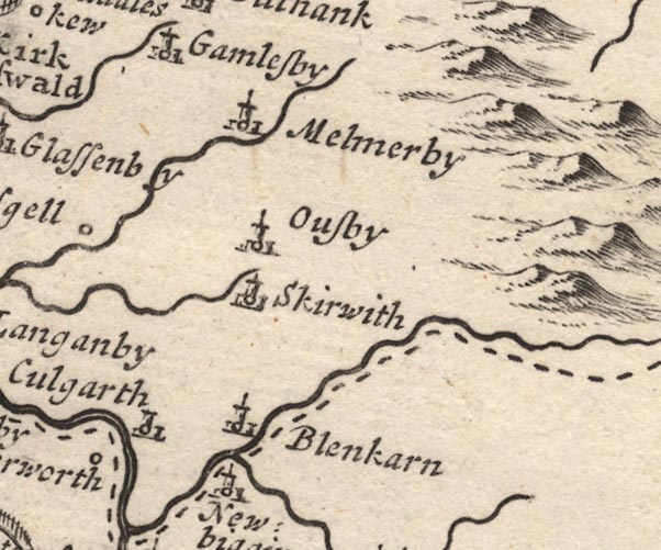
MD12NY63.jpg
"Ousby"
Circle, building and tower.
item:- JandMN : 90
Image © see bottom of page
|
|
|
| evidence:- |
old map:- Badeslade 1742
placename:- Ousby
|
| source data:- |
Map, uncoloured engraving, A Map of Cumberland North from
London, scale about 11 miles to 1 inch, with descriptive text,
by Thomas Badeslade, London, engraved and published by William
Henry Toms, Union Court, Holborn, London, 1742.
 click to enlarge click to enlarge
BD10.jpg
"Ousby"
circle, italic lowercase text; village, hamlet or locality
item:- JandMN : 115
Image © see bottom of page
|
|
|
| evidence:- |
old map:- Simpson 1746 map (Wmd)
placename:- Ousby
|
| source data:- |
Map, uncoloured engraving, Westmorland, scale about 8 miles to 1
inch, printed by R Walker, Fleet Lane, London, 1746.
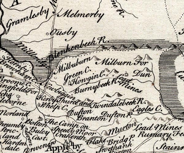
SMP2NYR.jpg
"Ousby"
Circle.
item:- Dove Cottage : 2007.38.59
Image © see bottom of page
|
|
|
| evidence:- |
old map:- Bowen and Kitchin 1760
placename:- Ousby
placename:- Owesby
|
| source data:- |
Map, hand coloured engraving, A New Map of the Counties of
Cumberland and Westmoreland Divided into their Respective Wards,
scale about 4 miles to 1 inch, by Emanuel Bowen and Thomas
Kitchin et al, published by T Bowles, Robert Sayer, and John
Bowles, London, 1760.
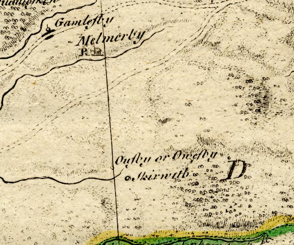
BO18NY63.jpg
"Ousby or Owesby"
circle, tower
item:- Armitt Library : 2008.14.10
Image © see bottom of page
|
|
|
| evidence:- |
old map:- Donald 1774 (Cmd)
placename:- Ousby
|
| source data:- |
Map, hand coloured engraving, 3x2 sheets, The County of Cumberland, scale about 1
inch to 1 mile, by Thomas Donald, engraved and published by Joseph Hodskinson, 29
Arundel Street, Strand, London, 1774.
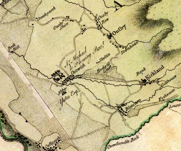
D4NY63SW.jpg
"Ousby"
blocks, and usually a church, labelled in upright lowercase; a village
item:- Carlisle Library : Map 2
Image © Carlisle Library |
|
|
| evidence:- |
old map:- Cooper 1808
placename:- Ouseby
|
| source data:- |
Map, uncoloured engraving, Cumberland, scale about 10.5 miles to
1 inch, drawn and engraved by Cooper, published by R Phillips,
Bridge Street, Blackfriars, London, 1808.
 click to enlarge click to enlarge
COP3.jpg
"Ouseby"
circle; village or hamlet
item:- JandMN : 86
Image © see bottom of page
|
|
|
| evidence:- |
old map:- Ford 1839 map
placename:- Ousby
|
| source data:- |
Map, uncoloured engraving, Map of the Lake District of
Cumberland, Westmoreland and Lancashire, scale about 3.5 miles
to 1 inch, published by Charles Thurnam, Carlisle, and by R
Groombridge, 5 Paternoster Row, London, 3rd edn 1843.
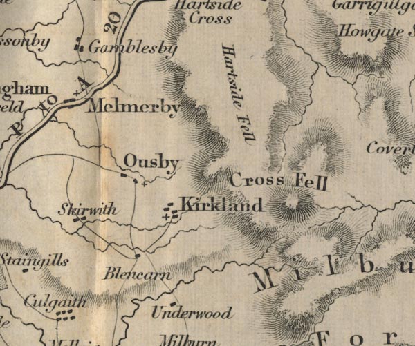
FD02NY63.jpg
"Ousby"
item:- JandMN : 100.1
Image © see bottom of page
|
|
|
| evidence:- |
old map:- Garnett 1850s-60s H
placename:- Ousby
|
| source data:- |
Map of the English Lakes, in Cumberland, Westmorland and
Lancashire, scale about 3.5 miles to 1 inch, published by John
Garnett, Windermere, Westmorland, 1850s-60s.
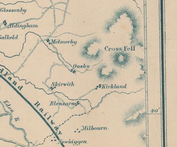
GAR2NY63.jpg
"Ousby"
blocks, settlement
item:- JandMN : 82.1
Image © see bottom of page
|
|
|
| places:- |
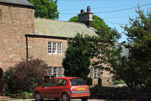 |
NY61983473 Bradley Foot (Ousby) L |
|
|
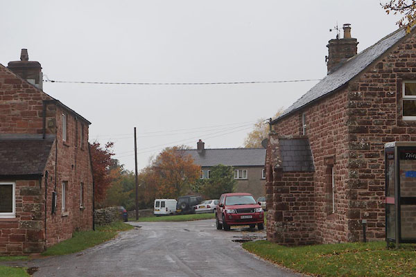 |
NY62013484 Bradley (Ousby) |
|
|
 |
NY62743462 chapel, Ousby (Ousby) |
|
|
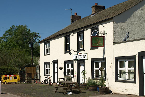 |
NY61933499 Fox Inn, The (Ousby) |
|
|
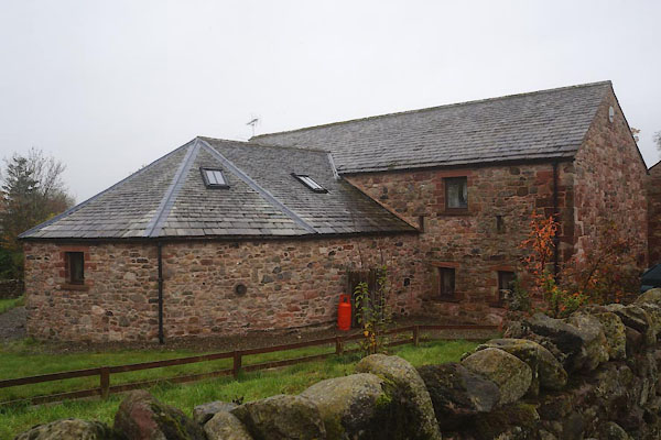 |
NY63263419 Gin Case Barn (Ousby) L |
|
|
 |
NY61943461 Hole Bank (Ousby) |
|
|
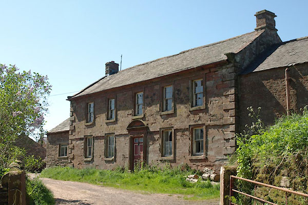 |
NY61773450 Hole Farm (Ousby) L |
|
|
 |
NY61873455 Hole (Ousby) |
|
|
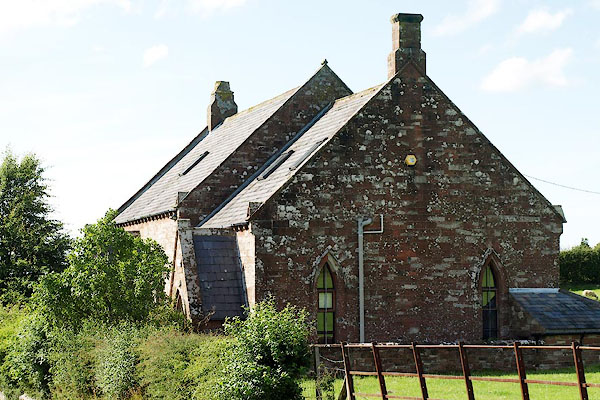 |
NY62613462 house, Ousby (Ousby) |
|
|
 |
NY63053452 mill, Ousby (Ousby) gone |
|
|
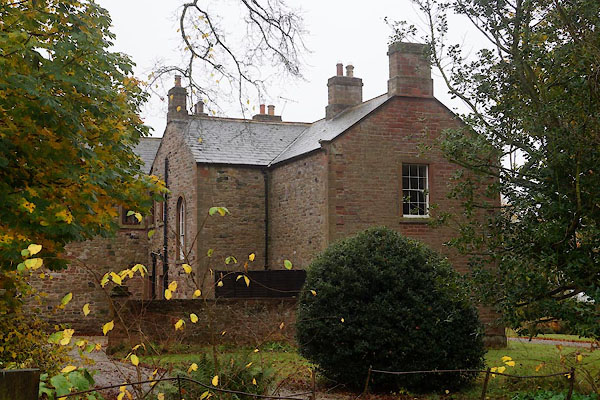 |
NY63203422 Old Rectory (Ousby) |
|
|
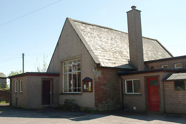 |
NY62283472 Ousby Community Centre (Ousby) |
|
|
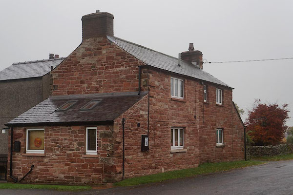 |
NY62073488 Pennine View (Ousby) |
|
|
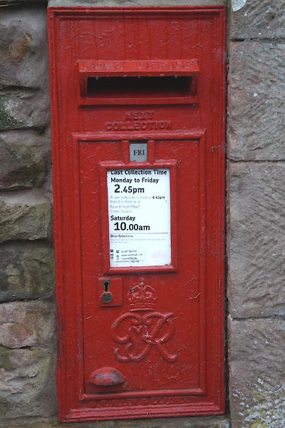 |
NY62753463 post box, Ousby (Ousby) |
|
|
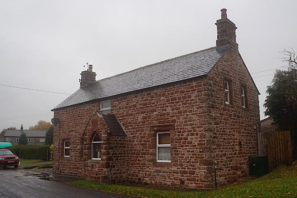 |
NY62083490 Reading Room (Ousby) |
|
|
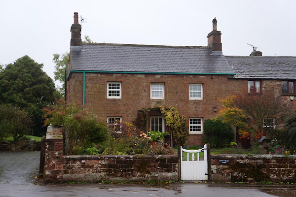 |
NY62783466 Row Head Farm (Ousby) |
|
|
 |
NY62653480 Row (Ousby) |
|
|
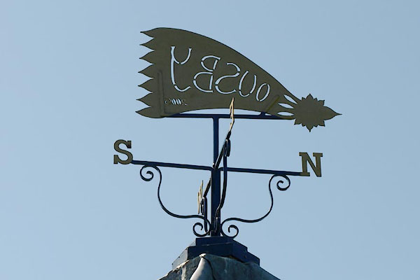 |
NY62073483 shelter, Ousby (Ousby) |
|
|
 |
NY61473517 Shire (Ousby) |
|
|
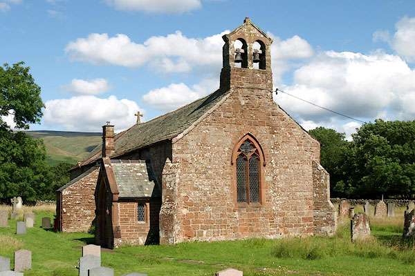 |
NY63183433 St Luke's Church (Ousby) L |
|
|
 |
NY63463404 Townhead (Ousby) |
|
|
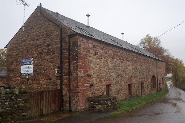 |
NY63253421 Rayson Hall Barns (Ousby) L |
|


 click to enlarge


 click to enlarge


