Old Cumbria Gazetteer
 |
 |
|
||
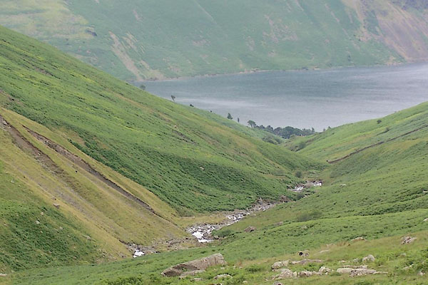
| Over Beck | ||||
| runs into:- |  Wast Water Wast Water |
|||
|
|
||||
| civil parish:- | Nether Wasdale (formerly Cumberland) | |||
| county:- | Cumbria | |||
| locality type:- | river | |||
| 1Km square:- | NY1608 | |||
| 10Km square:- | NY10 | |||
|
|
||||
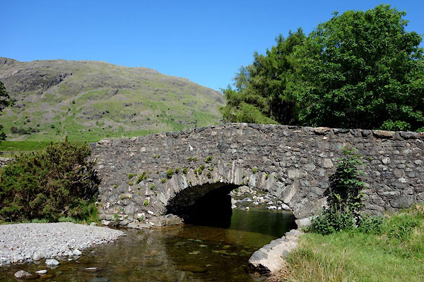
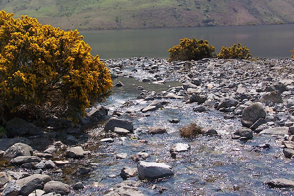 BMB37.jpg (taken 11.5.2006) 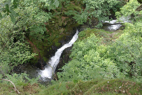 BTE60.jpg (taken 13.7.2010) |
||||
|
|
||||
| evidence:- | old map:- OS County Series (Cmd 74 10) placename:- Over Beck placename:- Beck, Over |
|||
| source data:- | Maps, County Series maps of Great Britain, scales 6 and 25
inches to 1 mile, published by the Ordnance Survey, Southampton,
Hampshire, from about 1863 to 1948. |
|||
|
|
||||
| evidence:- | perhaps old map:- Donald 1774 (Cmd) |
|||
| source data:- | Map, hand coloured engraving, 3x2 sheets, The County of Cumberland, scale about 1
inch to 1 mile, by Thomas Donald, engraved and published by Joseph Hodskinson, 29
Arundel Street, Strand, London, 1774.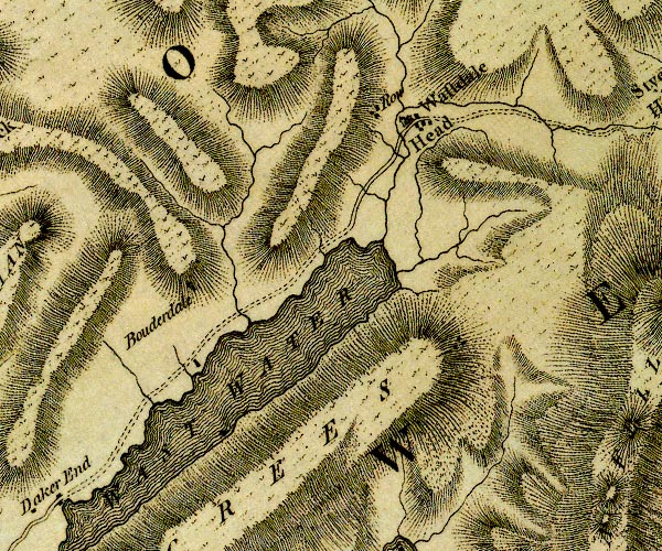 D4NY10NE.jpg single or double wiggly line; a river item:- Carlisle Library : Map 2 Image © Carlisle Library |
|||
|
|
||||
 BTF16.jpg (taken 13.7.2010) 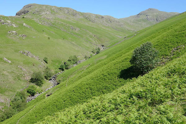 BYO71.jpg (taken 18.6.2013) 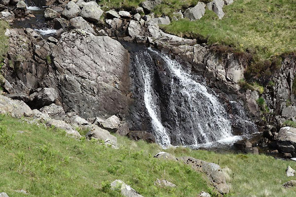 BYO73.jpg Waterfall, (taken 18.6.2013) 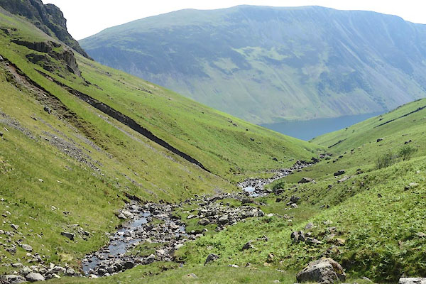 BYO74.jpg (taken 18.6.2013) 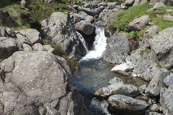 BYO75.jpg (taken 18.6.2013) 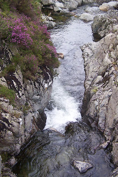 BTF18.jpg (taken 13.7.2010) 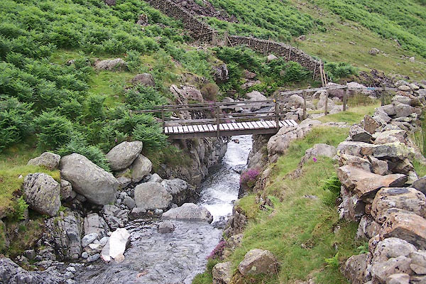 BTF17.jpg Footbridge, (taken 13.7.2010) 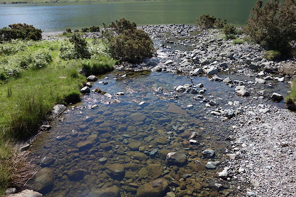 BYO42.jpg At Overbeck Bridge, (taken 18.6.2013) |
||||
|
|
||||
| places:- |
|
|||
Lakes Guides menu.