 Old Cumbria Gazetteer
 |
 |
|
| Plumgarth, Irton with Santon | ||
| Plumgarth | ||
| Plumgarth Farm | ||
| civil parish:- | Irton with Santon (formerly Cumberland) | |
| county:- | Cumbria | |
| locality type:- | buildings | |
| coordinates:- | NY12440039 | |
| 1Km square:- | NY1200 | |
| 10Km square:- | NY10 | |
|
|
||
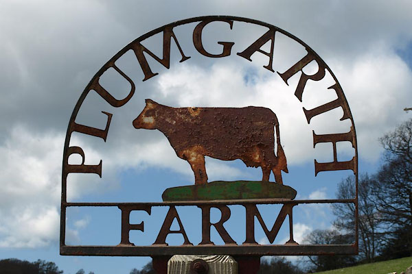 BYF78.jpg Farm name sign:- "PLUMGARTH FARM" (taken 27.4.2013) |
||
|
|
||
| evidence:- | old map:- OS County Series (Cmd 78 16) placename:- Plumgarth |
|
| source data:- | Maps, County Series maps of Great Britain, scales 6 and 25
inches to 1 mile, published by the Ordnance Survey, Southampton,
Hampshire, from about 1863 to 1948. |
|
|
|
||
 Lakes Guides menu.