 Old Cumbria Gazetteer
 |
 |
|
| Rampsbeck, Matterdale | ||
| Rampsbeck | ||
| Rampsbeck Hotel | ||
| civil parish:- | Matterdale (formerly Cumberland) | |
| county:- | Cumbria | |
| locality type:- | inn (now) | |
| coordinates:- | NY45142319 | |
| 1Km square:- | NY4523 | |
| 10Km square:- | NY42 | |
|
|
||
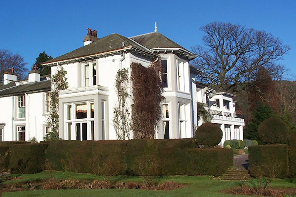 BLN52.jpg (taken 4.1.2006) 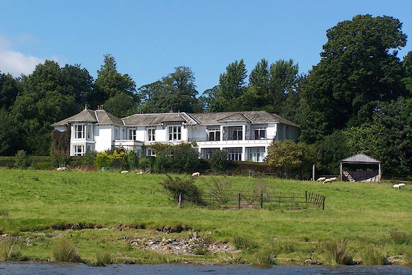 BNZ56.jpg (taken 24.8.2007) |
||
| The present hotel doesn't look like an 18th century building. |
||
|
|
||
| evidence:- | old map:- OS County Series (Cmd 66 6) placename:- Rampsbeck House |
|
| source data:- | Maps, County Series maps of Great Britain, scales 6 and 25
inches to 1 mile, published by the Ordnance Survey, Southampton,
Hampshire, from about 1863 to 1948. |
|
|
|
||
| evidence:- | possibly old map:- Clarke 1787 map (Ullswater) |
|
| source data:- | Map, A Map of the Lake Ullswater and its Environs, scale about
6.5 ins to 1 mile, by James Clarke, engraved by S J Neele, 352
Strand, published by James Clarke, Penrith, Cumberland and in
London etc, 1787.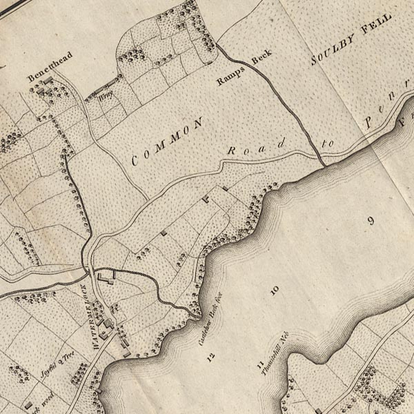 CL4NY42L.jpg item:- private collection : 10.4 Image © see bottom of page |
|
|
|
||
| evidence:- | old map:- Ford 1839 map placename:- Rampsbeck Lodge |
|
| source data:- | Map, uncoloured engraving, Map of the Lake District of
Cumberland, Westmoreland and Lancashire, scale about 3.5 miles
to 1 inch, published by Charles Thurnam, Carlisle, and by R
Groombridge, 5 Paternoster Row, London, 3rd edn 1843.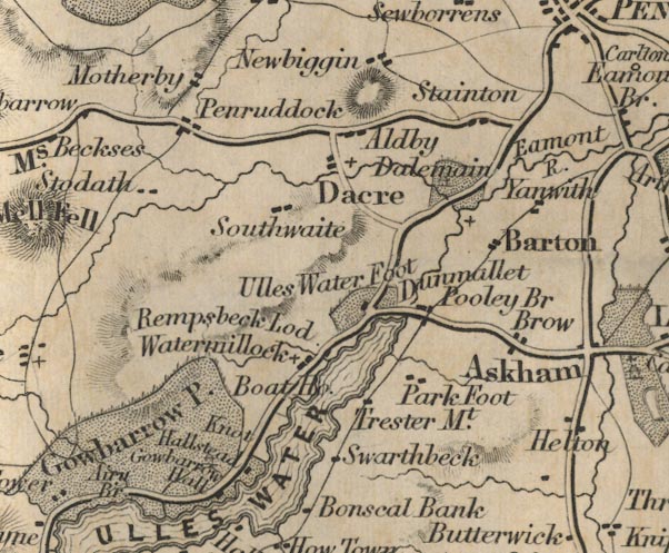 FD02NY42.jpg "Rampsbeck Lod." item:- JandMN : 100.1 Image © see bottom of page |
|
|
|
||
 Lakes Guides menu.