 Old Cumbria Gazetteer
 |
 |
|
| Red Nab, Claife | ||
| Red Nab | ||
| site name:- | Windermere lake | |
| civil parish:- | Claife (formerly Lancashire) | |
| county:- | Cumbria | |
| locality type:- | headland | |
| coordinates:- | SD38549949 | |
| 1Km square:- | SD3899 | |
| 10Km square:- | SD39 | |
|
|
||
| evidence:- | old map:- OS County Series (Lan 2 15) placename:- Red Nab |
|
| source data:- | Maps, County Series maps of Great Britain, scales 6 and 25
inches to 1 mile, published by the Ordnance Survey, Southampton,
Hampshire, from about 1863 to 1948. OS County Series (Wmd 32 7) |
|
|
|
||
| evidence:- | old map:- Prior 1874 map 1 placename:- Red Nab |
|
| source data:- | Map, uncoloured engraving or lithograph? Winander Mere, scale
about 2.5 miles to 1 inch, published by John Garnett,
Windermere, Westmorland, 1874.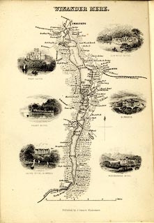 click to enlarge click to enlargePI03M1.jpg "Red Nab" locality item:- private collection : 133.1 Image © see bottom of page |
|
|
|
||
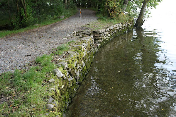 BZI88.jpg Landing. (taken 20.9.2013) 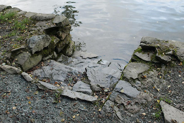 BZI89.jpg Landing. (taken 20.9.2013) |
||
|
|
||
 Lakes Guides menu.