 Old Cumbria Gazetteer
 |
 |
|
| Riddingshill, Kirkandrews | ||
| Riddings Hill | ||
| Riddingshill | ||
| locality:- | Moat Common (near) | |
| civil parish:- | Kirkandrews (formerly Cumberland) | |
| county:- | Cumbria | |
| locality type:- | buildings | |
| coordinates:- | NY40937437 | |
| 1Km square:- | NY4074 | |
| 10Km square:- | NY47 | |
|
|
||
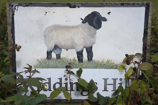 CBN41.jpg Sign at entrance. (taken 29.8.2014) |
||
|
|
||
| evidence:- | old map:- OS County Series (Cmd 6 8) placename:- Station |
|
| source data:- | Maps, County Series maps of Great Britain, scales 6 and 25
inches to 1 mile, published by the Ordnance Survey, Southampton,
Hampshire, from about 1863 to 1948. |
|
|
|
||
 Lakes Guides menu.