 Old Cumbria Gazetteer
 |
 |
|
| Rossett Gill | ||
| runs into:- |  Mickleden Beck Mickleden Beck |
|
|
|
||
| civil parish:- | Lakes (formerly Westmorland) | |
| county:- | Cumbria | |
| locality type:- | river | |
| locality type:- | valley | |
| 1Km square:- | NY2507 | |
| 10Km square:- | NY20 | |
|
|
||
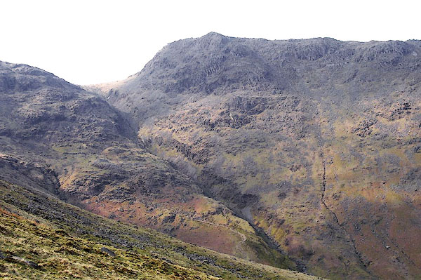 BNL52.jpg (taken 26.3.2007) 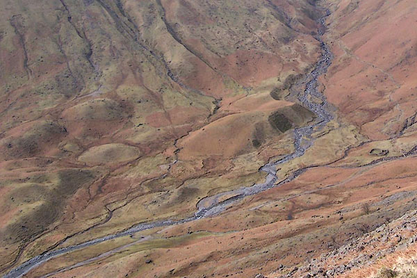 BSI87.jpg Drumlins at the bottom of the higher gill. (taken 23.3.2010) |
||
|
|
||
| evidence:- | old map:- OS County Series (Wmd 25 1) placename:- Rossett Gill |
|
| source data:- | Maps, County Series maps of Great Britain, scales 6 and 25
inches to 1 mile, published by the Ordnance Survey, Southampton,
Hampshire, from about 1863 to 1948. |
|
|
|
||
| evidence:- | old map:- Jefferys 1770 (Wmd) |
|
| source data:- | Map, 4 sheets, The County of Westmoreland, scale 1 inch to 1
mile, surveyed 1768, and engraved and published by Thomas
Jefferys, London, 1770.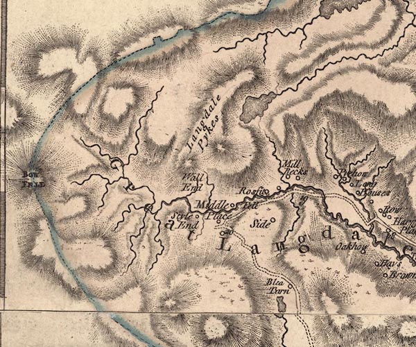 J5NY20NE.jpg single or double wiggly line; river item:- National Library of Scotland : EME.s.47 Image © National Library of Scotland |
|
|
|
||
| evidence:- | old photograph:- Bell 1880s-1940s |
|
| source data:- | Photograph, sepia, View from Rossett Ghyll, Westmorland, by Herbert Bell, photographer,
Ambleside, Westmorland, 1890s.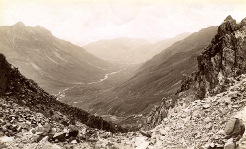 click to enlarge click to enlargeHB0644.jpg internegative at lower left:- "H. Bell" item:- Armitt Library : ALPS307 Image © see bottom of page |
|
|
|
||
| evidence:- | old photograph:- Marr 1916 placename:- Rossett Gill |
|
| source data:- | Photograph, halftone print, Moraine Mounds, foot of Rossett Gill, Langdale, Westmorland,
1916.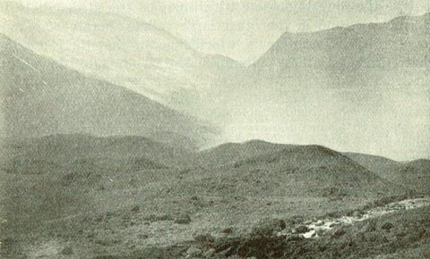 click to enlarge click to enlargeMA1223.jpg item:- JandMN : 173.31 Image © see bottom of page |
|
|
|
||
| evidence:- | old print:- Garnett 1850s-60s A placename:- Rosset Ghyll |
|
| source data:- | Print, uncoloured engraving, Head of Langdale, from the Blea
Tarn Road, published by John Garnett, Windermere, Westmorland,
and by Simpkin, Marshall and Co, London, 2nd edn 1860s?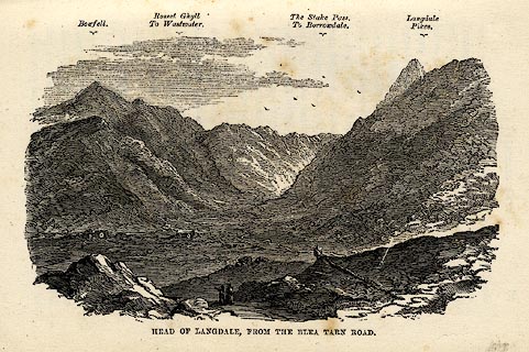 click to enlarge click to enlargeGAR6E2.jpg item:- JandMN : 149.3 Image © see bottom of page |
|
|
|
||
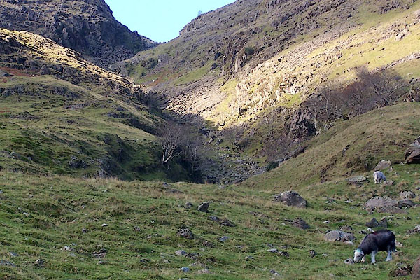 BRW55.jpg Upper gully, (taken 11.11.2009) 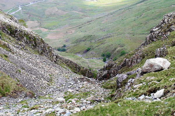 BPF60.jpg Upper gully, looking to Mickleden, (taken 20.5.2008) 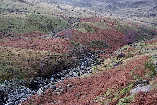 BRW50.jpg (taken 11.11.2009) 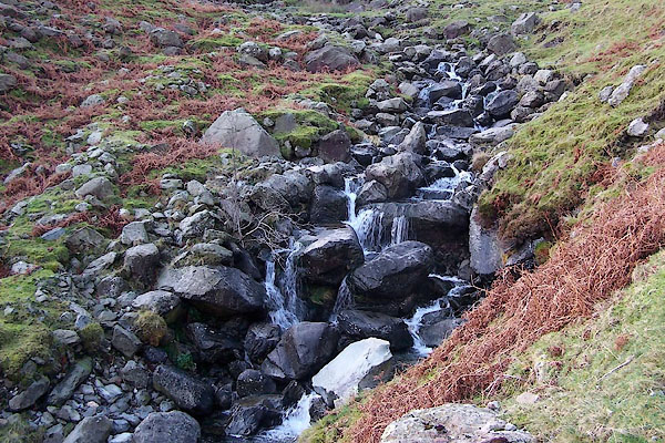 BRW51.jpg (taken 11.11.2009) |
||
|
|
||
| story:- |
A story is told by Hudson, told him by his guide, the son of a local farmer in 1851:- |
|
| "High up above the vale of Great Langdale we came to the Old Woman's Grave. Tradition
relates that a Westmoreland woman, who was in the practice, for many years, of going
over into Cumberland to receive an annuity, perished in the mountains. She was buried
on the spot, and a row of flat stones marks her grave. My guide pointed to the hollow,
a few yards below, where the body is said to have been found." |
||
| According to H Mounsey of Skelwith reported by Alfred Wainwright much later, a pack
woman used to walk the area selling haberdashery etc in the mid 18th century. She
died beside the gill in a storm, and is buried in an unmarked grave. |
||
|
|
||
Lakes Guides menu.