 |
 |
|
|
|
|
Row |
| locality:- |
Ousby |
| civil parish:- |
Ousby (formerly Cumberland) |
| county:- |
Cumbria |
| locality type:- |
locality |
| locality type:- |
buildings |
| coordinates:- |
NY62653480 (etc) |
| 1Km square:- |
NY6234 |
| 10Km square:- |
NY63 |
|
|
| evidence:- |
old map:- OS County Series (Cmd 51 5)
placename:- Row
|
| source data:- |
Maps, County Series maps of Great Britain, scales 6 and 25
inches to 1 mile, published by the Ordnance Survey, Southampton,
Hampshire, from about 1863 to 1948.
|
|
|
| evidence:- |
old map:- Donald 1774 (Cmd)
placename:- Ousby Row
|
| source data:- |
Map, hand coloured engraving, 3x2 sheets, The County of Cumberland, scale about 1
inch to 1 mile, by Thomas Donald, engraved and published by Joseph Hodskinson, 29
Arundel Street, Strand, London, 1774.
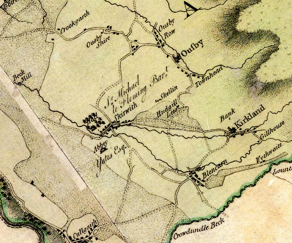
D4NY63SW.jpg
"Ousby Row"
block or blocks, labelled in lowercase; a hamlet or just a house
item:- Carlisle Library : Map 2
Image © Carlisle Library |
|
|
| places:- |
 |
SD45098959 Back Lane (Crosthwaite and Lyth) |
|
|
 |
SD45128922 Row Barn (Crosthwaite and Lyth) |
|
|
|
SD45158951 Brow Head (Crosthwaite and Lyth) |
|
|
 |
SD45148937 cattle trough, Row (Crosthwaite and Lyth) |
|
|
|
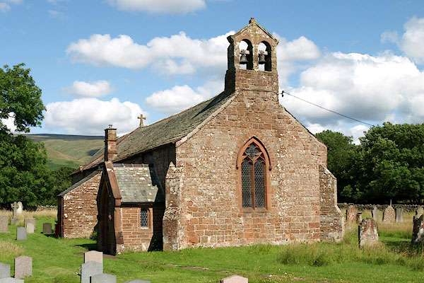
NY62743462 chapel, Ousby (Ousby) |
|
|
|
SD44948936 Copup Hill (Crosthwaite and Lyth) |
|
|
 |
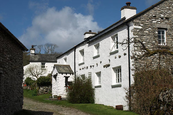
SD45168927 house, Row (Crosthwaite and Lyth) |
|
|
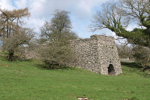 |
SD44938932 limekiln, Row (Crosthwaite and Lyth) L |
|
|
|
SD45188923 Maze Well (Crosthwaite and Lyth) gone? |
|
|
|
SD45178931 Megbeck Well (Crosthwaite and Lyth) |
|
|
|
SD45178920 Michael Yeat (Crosthwaite and Lyth) |
|
|
 |
SD45078924 Nancy Cottage (Crosthwaite and Lyth) |
|
|
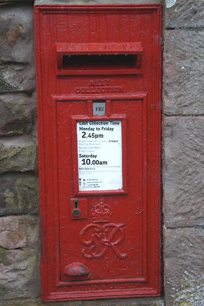 |
NY62753463 post box, Ousby (Ousby) |
|
|
 |
SD45128923 Row Farm House (Crosthwaite and Lyth) |
|
|
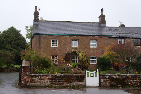 |
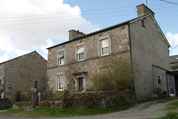
NY62783466 Row Head Farm (Ousby) |
|
|
|
SD45358914 Row Lane (Crosthwaite and Lyth) |
|
|
|
SD45118943 Row Road (Crosthwaite and Lyth) |
|
|
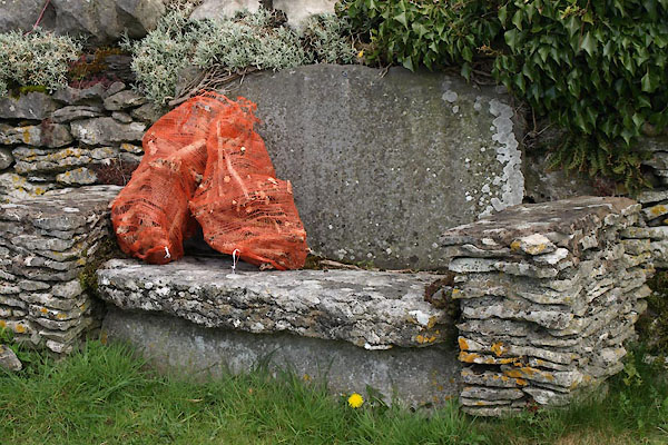 |
SD45058926 seat, Row (Crosthwaite and Lyth) |
|
|
 |
SD44978929 sheepfold, Row (Crosthwaite and Lyth) |
|
|
|
SD44938948 Shepherd's Tenement (Crosthwaite and Lyth) |
|
|
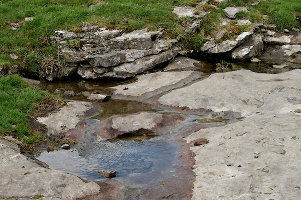 |
SD44938926 spring, Row (Crosthwaite and Lyth) |
|
|
 |
NY63183433 St Luke's Church (Ousby) L |
|
|
|
SD45128917 Tommy Well (Crosthwaite and Lyth) |
|
