Old Cumbria Gazetteer
 |
 |
|
||
| Scale Beck | ||||
| civil parish:- | Loweswater (formerly Cumberland) | |||
| county:- | Cumbria | |||
| locality type:- | river | |||
| 1Km square:- | NY1416 | |||
| 10Km square:- | NY11 | |||
|
|
||||
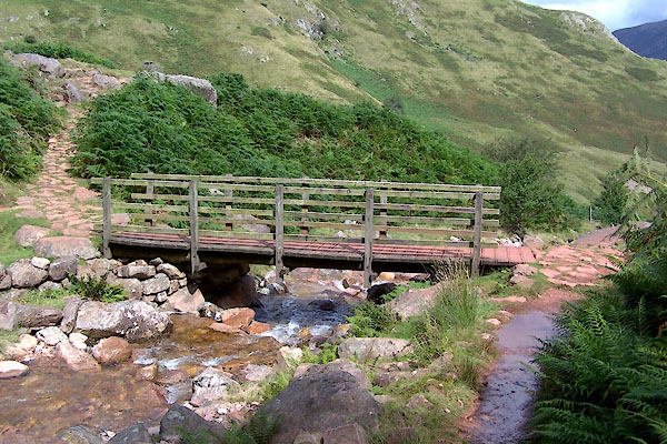
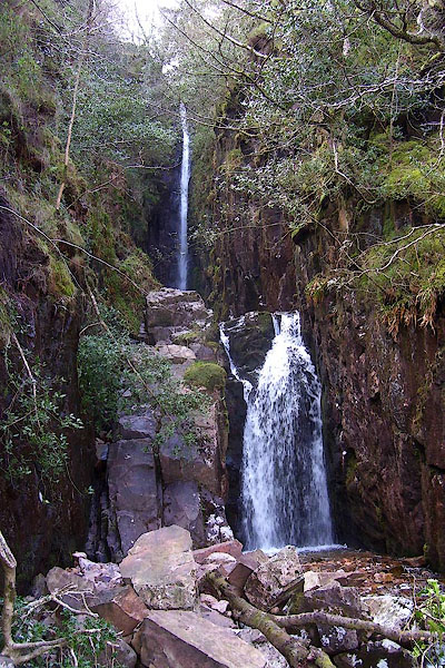
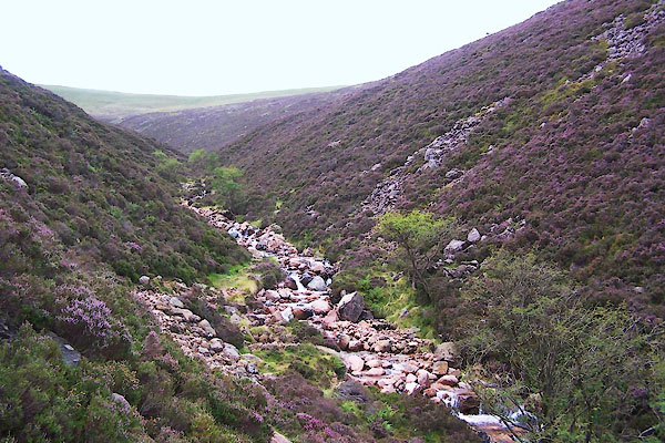
 BPA50.jpg Above Scale Force. (taken 16.4.2008) 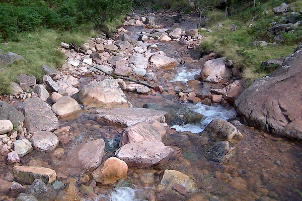 BVG96.jpg Below footbridge below the force, (taken 17.8.2011) |
||||
|
|
||||
| evidence:- | old map:- Crosthwaite 1783-94 (But/Cru/Low) |
|||
| source data:- | Map, uncoloured engraving, An Accurate Map of Buttermere,
Crummock and Loweswater Lakes, scale about 3 inches to 1 mile,
by Peter Crosthwaite, Keswick, Cumberland, 1794, version
published 1800.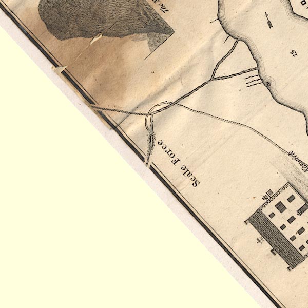 CT8NY11N.jpg Showing two arms descending to the lake. item:- Armitt Library : 1959.191.2 Image © see bottom of page |
|||
|
|
||||
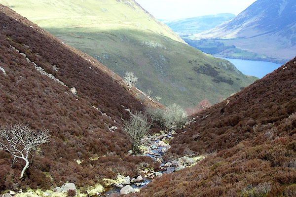
 BVG99.jpg (taken 17.8.2011) 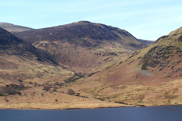 BLY24.jpg (taken 24.4.2006)  BJY21.jpg Valley from across Crummock Water. (taken 14.10.2005) |
||||
|
|
||||
| places:- |
|
|||
|
||||
 Lakes Guides menu.