 Old Cumbria Gazetteer
 |
 |
|
| School Knott, Windermere | ||
| School Knott | ||
| civil parish:- | Windermere (formerly Westmorland) | |
| county:- | Cumbria | |
| locality type:- | hill | |
| coordinates:- | SD42549741 | |
| 1Km square:- | SD4297 | |
| 10Km square:- | SD49 | |
| altitude:- | 761 feet | |
| altitude:- | 232m | |
|
|
||
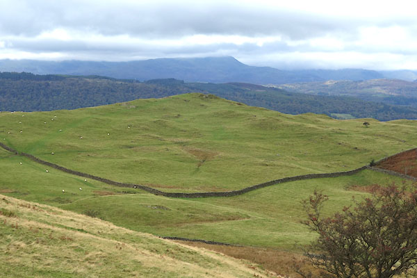 CGR81.jpg (taken 9.10.2017) |
||
|
|
||
| evidence:- | old map:- OS County Series (Wmd 32 12) placename:- School Knott |
|
| source data:- | Maps, County Series maps of Great Britain, scales 6 and 25
inches to 1 mile, published by the Ordnance Survey, Southampton,
Hampshire, from about 1863 to 1948. |
|
|
|
||
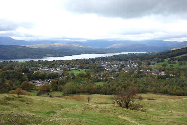 CGR82.jpg View from. (taken 9.10.2017) |
||
|
|
||
 Lakes Guides menu.