 |
 |
|
|
|
|
Silecroft |
|
Sylecroft |
| civil parish:- |
Whicham (formerly Cumberland) |
| county:- |
Cumbria |
| locality type:- |
locality |
| locality type:- |
buildings |
| coordinates:- |
SD13108193 (etc) |
| 1Km square:- |
SD1381 |
| 10Km square:- |
SD18 |
|
|
| evidence:- |
old map:- Donald 1774 (Cmd)
placename:- Silecroft
|
| source data:- |
Map, hand coloured engraving, 3x2 sheets, The County of Cumberland, scale about 1
inch to 1 mile, by Thomas Donald, engraved and published by Joseph Hodskinson, 29
Arundel Street, Strand, London, 1774.
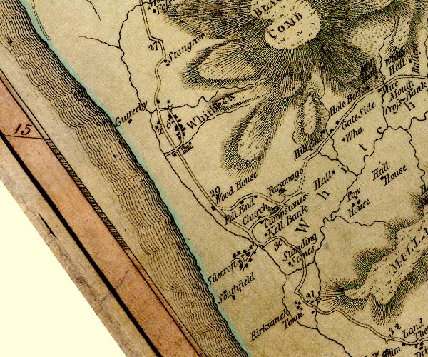
D4SD18SW.jpg
"Silecroft"
block or blocks, labelled in lowercase; a hamlet or just a house
item:- Carlisle Library : Map 2
Image © Carlisle Library |
|
|
notes:-
|
There was a local brick maker, W J Walker, and his bricks might be seen abut the village,
marked
|
|
"[W. J. Walker Sylecroft]"
|
|
|
| places:- |
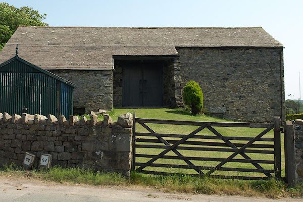 |
SD13298212 barn, Silecroft (Whicham) |
|
|
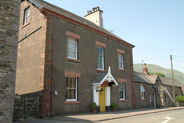 |
SD13068191 Cross House (Whicham) |
|
|
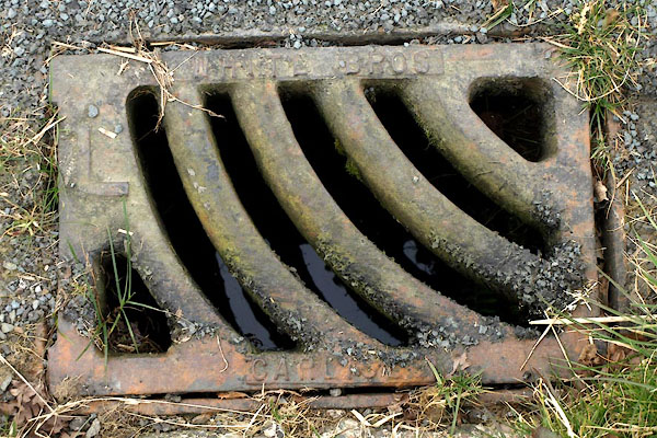 |
SD12858165 drain, Silecroft (Whicham) |
|
|
 |
SD13128196 Fairfield (Whicham) |
|
|
 |
SD13258213 Hodgson's Green (Whicham) |
|
|
 |
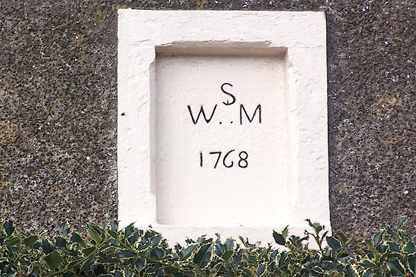
SD13088193 house, Silecroft (Whicham) L |
|
|
 |
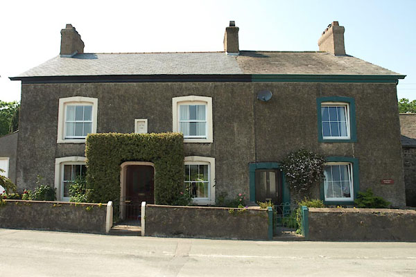
SD13028194 Manor House (Whicham) L |
|
|
 |
SD13528219 mine, Whicham (Whicham) |
|
|
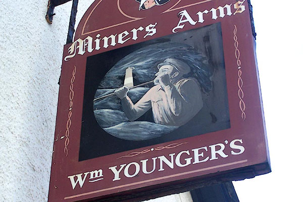 |
SD13148198 Miners Arms (Whicham) |
|
|
|
SD13258207 police station, Silecroft (Whicham) |
|
|
|
SD13148202 Silecroft Post Office (Whicham) |
|
|
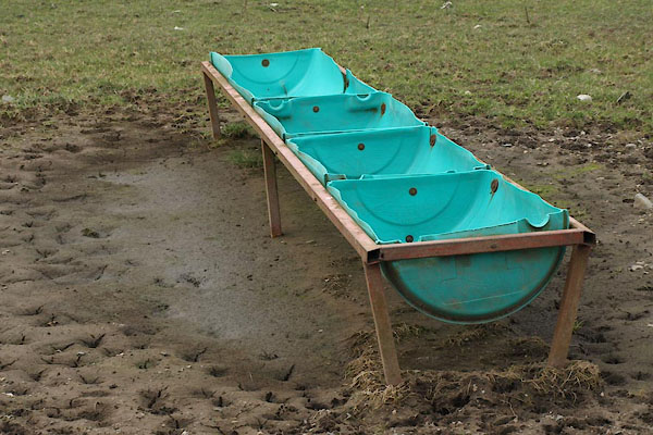 |
SD12848164 sheep feeder, Silecroft (Whicham) |
|
|
|
SD1282 Silecroft Beck (Whicham) |
|
|
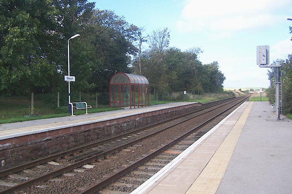 |
SD13108196 Silecroft Station (Millom Without) |
|
|
 |
SD13108198 Station House (Whicham) |
|
|
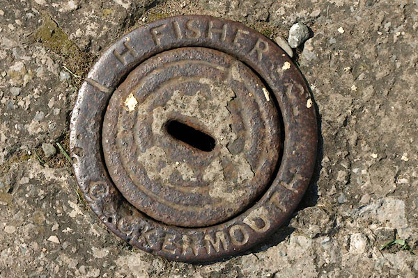 |
SD13068188 stop cock, Silecroft (Whicham) |
|
|
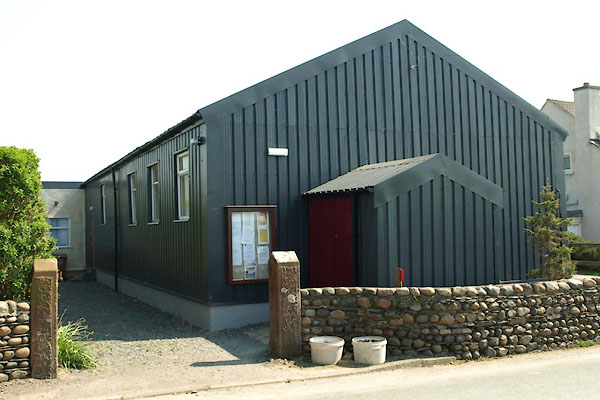 |
SD13228206 village hall, Silecroft (Whicham) |
|
|
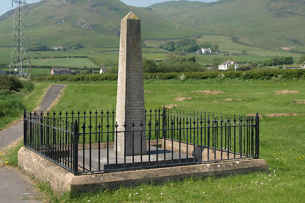 |
SD13278214 war memorial, Silecroft (Whicham) |
|
|
|
SD13168206 bridge, Silecroft (Whicham) |
|
