 Old Cumbria Gazetteer
 |
 |
|
| Spoon Hall, Coniston | ||
| Spoon Hall | ||
| civil parish:- | Coniston (formerly Lancashire) | |
| county:- | Cumbria | |
| locality type:- | buildings | |
| coordinates:- | SD29799662 | |
| 1Km square:- | SD2996 | |
| 10Km square:- | SD29 | |
|
|
||
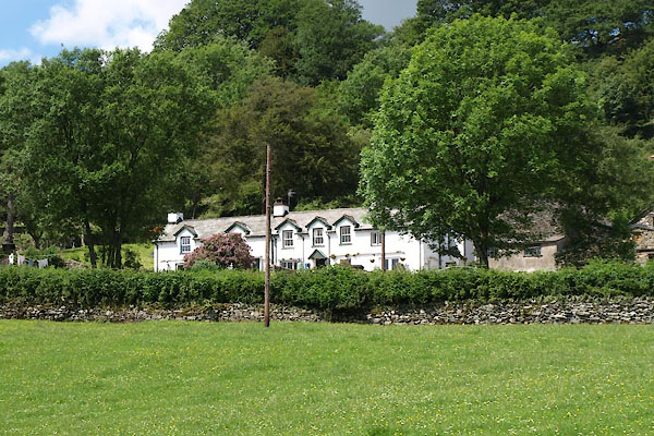 BWU15.jpg (taken 18.6.2012) 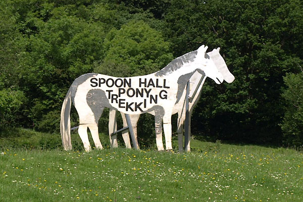 BWU16.jpg Sign. (taken 18.6.2012) |
||
|
|
||
| evidence:- | old map:- OS County Series (Lan 4 7) placename:- Spoon Hall |
|
| source data:- | Maps, County Series maps of Great Britain, scales 6 and 25
inches to 1 mile, published by the Ordnance Survey, Southampton,
Hampshire, from about 1863 to 1948. |
|
|
|
||
 Lakes Guides menu.