 Old Cumbria Gazetteer
 |
 |
|
| Stable Harvey Moss, Blawith and Subberthwaite | ||
| Stable Harvey Moss | ||
| civil parish:- | Blawith and Subberthwaite (formerly Lancashire) | |
| county:- | Cumbria | |
| locality type:- | moss | |
| coordinates:- | SD278917 (etc) | |
| 1Km square:- | SD2791 | |
| 10Km square:- | SD29 | |
|
|
||
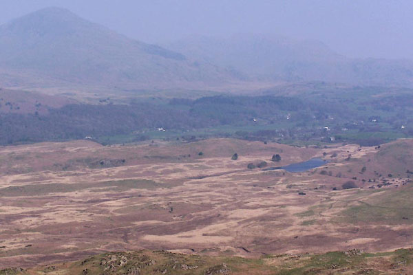 BUI96.jpg Throng Moss Reservoir in distance. (taken 19.4.2011) |
||
|
|
||
| evidence:- | old map:- OS County Series (Lan 7 3) placename:- Stable Harvey Moss placename:- Throng Moss |
|
| source data:- | Maps, County Series maps of Great Britain, scales 6 and 25
inches to 1 mile, published by the Ordnance Survey, Southampton,
Hampshire, from about 1863 to 1948. "STABLE HARVEY MOSS" |
|
| source data:- | Maps, County Series maps of Great Britain, scales 6 and 25
inches to 1 mile, published by the Ordnance Survey, Southampton,
Hampshire, from about 1863 to 1948. "THRONG MOSS" |
|
|
|
||
 Lakes Guides menu.