 Old Cumbria Gazetteer
 |
 |
|
| Stoneside Hill, Millom Without | ||
| Stoneside Hill | ||
| locality:- | Bootle Fell | |
| civil parish:- | Millom Without (formerly Cumberland) | |
| civil parish:- | Bootle (formerly Cumberland) | |
| county:- | Cumbria | |
| locality type:- | hill | |
| coordinates:- | SD14588926 | |
| 1Km square:- | SD1489 | |
| 10Km square:- | SD18 | |
| altitude:- | 1385 feet | |
| altitude:- | 422m | |
|
|
||
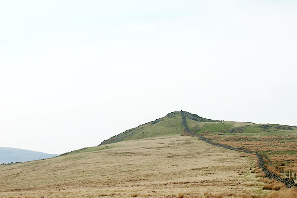 BQK49.jpg (taken 17.4.2009) |
||
|
|
||
| evidence:- | old map:- OS County Series (Cmd 86 9) placename:- Stoneside Hill |
|
| source data:- | Maps, County Series maps of Great Britain, scales 6 and 25
inches to 1 mile, published by the Ordnance Survey, Southampton,
Hampshire, from about 1863 to 1948. |
|
|
|
||
| evidence:- | old map:- Otley 1818 placename:- Stoneside |
|
| source data:- | Map, uncoloured engraving, The District of the Lakes,
Cumberland, Westmorland, and Lancashire, scale about 4 miles to
1 inch, by Jonathan Otley, 1818, engraved by J and G Menzies,
Edinburgh, Scotland, published by Jonathan Otley, Keswick,
Cumberland, et al, 1833.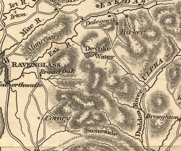 OT02SD19.jpg item:- JandMN : 48.1 Image © see bottom of page |
|
|
|
||
| evidence:- | old map:- Ford 1839 map placename:- Stones Head |
|
| source data:- | Map, uncoloured engraving, Map of the Lake District of
Cumberland, Westmoreland and Lancashire, scale about 3.5 miles
to 1 inch, published by Charles Thurnam, Carlisle, and by R
Groombridge, 5 Paternoster Row, London, 3rd edn 1843.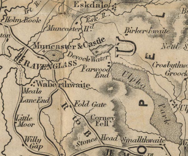 FD02SD19.jpg "Stones Head" No symbol, or hill hachuring. item:- JandMN : 100.1 Image © see bottom of page |
|
|
|
||
| evidence:- | old map:- Garnett 1850s-60s H placename:- Stoneside |
|
| source data:- | Map of the English Lakes, in Cumberland, Westmorland and
Lancashire, scale about 3.5 miles to 1 inch, published by John
Garnett, Windermere, Westmorland, 1850s-60s.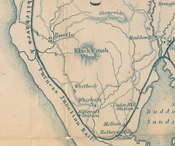 GAR2SD18.jpg "Stoneside" hill hachuring item:- JandMN : 82.1 Image © see bottom of page |
|
|
|
||
| evidence:- | possibly old map:- Postlethwaite 1877 (3rd edn 1913) placename:- Stoneside Fell |
|
| source data:- | Map, uncoloured engraving, Map of the Lake District Mining Field, Westmorland, Cumberland,
Lancashire, scale about 5 miles to 1 inch, by John Postlethwaite, published by W H
Moss and Sons, 13 Lowther Street, Whitehaven, Cumberland, 1877 edn 1913.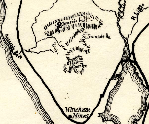 PST2SD18.jpg "Stoneside Fell" hill hachuring item:- JandMN : 162.2 Image © see bottom of page |
|
|
|
||
 Lakes Guides menu.