 Old Cumbria Gazetteer
 |
 |
|
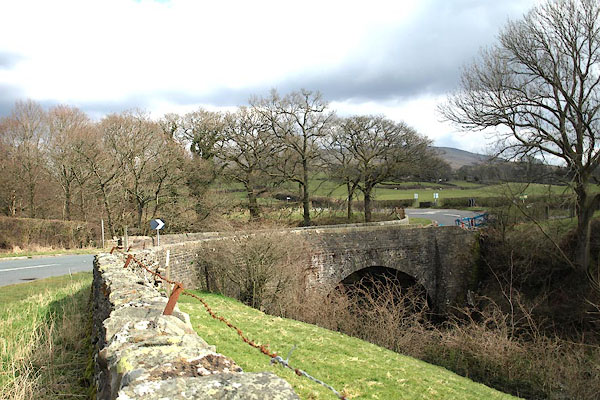
| Straight Bridge, Sedbergh | ||
| Straight Bridge | ||
| site name:- | Rawthey, River | |
| civil parish:- | Sedbergh (formerly Yorkshire) | |
| county:- | Cumbria | |
| locality type:- | bridge | |
| coordinates:- | SD67749235 | |
| 1Km square:- | SD6792 | |
| 10Km square:- | SD69 | |
|
|
||
| MN photo:- |
The bridge might be straight over the water, but the road bends before and after. |
|
 BOX89.jpg (taken 31.3.2008) 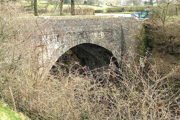 BOX90.jpg (taken 31.3.2008) |
||
|
|
||
| evidence:- | old map:- Jefferys 1770 (Wmd) |
|
| source data:- | Map, 4 sheets, The County of Westmoreland, scale 1 inch to 1
mile, surveyed 1768, and engraved and published by Thomas
Jefferys, London, 1770.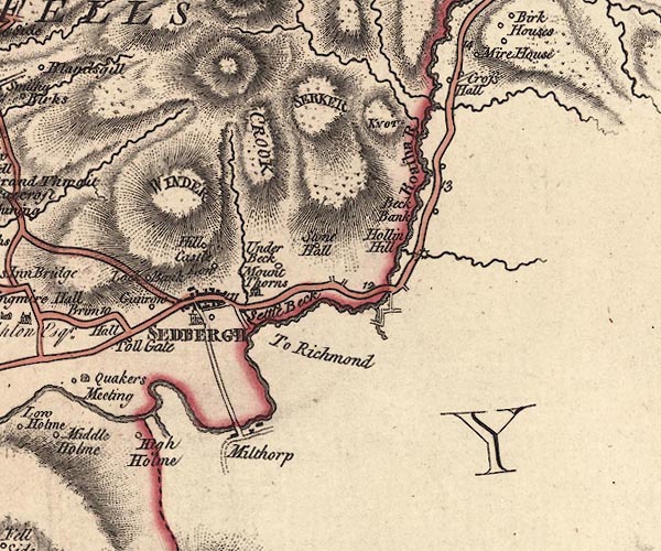 J5SD69SE.jpg double line, road, across a stream; bridge item:- National Library of Scotland : EME.s.47 Image © National Library of Scotland |
|
|
|
||
| evidence:- | old map:- Cary 1789 (edn 1805) |
|
| source data:- | Map, uncoloured engraving, Westmoreland, scale about 2.5 miles
to 1 inch, by John Cary, London, 1789; edition 1805.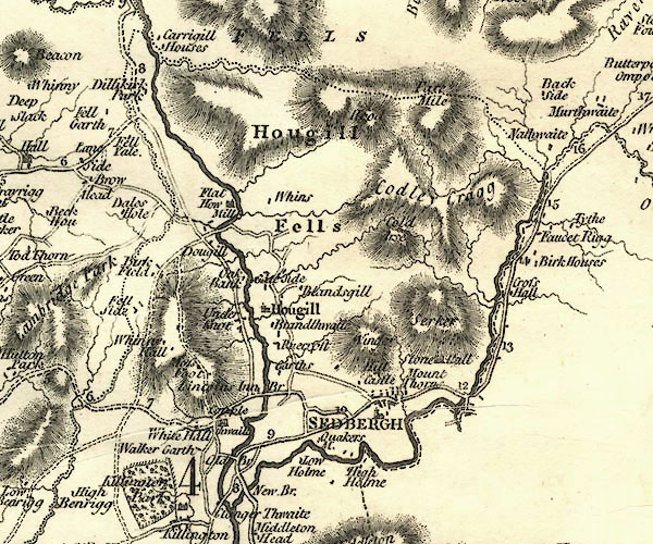 CY24SD69.jpg road across a stream; bridge over the Rawthey item:- JandMN : 129 Image © see bottom of page |
|
|
|
||
| evidence:- | database:- Listed Buildings 2010 placename:- Straight Bridge |
|
| source data:- | courtesy of English Heritage "STRAIGHT BRIDGE / / CAUTLEY ROAD / SEDBERGH / SOUTH LAKELAND / CUMBRIA / II / 484546 / SD6774692347" |
|
| source data:- | courtesy of English Heritage "Public road bridge over River Rawthey. Probably late C17 or early C18; widened on north-east side in C19. Coursed sandstone rubble. One high segmental arch, the south-west side with double-course voussoirs; rebuilt parapets; battered abutments." |
|
|
|
||
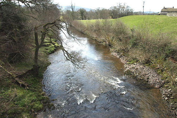 BOX91.jpg View of river. (taken 31.3.2008) 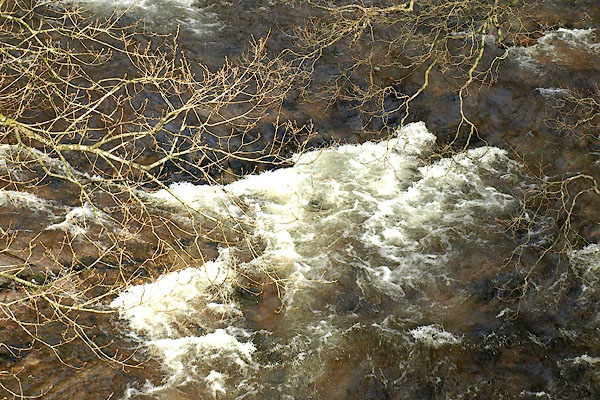 BOX92.jpg View of river. (taken 31.3.2008) |
||
|
|
||
 Lakes Guides menu.