 Old Cumbria Gazetteer
 |
 |
|
| Tewet Tarn, St John's Castlerigg etc | ||
| runs into:- |  Naddle Beck (indirectly) Naddle Beck (indirectly) |
|
|
|
||
| Tewet Tarn | ||
| Tewfit Tarn | ||
| locality:- | Low Rigg | |
| locality:- | Naddle Fell | |
| civil parish:- | St John's Castlerigg and Wythburn (formerly Cumberland) | |
| county:- | Cumbria | |
| locality type:- | tarn | |
| coordinates:- | NY30452354 (etc) | |
| 1Km square:- | NY3023 | |
| 10Km square:- | NY32 | |
| altitude:- | 672 feet | |
| altitude:- | 205m | |
|
|
||
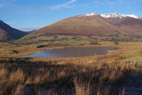 BXT54.jpg (taken 13.12.2012) 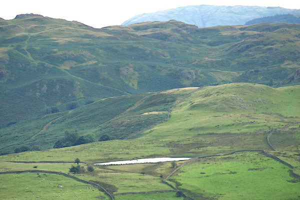 BPP91.jpg From the side of Saddleback. (taken 23.8.2008) |
||
|
|
||
| evidence:- | old map:- OS County Series (Cmd 64 8) placename:- Tewet Tarn |
|
| source data:- | Maps, County Series maps of Great Britain, scales 6 and 25
inches to 1 mile, published by the Ordnance Survey, Southampton,
Hampshire, from about 1863 to 1948. |
|
|
|
||
Lakes Guides menu.