 Old Cumbria Gazetteer
 |
 |
|
| Threlkeld Station, Threlkeld | ||
| Threlkeld Station | ||
| site name:- | Cockermouth, Keswick and Penrith Railway | |
| locality:- | Threlkeld | |
| civil parish:- | St John's Castlerigg and Wythburn (formerly Cumberland) | |
| county:- | Cumbria | |
| locality type:- | railway station | |
| coordinates:- | NY32072460 | |
| 1Km square:- | NY3224 | |
| 10Km square:- | NY32 | |
| SummaryText:- | Opened 1865; closed 1972. | |
|
|
||
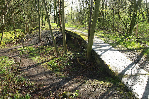 BPC67.jpg (taken 2.5.2008) 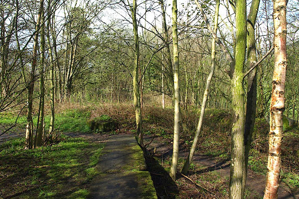 BPC68.jpg View W. (taken 2.5.2008) |
||
|
|
||
| evidence:- | old map:- OS County Series (Cmd 64) placename:- Threlkeld Station |
|
| source data:- | Maps, County Series maps of Great Britain, scales 6 and 25
inches to 1 mile, published by the Ordnance Survey, Southampton,
Hampshire, from about 1863 to 1948. "Threlkeld Station" |
|
|
|
||
| evidence:- | old map:- Postlethwaite 1877 (3rd edn 1913) placename:- Threlkeld Station |
|
| source data:- | Map, uncoloured engraving, Map of the Lake District Mining Field, Westmorland, Cumberland,
Lancashire, scale about 5 miles to 1 inch, by John Postlethwaite, published by W H
Moss and Sons, 13 Lowther Street, Whitehaven, Cumberland, 1877 edn 1913.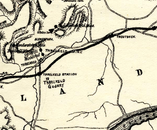 PST2NY32.jpg "THRELKELD STATION" station on railway item:- JandMN : 162.2 Image © see bottom of page |
|
|
|
||
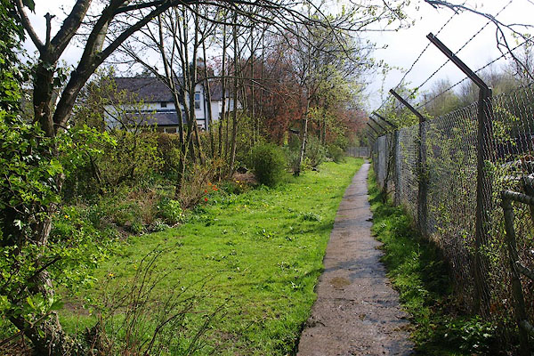 BPC69.jpg View E. (taken 2.5.2008) |
||
|
|
||
 Lakes Guides menu.