 Old Cumbria Gazetteer
 |
 |
|
| Tongue, Troutbeck | ||
| site name:- | Troutbeck Park | |
| locality:- | Troutbeck | |
| civil parish:- | Lakes (formerly Westmorland) | |
| county:- | Cumbria | |
| locality type:- | hill | |
| coordinates:- | NY42250647 (etc) | |
| 1Km square:- | NY4206 | |
| 10Km square:- | NY40 | |
| altitude:- | 1191 feet | |
| altitude:- | 363m | |
|
|
||
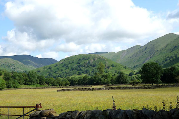
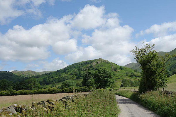 CDO27.jpg (taken 9.7.2015) 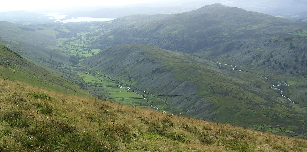 Click to enlarge BRK24.jpg (taken 9.9.2009) |
||
|
|
||
| evidence:- | old map:- OS County Series (Wmd 26 4) placename:- Tongue, The |
|
| source data:- | Maps, County Series maps of Great Britain, scales 6 and 25
inches to 1 mile, published by the Ordnance Survey, Southampton,
Hampshire, from about 1863 to 1948. |
|
|
|
||
| evidence:- | old text:- Martineau 1855 placename:- Tongue, The |
|
| source data:- | Guide book, A Complete Guide to the English Lakes, by Harriet
Martineau, published by John Garnett, Windermere, Westmorland,
and by Whittaker and Co, London, 1855; published 1855-76. goto source goto sourcePage 35:- "... before him, Troutbeck Tongue" goto sourcePage 36:- "protrudes, splitting the valley into two, and being itself most lovely with its farmstead, and dropped thorns, and coppice and grey rocks: while, behind and above it, the vale head rises into grandeur, with its torrents leaping down, and its pathway winding up, indicating the pass into Mardale. The stranger is not going that way, however. He turns over a gentler pass to the left, which leads him, on the slope of Wansfell, away from Troutbeck. As he bids farewell to the Tongue, he sees the summit of Kirkstone before him. ..." |
|
|
|
||
 CDO28.jpg (taken 9.7.2015) 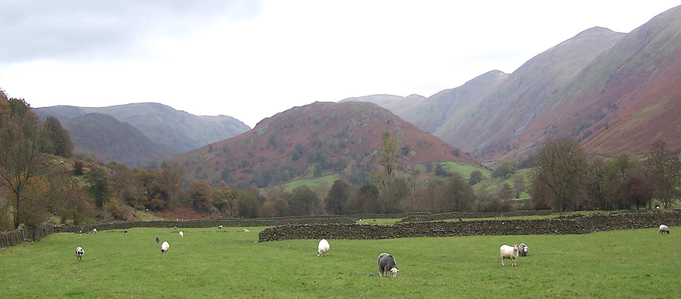 Click to enlarge BMY37.jpg (taken 5.11.2006) 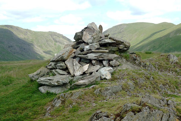 CDO43.jpg Cairn, (taken 9.7.2015) |
||
|
|
||
Lakes Guides menu.