 Old Cumbria Gazetteer
 |
 |
|
| Topthorn, Whinfell | ||
| Topthorn | ||
| civil parish:- | Whinfell (formerly Westmorland) | |
| county:- | Cumbria | |
| locality type:- | buildings | |
| coordinates:- | SD55709855 | |
| 1Km square:- | SD5598 | |
| 10Km square:- | SD59 | |
|
|
||
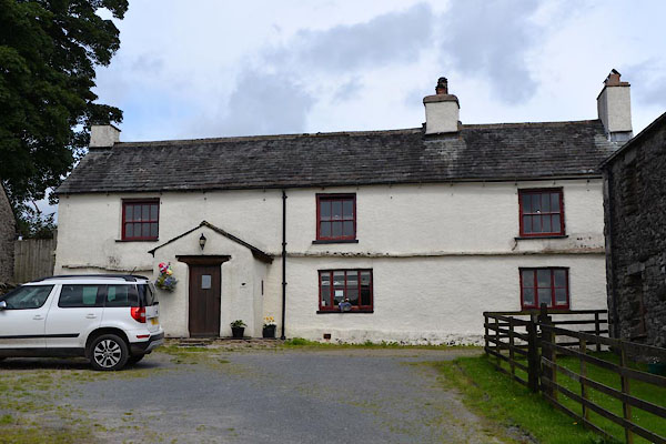 CGI65.jpg (taken 10.8.2017) |
||
|
|
||
| evidence:- | old map:- OS County Series (Wmd 34 6) placename:- Topthorn |
|
| source data:- | Maps, County Series maps of Great Britain, scales 6 and 25
inches to 1 mile, published by the Ordnance Survey, Southampton,
Hampshire, from about 1863 to 1948. |
|
|
|
||
| evidence:- | hearth tax returns:- Hearth Tax 1675 placename:- Topthorn |
|
| source data:- | Records, hearth tax survey returns, Westmorland, 1674/75. "Topthorn" in "Whinfield Constablewick" |
|
|
|
||
| evidence:- | old map:- Jefferys 1770 (Wmd) placename:- Tod Thorn |
|
| source data:- | Map, 4 sheets, The County of Westmoreland, scale 1 inch to 1
mile, surveyed 1768, and engraved and published by Thomas
Jefferys, London, 1770.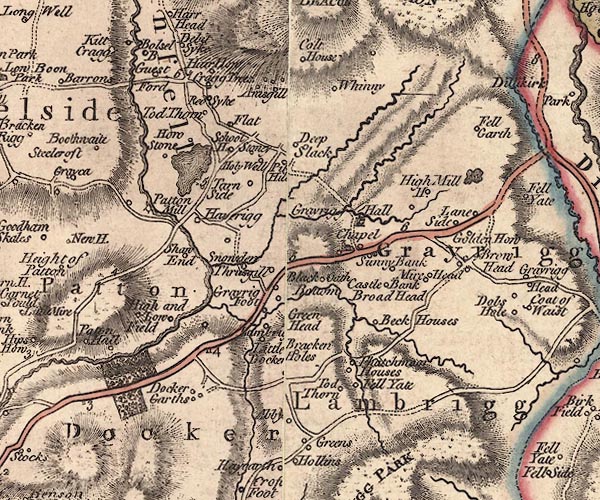 J5SD59NE.jpg "Tod Thorn" circle, labelled in italic lowercase text; settlement, farm, house, or hamlet? item:- National Library of Scotland : EME.s.47 Image © National Library of Scotland |
|
|
|
||
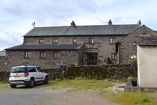
| evidence:- | database:- Listed Buildings 2010 placename:- Topthorne Farm |
|
| source data:- | courtesy of English Heritage "TOPTHORNE FARMHOUSE / / / WHINFELL / SOUTH LAKELAND / CUMBRIA / II / 75754 / SD5570298550" |
|
|
|
||
| evidence:- | database:- Listed Buildings 2010 |
|
| source data:- | courtesy of English Heritage "BARN TO SOUTH WEST OF TOPTHORNE FARMHOUSE / / / WHINFELL / SOUTH LAKELAND / CUMBRIA / II / 435953 / SD5572098538" |
|
|
|
||
| evidence:- | database:- Listed Buildings 2010 |
|
| source data:- | courtesy of English Heritage "BARN TO SOUTH EAST OF TOPTHORNE FARMHOUSE / / / WHINFELL / SOUTH LAKELAND / CUMBRIA / II / 75755 / SD5568498523" |
|
|
|
||
 CGI66.jpg Barn to SW. (taken 10.8.2017) 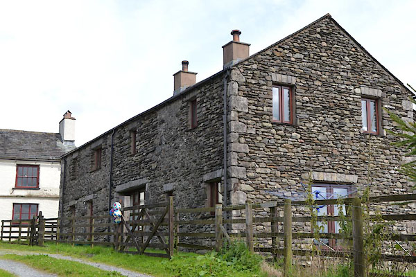 CGI67.jpg Barn to SE. (taken 10.8.2017) |
||
|
|
||
 Lakes Guides menu.