Old Cumbria Gazetteer
 |
 |
|
||
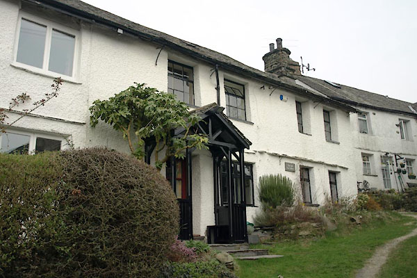
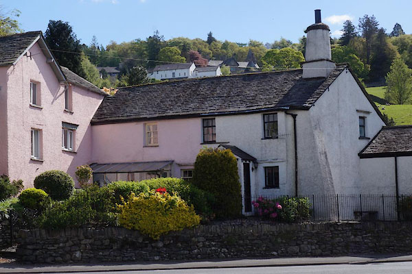
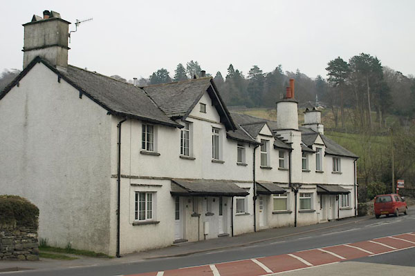
| Troutbeck Bridge, Windermere | ||||
| Troutbeck Bridge | ||||
| civil parish:- | Windermere (formerly Westmorland) | |||
| county:- | Cumbria | |||
| locality type:- | locality | |||
| locality type:- | buildings | |||
| coordinates:- | NY40380022 (etc) | |||
| 1Km square:- | NY4000 | |||
| 10Km square:- | NY40 | |||
|
|
||||
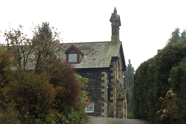
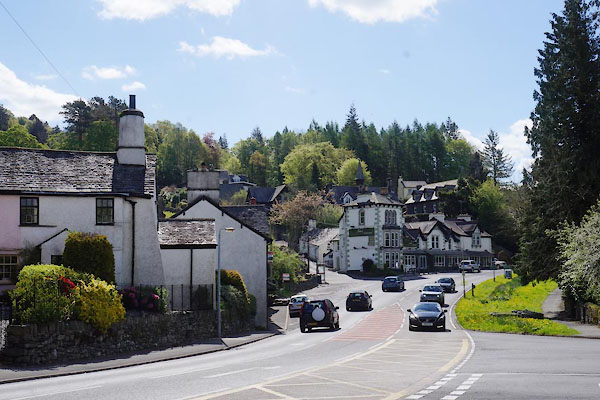 CAM72.jpg (taken 2.5.2014) |
||||
|
|
||||
| evidence:- | old map:- OS County Series (Wmd 32 3) placename:- Troutbeck Bridge |
|||
| source data:- | Maps, County Series maps of Great Britain, scales 6 and 25
inches to 1 mile, published by the Ordnance Survey, Southampton,
Hampshire, from about 1863 to 1948. |
|||
|
|
||||
| evidence:- | old map:- Bowen 1720 (plate 260) |
|||
| source data:- | Road strip map, uncoloured engraving, pl.260, The Road from
Kendal to Cockermouth, scale about 2 miles to 1 inch, with
sections in Westmorland and Cumberland, published by Emanuel
Bowen, St Katherines, London, 1720.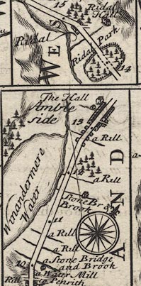 B260m10.jpg "a Stone Bridge and Brook" At 10 miles. item:- private collection : 1.260 Image © see bottom of page |
|||
|
|
||||
| evidence:- | old map:- Bowen and Kitchin 1760 placename:- Troutbeck |
|||
| source data:- | Map, hand coloured engraving, A New Map of the Counties of
Cumberland and Westmoreland Divided into their Respective Wards,
scale about 4 miles to 1 inch, by Emanuel Bowen and Thomas
Kitchin et al, published by T Bowles, Robert Sayer, and John
Bowles, London, 1760.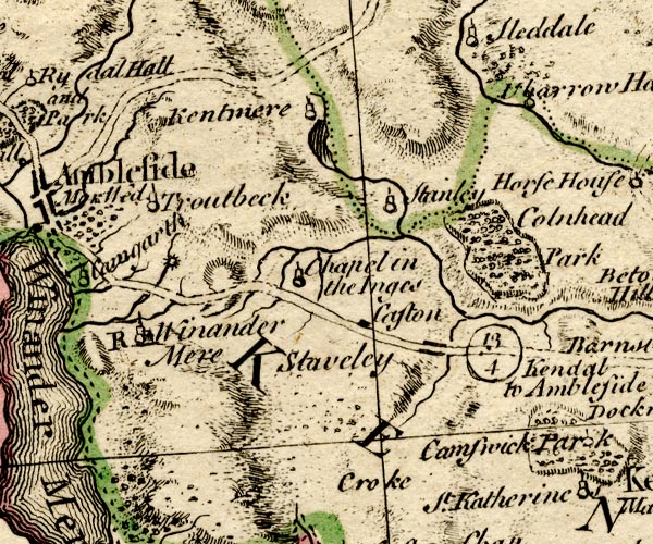 BO18SD39.jpg "Troutbeck" circle, tower item:- Armitt Library : 2008.14.10 Image © see bottom of page |
|||
|
|
||||
| evidence:- | old map:- Crosthwaite 1783-94 (Win/Ble) placename:- Troutbeck Bridge |
|||
| source data:- | Map, uncoloured engraving, An Accurate Map of the Grand Lake of
Windermere, scale about 2 inches to 1 mile, by Peter
Crosthwaite, Keswick, Cumberland, 1783, version published 1819. CT9SD49E.jpg "Troutbeck Bridge" blocks, buildings item:- Armitt Library : 2008.14.102 Image © see bottom of page |
|||
|
|
||||
| evidence:- | old map:- Clarke 1787 map (Windermere N) |
|||
| source data:- | Map, A Map of the Northern Part of the Lake Winandermere and its
Environs, scale about 6.5 ins to 1 mile, by James Clarke,
engraved by Samuel John Neele, 352 Strand, published by James
Clarke, Penrith, Cumberland and in London etc, 1787. CLANY40A.jpg item:- private collection : 10.10 Image © see bottom of page |
|||
|
|
||||
| evidence:- | old map:- Laurie and Whittle 1806 placename:- Trout Beck Bridge |
|||
| source data:- | Road map, Completion of the Roads to the Lakes, scale about 10
miles to 1 inch, by Nathaniel Coltman? 1806, published by Robert
H Laurie, 53 Fleet Street, London, 1834. click to enlarge click to enlargeLw18.jpg "Trout Beck Bridge 274½" village or other place; distance from London item:- private collection : 18.18 Image © see bottom of page |
|||
|
|
||||
| evidence:- | old map:- Wallis 1810 (Wmd) placename:- Trout Beck Bridge |
|||
| source data:- | Road map, Westmoreland, scale about 19 miles to 1 inch, by James
Wallis, 77 Berwick Street, Soho, 1810, published by W Lewis,
Finch Lane, London, 1835? click to enlarge click to enlargeWAL5.jpg "Trout Beck Br." village, hamlet, house, ... item:- JandMN : 63 Image © see bottom of page |
|||
|
|
||||
| evidence:- | old map:- Prior 1874 map 1 placename:- Troutbeck Bridge |
|||
| source data:- | Map, uncoloured engraving or lithograph? Winander Mere, scale
about 2.5 miles to 1 inch, published by John Garnett,
Windermere, Westmorland, 1874.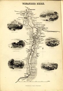 click to enlarge click to enlargePI03M1.jpg "Troutbeck Bridge" block/s; building/s item:- private collection : 133.1 Image © see bottom of page |
|||
|
|
||||
| evidence:- | old itinerary:- Tinsley 1877 (Roads/Cum) placename:- Trout Beck Bridge |
|||
| source data:- | Itinerary, route 7, London to Whitehaven via the Lake Districts, including from Settle,
Lancashire; through Kirkby Lonsdale, Kendal, Ambleside, Westmorland; then Keswick,
Cockermouth to Whitehaven, Cumberland, published by Tinsley Bros, 8 Catherine Street,
Strand, London, 1877.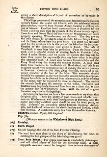 click to enlarge click to enlargeTLY186.jpg 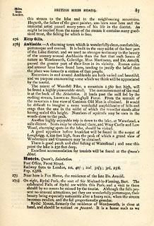 click to enlarge click to enlargeTLY187.jpg item:- private collection : 270.2 Image © see bottom of page |
|||
|
|
||||
| places:- |
|
|||
|
||||
|
||||
|
||||
|
||||
|
||||
|
||||
|
||||
|
||||
|
||||
|
||||
|
||||
|
||||
|
||||
|
||||
|
||||
|
||||
|
||||
|
||||
|
||||
|
||||
|
||||
|
||||
|
||||
|
||||
|
||||
|
||||
 Lakes Guides menu.