 Old Cumbria Gazetteer
 |
 |
|
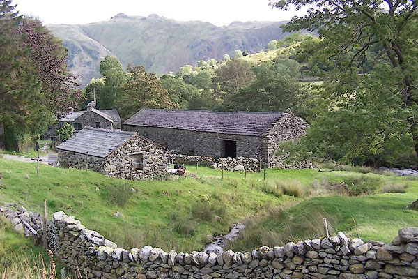
| Wall End, Patterdale | ||
| Wall End | ||
| locality:- | Deepdale | |
| civil parish:- | Patterdale (formerly Westmorland) | |
| county:- | Cumbria | |
| locality type:- | buildings | |
| coordinates:- | NY39241368 | |
| 1Km square:- | NY3913 | |
| 10Km square:- | NY31 | |
|
|
||
 BXI75.jpg (taken 18.9.2012) 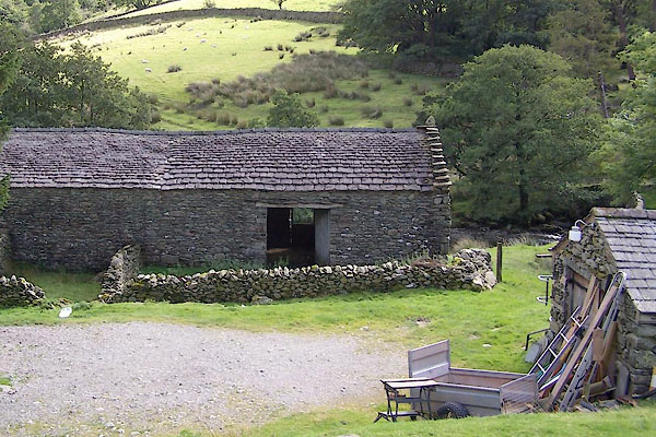 BXI76.jpg (taken 18.9.2012) |
||
|
|
||
| evidence:- | old map:- OS County Series (Wmd 19 3) placename:- Wallend |
|
| source data:- | Maps, County Series maps of Great Britain, scales 6 and 25
inches to 1 mile, published by the Ordnance Survey, Southampton,
Hampshire, from about 1863 to 1948. |
|
|
|
||
| evidence:- | database:- Listed Buildings 2010 placename:- Wall End Farm |
|
| source data:- | courtesy of English Heritage "WALL END FARMHOUSE WITH ATTACHED BARN / / / PATTERDALE / EDEN / CUMBRIA / II / 452381 / NY3926213690" |
|
|
|
||
 Lakes Guides menu.