 Old Cumbria Gazetteer
 |
 |
|
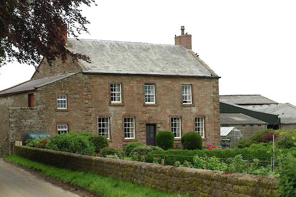
| Walton High Rigg, Walton | ||
| Walton High Rigg | ||
| civil parish:- | Walton (formerly Cumberland) | |
| county:- | Cumbria | |
| locality type:- | buildings | |
| coordinates:- | NY52696565 | |
| 1Km square:- | NY5265 | |
| 10Km square:- | NY56 | |
|
|
||
 BWP91.jpg (taken 1.6.2012) |
||
|
|
||
| evidence:- | old map:- OS County Series (Cmd 12 9) placename:- Walton High Rigg |
|
| source data:- | Maps, County Series maps of Great Britain, scales 6 and 25
inches to 1 mile, published by the Ordnance Survey, Southampton,
Hampshire, from about 1863 to 1948. |
|
|
|
||
| evidence:- | database:- Listed Buildings 2010 placename:- Walton High Rigg |
|
| source data:- | courtesy of English Heritage "WALTON HIGH RIGG / / / WALTON / CARLISLE / CUMBRIA / II / 77973 / NY5269165650" |
|
|
|
||
 Lakes Guides menu.