Old Cumbria Gazetteer
 |
 |
|
||
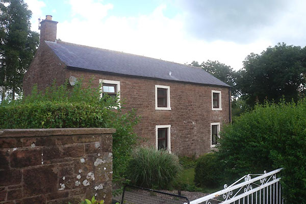
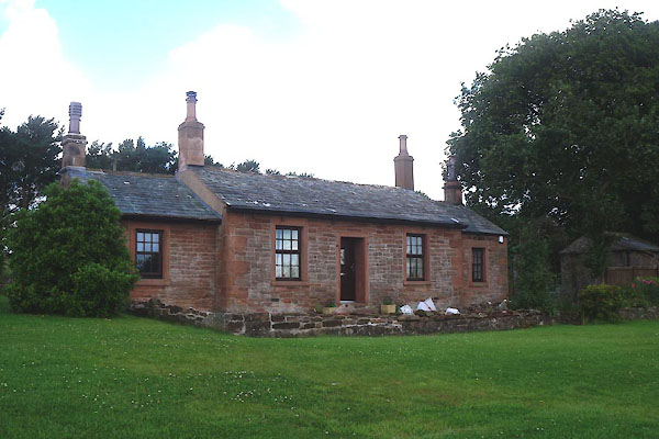
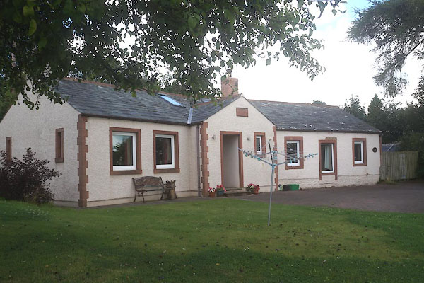
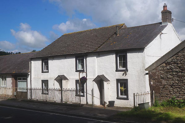
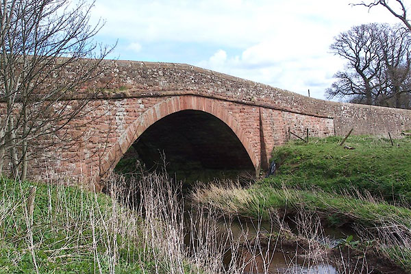
| Waverbridge, Dundraw | ||||
| Waverbridge | ||||
| civil parish:- | Dundraw (formerly Cumberland) | |||
| civil parish:- | Waverton (formerly Cumberland) | |||
| civil parish:- | Dundraw (formerly Cumberland) | |||
| county:- | Cumbria | |||
| locality type:- | locality | |||
| locality type:- | buildings | |||
| coordinates:- | NY22334908 (etc) | |||
| 1Km square:- | NY2249 | |||
| 10Km square:- | NY24 | |||
|
|
||||
| evidence:- | old map:- Donald 1774 (Cmd) placename:- Ware Bridge |
|||
| source data:- | Map, hand coloured engraving, 3x2 sheets, The County of Cumberland, scale about 1
inch to 1 mile, by Thomas Donald, engraved and published by Joseph Hodskinson, 29
Arundel Street, Strand, London, 1774.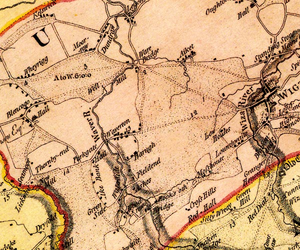 D4NY24NW.jpg "Ware Bridge" block or blocks, labelled in lowercase; a hamlet or just a house item:- Carlisle Library : Map 2 Image © Carlisle Library |
|||
|
|
||||
| evidence:- | old map:- Laurie and Whittle 1806 placename:- Ware Bridge |
|||
| source data:- | Road map, Completion of the Roads to the Lakes, scale about 10
miles to 1 inch, by Nathaniel Coltman? 1806, published by Robert
H Laurie, 53 Fleet Street, London, 1834. click to enlarge click to enlargeLw18.jpg "Ware Bridge 306½" bridge; distance from London item:- private collection : 18.18 Image © see bottom of page |
|||
|
|
||||
| places:- |
|
|||
|
||||
|
||||
|
||||
|
||||
|
||||
|
||||
|
||||
 Lakes Guides menu.