 Old Cumbria Gazetteer
 |
 |
|
| Wha House Farm, Eskdale | ||
| Wha House Farm | ||
| locality:- | Eskdale | |
| civil parish:- | Eskdale (formerly Cumberland) | |
| county:- | Cumbria | |
| locality type:- | buildings | |
| coordinates:- | NY20030083 | |
| 1Km square:- | NY2000 | |
| 10Km square:- | NY20 | |
|
|
||
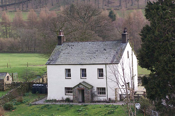 BNJ54.jpg (taken 14.3.2007) 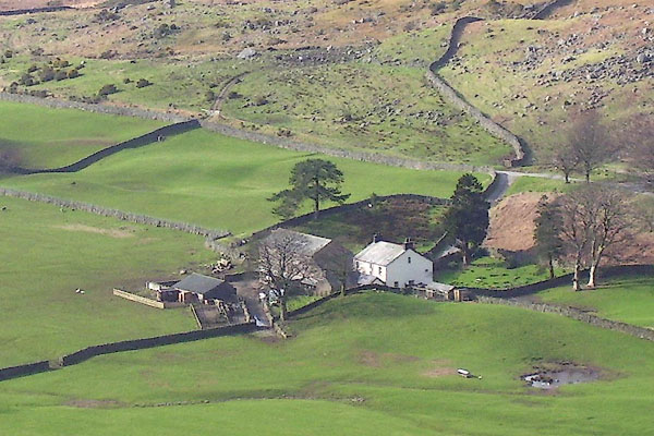 BNJ78.jpg (taken 14.3.2007) |
||
|
|
||
| evidence:- | old map:- OS County Series (Cmd 79 15) placename:- High Wha House placename:- Wha House, High |
|
| source data:- | Maps, County Series maps of Great Britain, scales 6 and 25
inches to 1 mile, published by the Ordnance Survey, Southampton,
Hampshire, from about 1863 to 1948. |
|
|
|
||
 Lakes Guides menu.