 Old Cumbria Gazetteer
 |
 |
|
| Yewdale Fells, Coniston | ||
| Yewdale Fells | ||
| civil parish:- | Coniston (formerly Lancashire) | |
| county:- | Cumbria | |
| locality type:- | hill | |
| locality type:- | fell | |
| coordinates:- | SD30469953 (etc) | |
| 1Km square:- | SD3099 | |
| 10Km square:- | SD39 | |
|
|
||
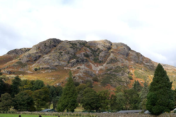 BZL22.jpg (taken 15.10.2103) 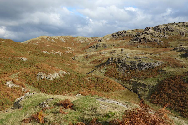 BZN27.jpg (taken 15.10.2103) |
||
|
|
||
| evidence:- | old map:- OS County Series (Lan 1 16) placename:- Yewdale Fell |
|
| source data:- | Maps, County Series maps of Great Britain, scales 6 and 25
inches to 1 mile, published by the Ordnance Survey, Southampton,
Hampshire, from about 1863 to 1948. |
|
|
|
||
| evidence:- | old photograph:- Bell 1880s-1940s |
|
| source data:- | Photograph, black and white, Yewdale Fells and Yewdale, Coniston, Lancashire, by Herbert
Bell, photographer, Ambleside, Westmorland, 1890s.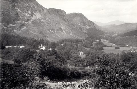 click to enlarge click to enlargeHB0886.jpg item:- Armitt Library : ALPS557 Image © see bottom of page |
|
|
|
||
| evidence:- | old photograph:- Bell 1880s-1940s |
|
| source data:- | Photograph, black and white, Yewdale Fells, Coniston, Lancashire, by Herbert Bell,
Ambleside, Westmorland, 1890s.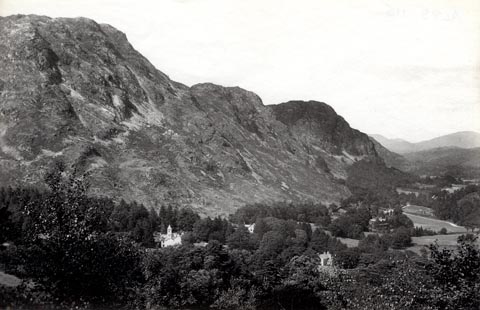 click to enlarge click to enlargeHB0456.jpg stamped at reverse:- "HERBERT BELL / Photographer / AMBLESIDE" item:- Armitt Library : ALPS115 Image © see bottom of page |
|
|
|
||
| hearsay:- |
Referred to as High Topps by Arthur Ransome. |
|
|
|
||
 Lakes Guides menu.