 Old Cumbria Gazetteer
 |
 |
|
| Bretherdale, Orton S | ||
| Bretherdale | ||
| civil parish:- | Orton S (formerly Westmorland) | |
| county:- | Cumbria | |
| locality type:- | valley | |
| locality type:- | locality | |
| coordinates:- | NY57920564 (etc) | |
| 1Km square:- | NY5705 | |
| 10Km square:- | NY50 | |
|
|
||
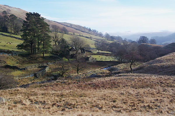
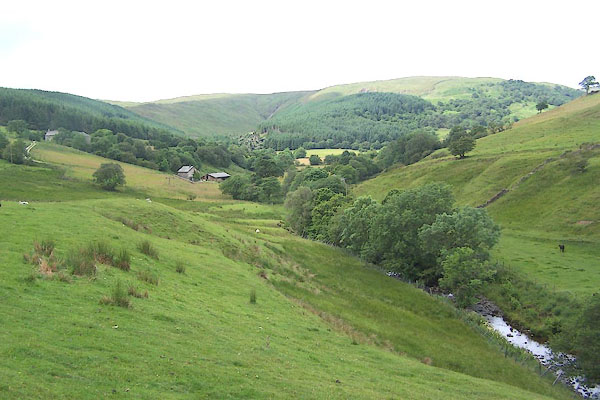 BMH85.jpg (taken 7.7.2006) 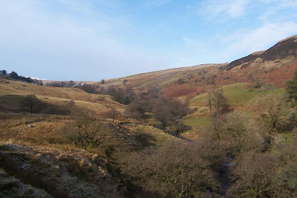 BVV70.jpg (taken 27.1.2012) |
||
|
|
||
| evidence:- | old map:- OS County Series (Wmd 28 6) placename:- Bretherdale |
|
| source data:- | Maps, County Series maps of Great Britain, scales 6 and 25
inches to 1 mile, published by the Ordnance Survey, Southampton,
Hampshire, from about 1863 to 1948. OS County Series (Wmd 28 7) |
|
|
|
||
| evidence:- | hearth tax returns:- Hearth Tax 1675 placename:- Brotherdale |
|
| source data:- | Records, hearth tax survey returns, Westmorland, 1674/75. "Brotherdale" |
|
|
|
||
| evidence:- | hearth tax returns:- Hearth Tax 1670 placename:- Bretherdaill |
|
| source data:- | Records, hearth tax returns, exchequer duplicates, Westmorland,
1670. "Bretherdaill" |
|
|
|
||
| evidence:- | old map:- Garnett 1850s-60s H placename:- Bretherdale |
|
| source data:- | Map of the English Lakes, in Cumberland, Westmorland and
Lancashire, scale about 3.5 miles to 1 inch, published by John
Garnett, Windermere, Westmorland, 1850s-60s.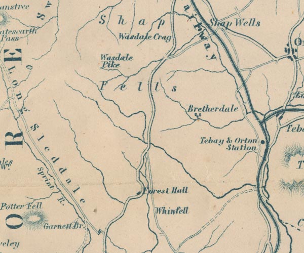 GAR2NY50.jpg "Bretherdale" blocks, settlement item:- JandMN : 82.1 Image © see bottom of page |
|
|
|
||
 BVV63.jpg (taken 27.1.2012) 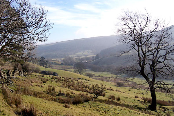 BVV82.jpg (taken 27.1.2012) 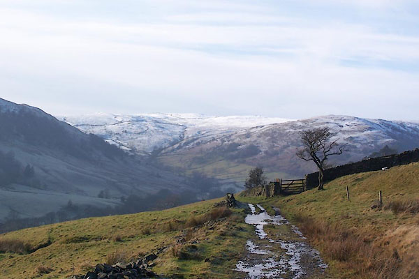 BVV87.jpg (taken 27.1.2012) |
||
|
|
||
 Lakes Guides menu.