 Old Cumbria Gazetteer
 |
 |
|
||
| Castle Beck | ||||
| runs into:- |  Irthing, River Irthing, River |
|||
|
|
||||
| civil parish:- | Nether Denton (formerly Cumberland) | |||
| civil parish:- | Brampton (formerly Cumberland) | |||
| county:- | Cumbria | |||
| locality type:- | river | |||
| locality type:- | boundary | |||
| locality type:- | parish boundary | |||
| 1Km square:- | NY5662 (etc) | |||
| 10Km square:- | NY56 | |||
|
|
||||
| evidence:- | old map:- OS County Series (Cmd 18 2) placename:- Castle Beck |
|||
| source data:- | Maps, County Series maps of Great Britain, scales 6 and 25
inches to 1 mile, published by the Ordnance Survey, Southampton,
Hampshire, from about 1863 to 1948. |
|||
|
|
||||
| evidence:- | old map:- Ogilby 1675 (plate 86) |
|||
| source data:- | Road strip map, uncoloured engraving, the Road from Tinmouth ...
to Carlisle, scale about 1 inch to 1 mile, by John Ogilby,
London, 1675.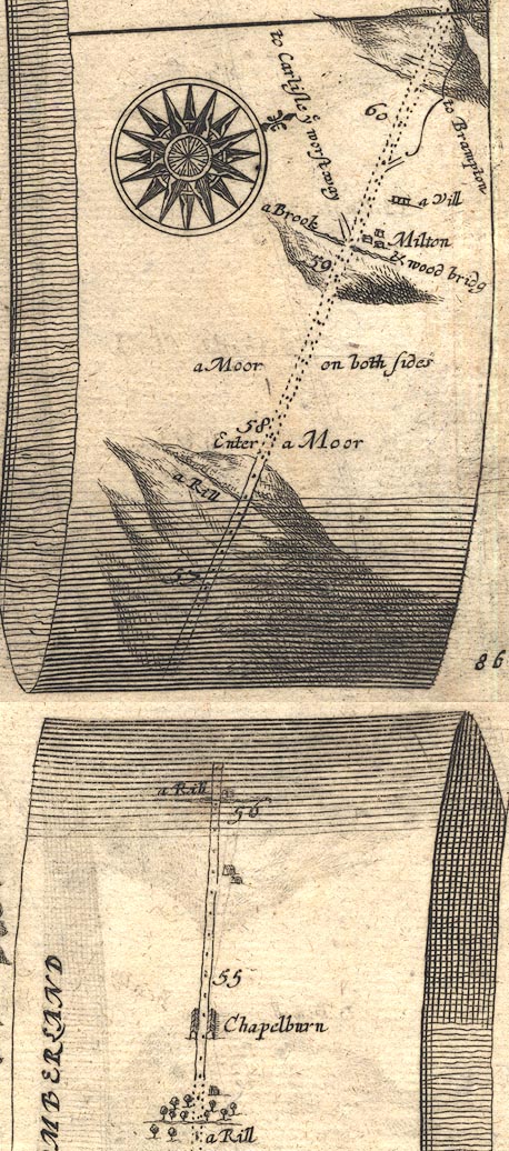 OG86m055.jpg In mile 57, Cumberland. "a Rill" crossing under the road. item:- JandMN : 73 Image © see bottom of page |
|||
|
|
||||
| evidence:- | perhaps old map:- Bowen and Kitchin 1760 |
|||
| source data:- | Map, hand coloured engraving, A New Map of the Counties of
Cumberland and Westmoreland Divided into their Respective Wards,
scale about 4 miles to 1 inch, by Emanuel Bowen and Thomas
Kitchin et al, published by T Bowles, Robert Sayer, and John
Bowles, London, 1760.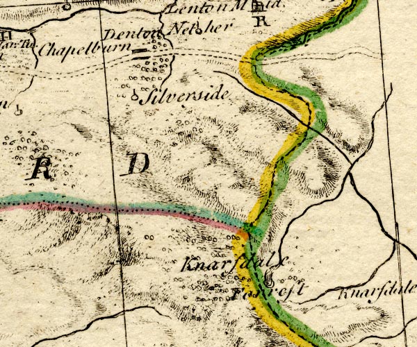 BO18NY65.jpg wiggly line, into the Irthing item:- Armitt Library : 2008.14.10 Image © see bottom of page |
|||
|
|
||||
| places:- |
|
|||
|
||||
|
||||
Lakes Guides menu.