 Old Cumbria Gazetteer
 |
 |
|
| included in:- |
 track, Sadgill to Gatescarth track, Sadgill to Gatescarth |
|
| track, Sadgill to Wrengill: walk 1, 8.10.2006 | ||
| Sadgill to Wrengill | ||
| civil parish:- | Longsleddale (formerly Westmorland) | |
| county:- | Cumbria | |
| locality type:- | track route | |
| coordinates:- | NY48050723 (etc) | |
| 1Km square:- | NY4807 | |
| 10Km square:- | NY40 | |
|
|
||
| MN photo:- |
Walk up Longsleddale, from Sadgill to Wrengill, 8 October 2006. |
|
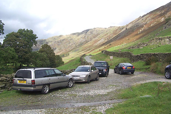 BMT47.jpg Informal parking at Sadgill; silly grockle car on middle right is blocking the road, which can really annoy the farmers. (taken 8.10.2006) 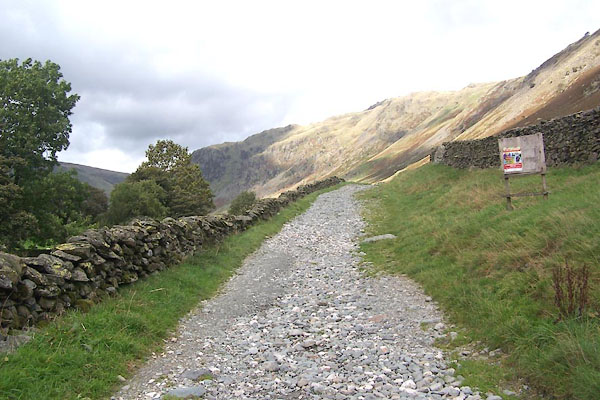 BMT48.jpg Kendal Mountain Rescue Service have an informative notice on the board. (taken 8.10.2006) 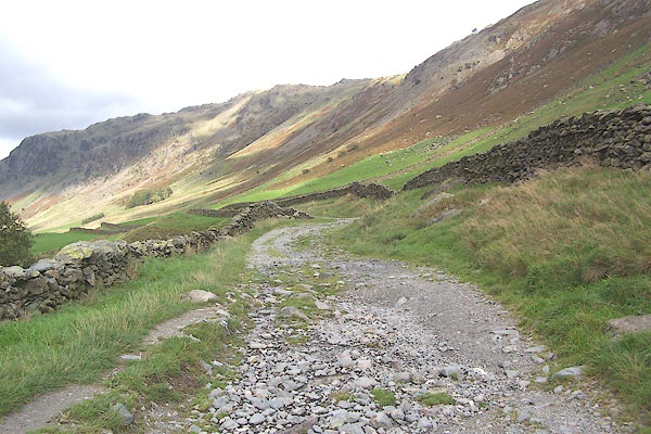 BMT49.jpg Galeforth scar is on the right of the track. (taken 8.10.2006) 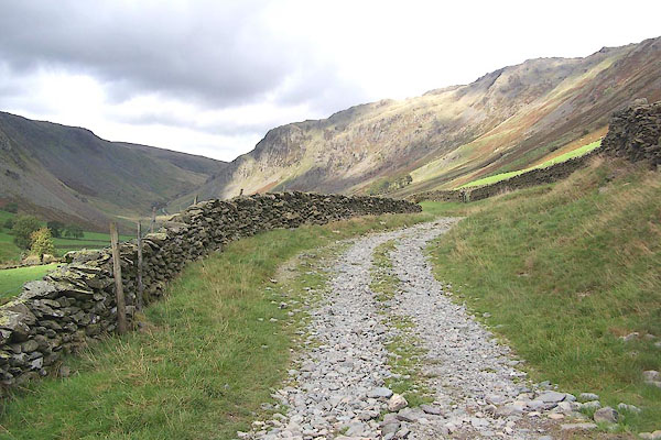 BMT50.jpg (taken 8.10.2006) 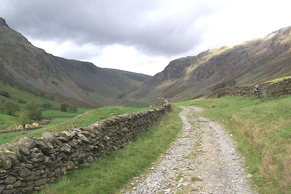 BMT51.jpg The first hump is probably the remnant of a rock barrier above which there was a small glacial lake? (taken 8.10.2006) 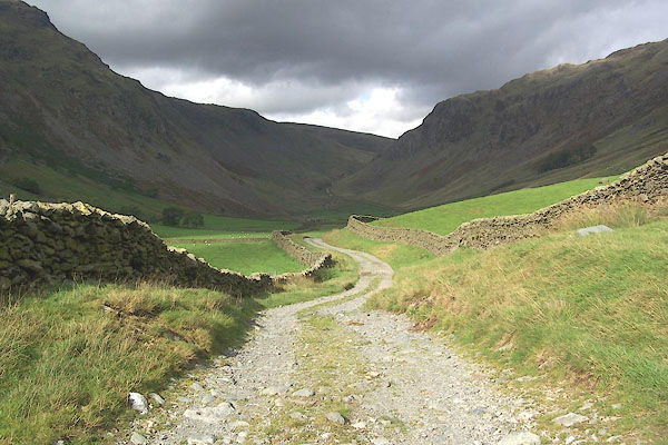 BMT52.jpg Goatscar and Raven Crags on the left; Buckbarrow on the right. (taken 8.10.2006) 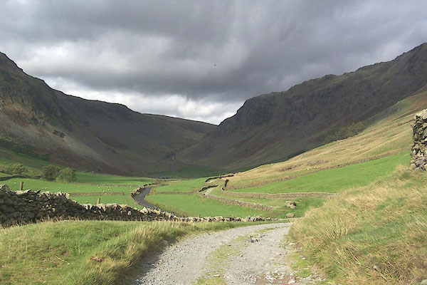 BMT53.jpg The track is roughly level for a couple of miles. (taken 8.10.2006) 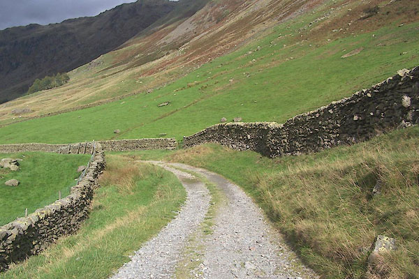 BMT54.jpg (taken 8.10.2006) 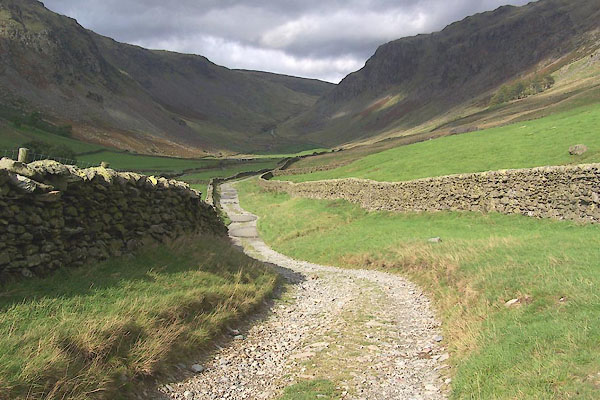 BMT55.jpg The weather is cloudy with bright patches, the wind is a strong westerly, from which the valley is sheltered, but the sky racing by. (taken 8.10.2006) 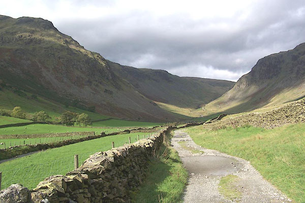 BMT56.jpg Goatscar on the left. (taken 8.10.2006) 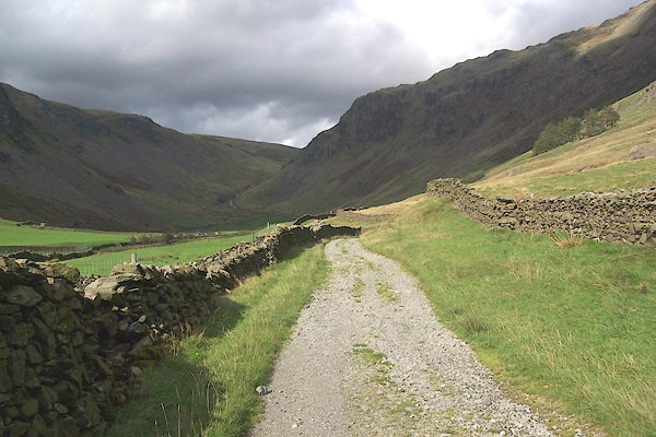 BMT57.jpg (taken 8.10.2006) 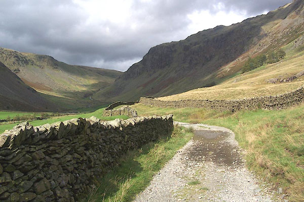 BMT58.jpg (taken 8.10.2006) 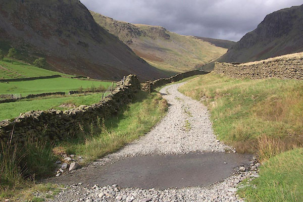 BMT59.jpg A rill crossing the road; this might be a problem after more rain. (taken 8.10.2006) 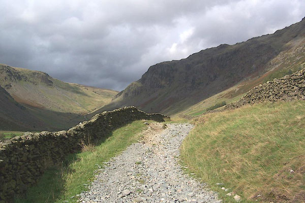 BMT60.jpg (taken 8.10.2006) 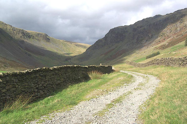 BMT61.jpg (taken 8.10.2006) 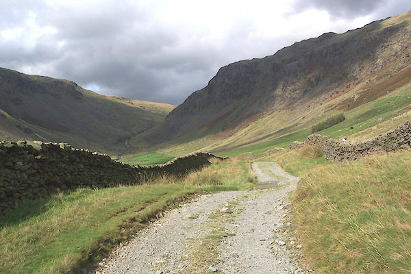 BMT62.jpg (taken 8.10.2006) 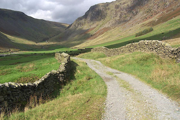 BMT63.jpg (taken 8.10.2006) 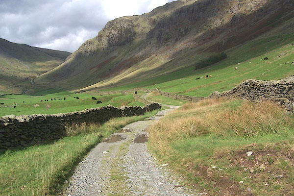 BMT64.jpg Buckbarrow ahead. (taken 8.10.2006) 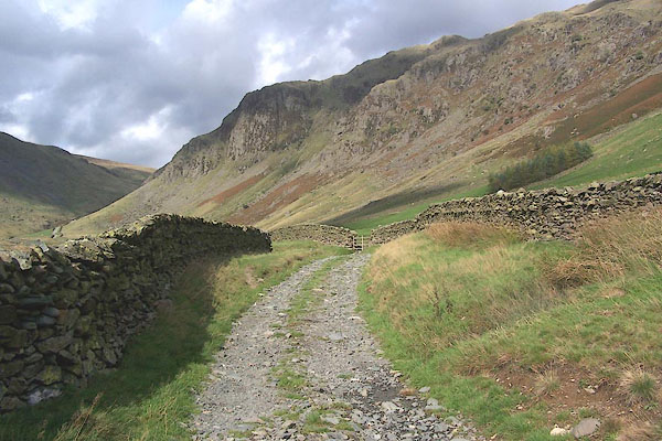 BMT65.jpg (taken 8.10.2006) 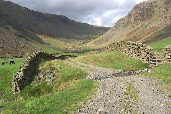 BMT66.jpg Another rill; the track bed across the rill is laid with stones to make a more passable ford. (taken 8.10.2006) 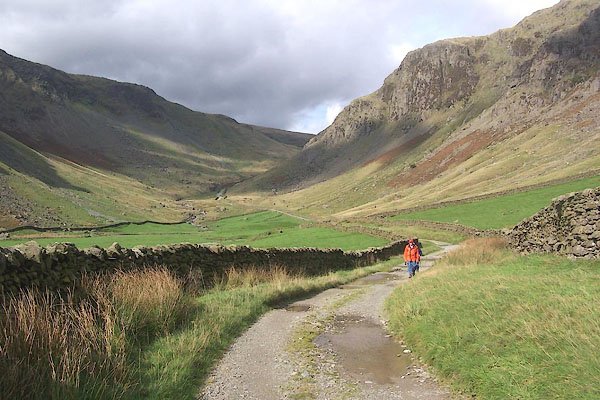 BMT67.jpg (taken 8.10.2006) 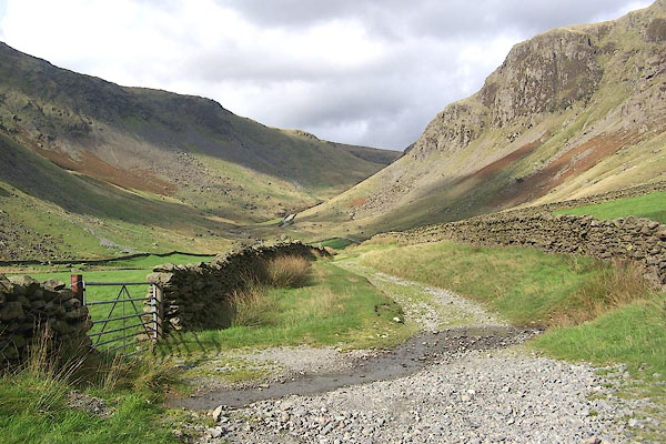 BMT68.jpg Another rill and ?ford. (taken 8.10.2006) 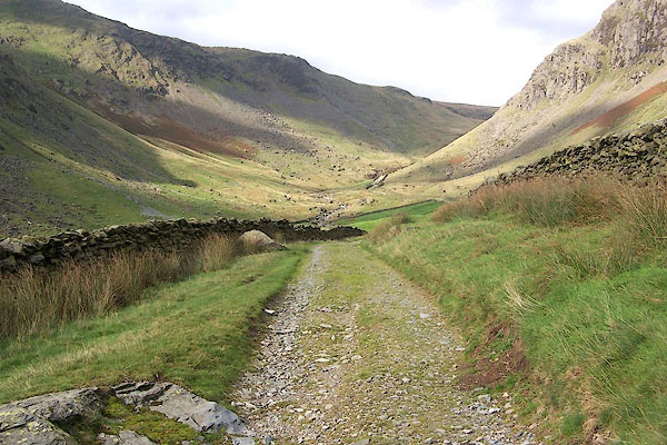 BMT69.jpg The edge beyond Goatscar is Raven Crags; the small eminence is Steel Pike. (taken 8.10.2006) 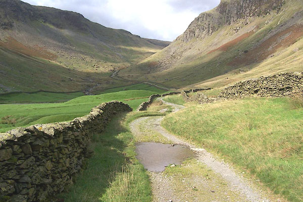 BMT70.jpg (taken 8.10.2006) 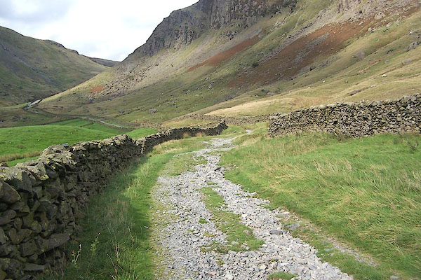 BMT71.jpg (taken 8.10.2006) 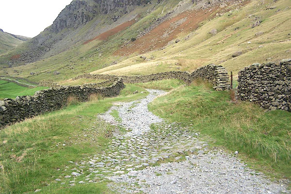 BMT72.jpg Another rill crossing by a built up ford, dried up (today, it won't last) so you can see the stones. (taken 8.10.2006) 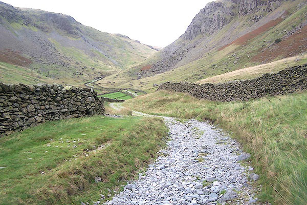 BMT73.jpg (taken 8.10.2006) 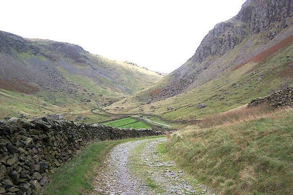 BMT74.jpg (taken 8.10.2006) 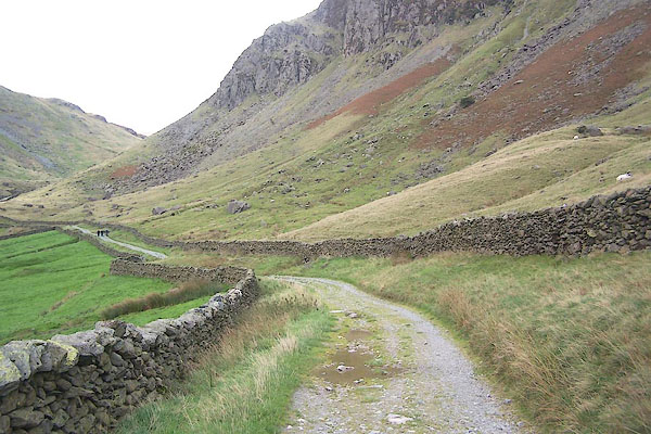 BMT75.jpg (taken 8.10.2006) 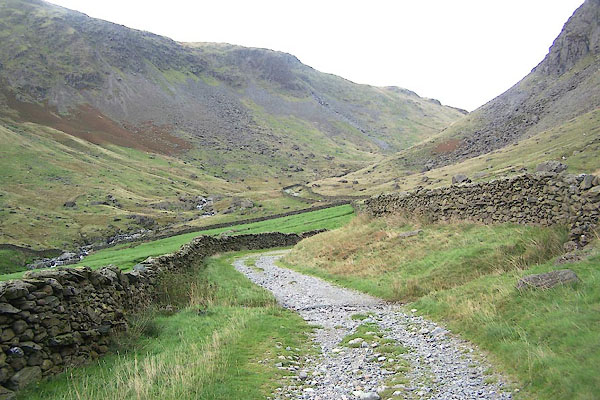 BMT76.jpg (taken 8.10.2006) 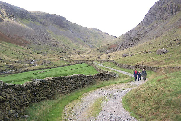 BMT77.jpg The track begins to rise in the distance, alongside waterfalls on the River Sprint. (taken 8.10.2006) 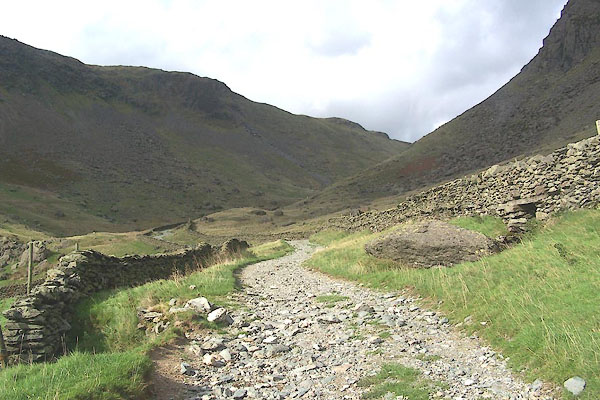 BMT78.jpg Start to ascend the dale head. (taken 8.10.2006) 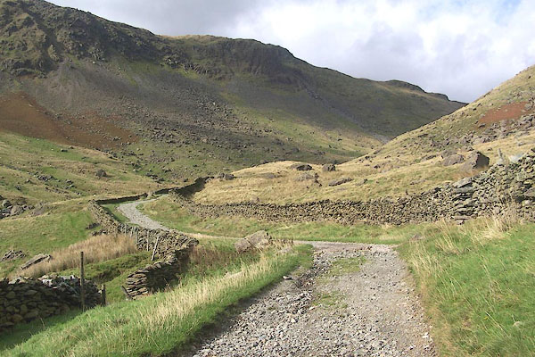 BMT79.jpg (taken 8.10.2006) 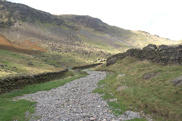 BMT80.jpg (taken 8.10.2006) 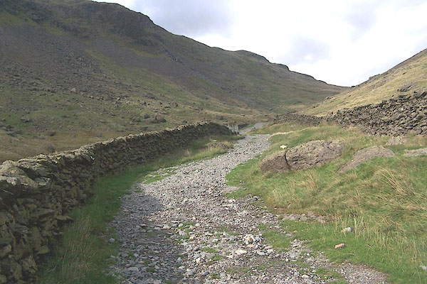 BMT81.jpg (taken 8.10.2006) 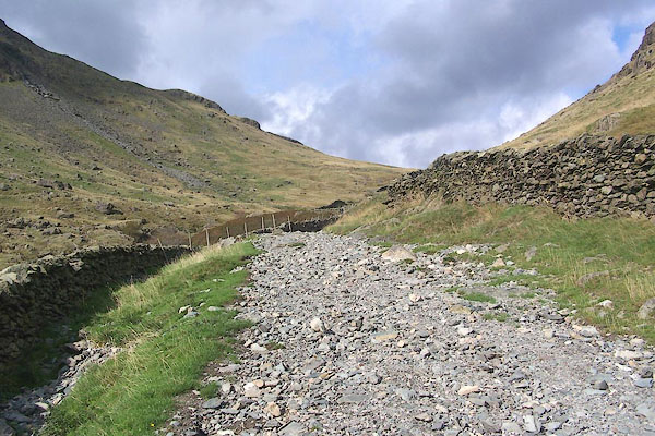 BMT82.jpg And now definitely going up. On this section the River Sprint is a constant noise on the left of the wall. (taken 8.10.2006) 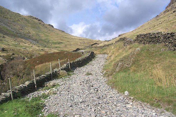 BMT83.jpg (taken 8.10.2006) 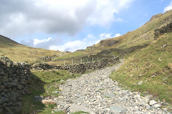 BMT84.jpg (taken 8.10.2006) 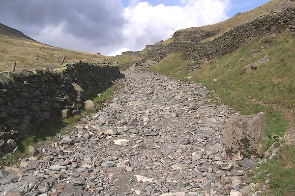 BMT85.jpg The track bed is a geologist's delight. The surrounding rock is tuffs in the Borrowdale Volcanic Series. Look out for turbidite flows with graded bedding in some rocks; ignibrites from pyroclastic flows in others. (taken 8.10.2006) 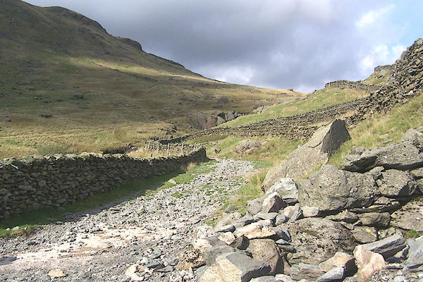 BMT86.jpg (taken 8.10.2006) 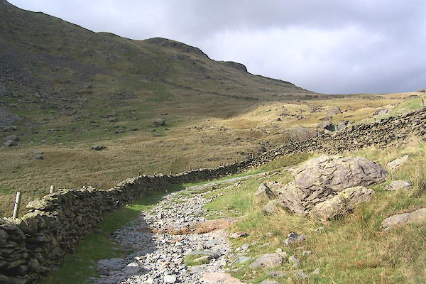 BMT87.jpg (taken 8.10.2006) 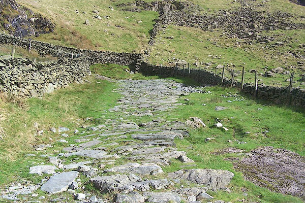 BMT88.jpg First zig of a zigzag of !properly laid road up a steep bit of track. These bends are known as the Blackknot Turns. (taken 8.10.2006) 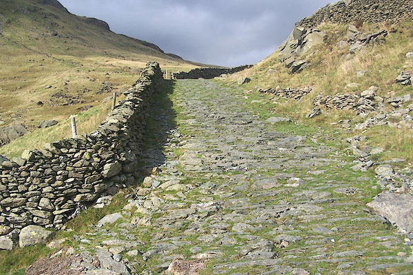 BMT89.jpg 2nd zag. (taken 8.10.2006) 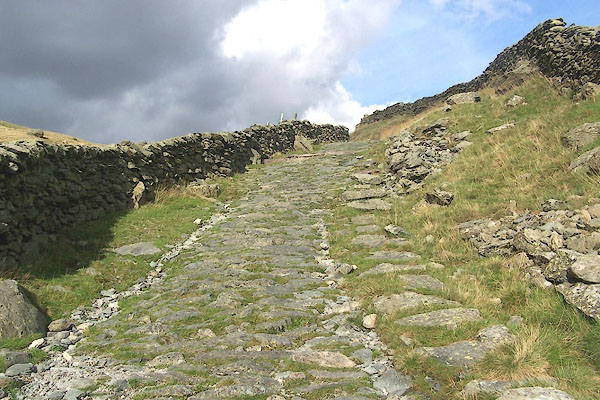 BMT90.jpg 3rd zag. (taken 8.10.2006) 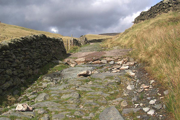 BMT91.jpg Some repairs have been done in concrete, which lasts so long then breaks down into a very bad surface. And it's ugly; not a good material for countryside conservation. (taken 8.10.2006) 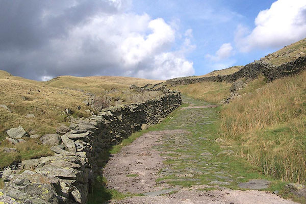 BMT92.jpg (taken 8.10.2006) 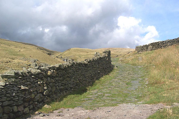 BMT93.jpg The climb begins to slacken; over the wall on the left are waterfalls on the Sprint. (taken 8.10.2006) 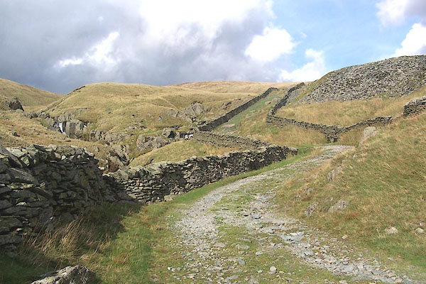 BMT94.jpg (taken 8.10.2006) 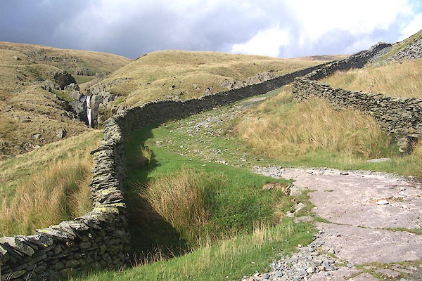 BMT95.jpg One of the waterfalls on the River Sprint. (taken 8.10.2006) 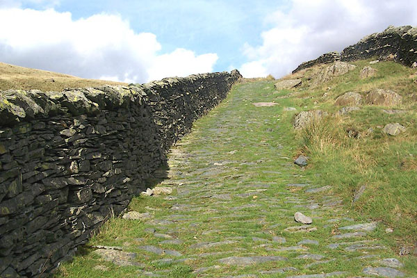 BMT96.jpg Last ascent to the dale head. (taken 8.10.2006) 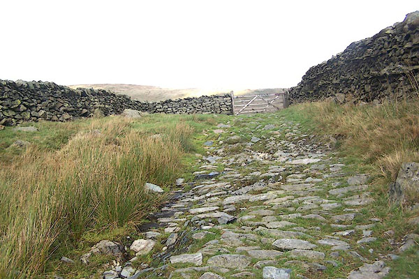 BMT97.jpg Gate at the dale head, onto Brownhowe Bottom. (taken 8.10.2006) |
||
|
|
||
Lakes Guides menu.