 Old Cumbria Gazetteer
 |
 |
|
| Fellfoot Road, Casterton | ||
| Fellfoot Road | ||
| Fellfoot Drove | ||
| civil parish:- | Casterton (formerly Westmorland) | |
| county:- | Cumbria | |
| locality type:- | drove road | |
| locality type:- | track | |
| coordinates:- | SD63728066 (etc) | |
| 1Km square:- | SD6380 | |
| 10Km square:- | SD68 | |
|
|
||
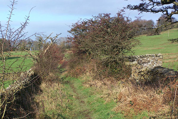 BNB07.jpg (taken 1.12.2006) 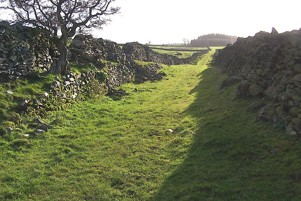 BNB10.jpg (taken 1.12.2006) |
||
|
|
||
| evidence:- | old map:- OS County Series (Wmd 48 1) placename:- Fellfoot Road |
|
| source data:- | Maps, County Series maps of Great Britain, scales 6 and 25
inches to 1 mile, published by the Ordnance Survey, Southampton,
Hampshire, from about 1863 to 1948. |
|
|
|
||
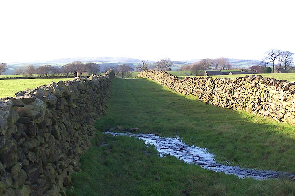 BNB13.jpg Side turning to Bindloss Farm. (taken 1.12.2006) 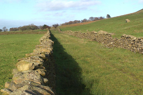 BNB14.jpg (taken 1.12.2006) |
||
|
|
||
 Lakes Guides menu.