 Old Cumbria Gazetteer
 |
 |
|
| Dryhowe Bridge, Whitwell and Selside | ||
| Dryhowe Bridge | ||
| site name:- | Bannisdale Beck | |
| locality:- | Bannisdale | |
| civil parish:- | Whitwell and Selside (formerly Westmorland) | |
| civil parish:- | Fawcett Forest (formerly Westmorland) | |
| county:- | Cumbria | |
| locality type:- | bridge | |
| coordinates:- | NY53070175 | |
| 1Km square:- | NY5301 | |
| 10Km square:- | NY50 | |
|
|
||
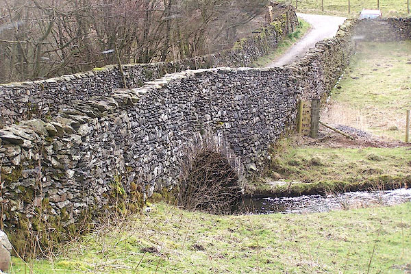 BNK04.jpg (taken 19.3.2007) |
||
|
|
||
| evidence:- | old map:- OS County Series (Wmd 28 13) placename:- Dryhowe Bridge |
|
| source data:- | Maps, County Series maps of Great Britain, scales 6 and 25
inches to 1 mile, published by the Ordnance Survey, Southampton,
Hampshire, from about 1863 to 1948. |
|
|
|
||
 Lakes Guides menu.