 Old Cumbria Gazetteer
 |
 |
|
| High Swinklebank, Longsleddale: hound trailing 2005 | ||
| site name:- | High Swinklebank | |
| civil parish:- | Longsleddale (formerly Westmorland) | |
| county:- | Cumbria | |
| locality type:- | recreation | |
| coordinates:- | NY491047 | |
| 1Km square:- | NY4904 | |
| 10Km square:- | NY40 | |
| SummaryText:- | The base of the event is the patch of land near High Barn, Longsleddale; the hounds run over High Swinklebank and Toms How land. | |
|
|
||
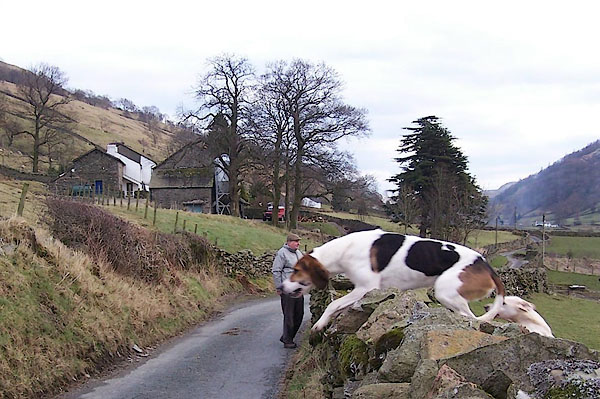 BJI70.jpg Hound trailing. (taken 3.3.2005) 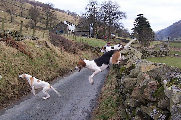 BJI71.jpg Hound trailing. (taken 3.3.2005) 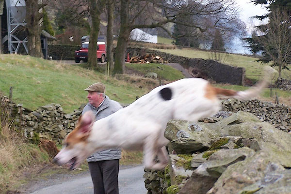 BJI72.jpg Hound trailing. (taken 3.3.2005) 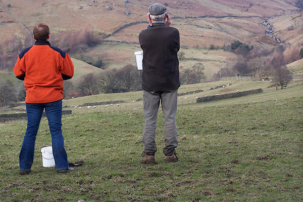 BJI73.jpg Hound trailing. (taken 3.3.2005) 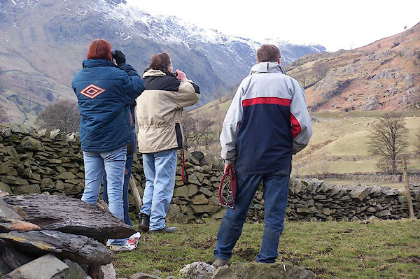 BJI74.jpg Hound trailing. (taken 3.3.2005) 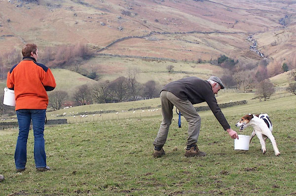 BJI75.jpg Hound trailing. (taken 3.3.2005) 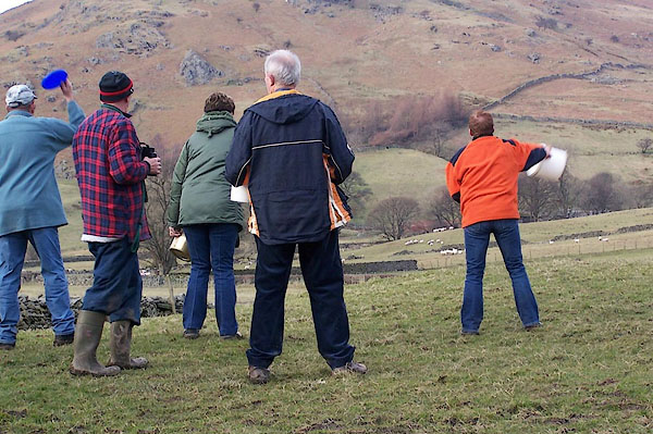 BJI76.jpg Hound trailing. (taken 3.3.2005) 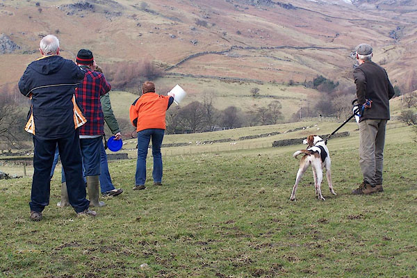 BJI77.jpg Hound trailing. (taken 3.3.2005) 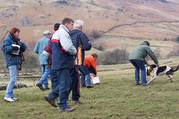 BJI78.jpg Hound trailing. (taken 3.3.2005) 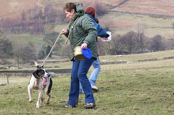 BJI79.jpg Hound trailing. (taken 3.3.2005) 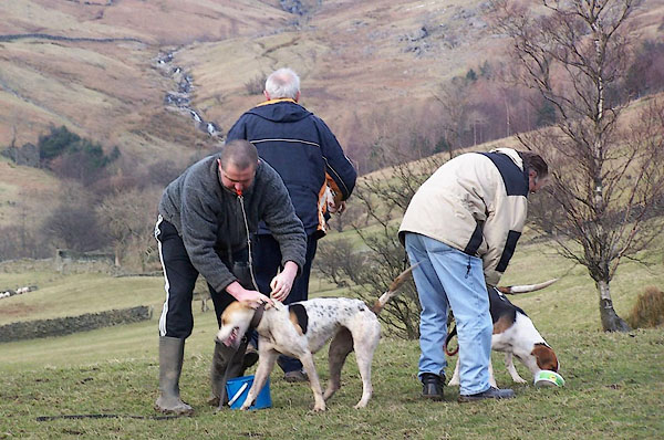 BJI80.jpg Hound trailing. (taken 3.3.2005) 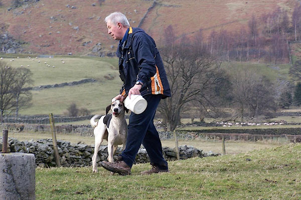 BJI81.jpg Hound trailing. (taken 3.3.2005) 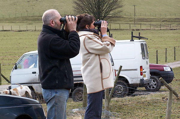 BJI82.jpg Hound trailing. (taken 3.3.2005) 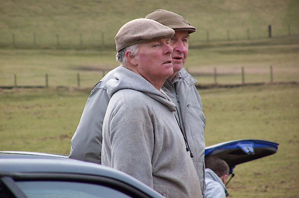 BJI83.jpg Hound trailing, Melvyn Crawford the organiser. (taken 3.3.2005) 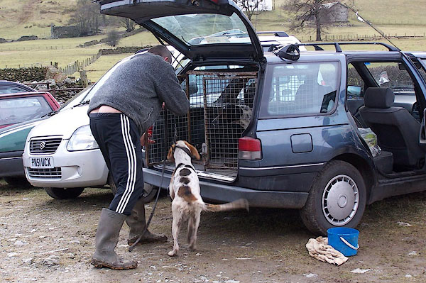 BJI84.jpg Hound trailing. (taken 3.3.2005) |
||
|
|
||
| Coughlan, John: 1998: Hound Trailing::: ISBN 0 9525742 2 5 |
||
|
|
||
 Lakes Guides menu.