 Old Cumbria Gazetteer
 |
 |
|
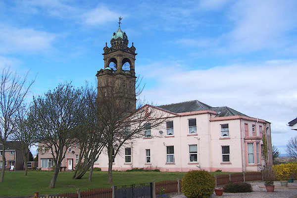
| Highmoor House, Wigton | ||
| Highmoor | ||
| Highmoor Flats | ||
| locality:- | Highmoor | |
| locality:- | Wigton | |
| civil parish:- | Wigton (formerly Cumberland) | |
| county:- | Cumbria | |
| locality type:- | buildings | |
| locality type:- | folly | |
| locality type:- | tower | |
| coordinates:- | NY26194761 | |
| 1Km square:- | NY2647 | |
| 10Km square:- | NY24 | |
|
|
||
 BNN84.jpg (taken 11.4.2007) 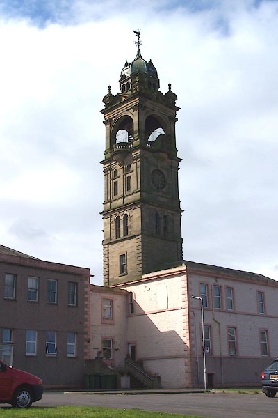 BNN85.jpg (taken 11.4.2007) |
||
|
|
||
| evidence:- | old map:- OS County Series (Cmd 29 10) placename:- Highmoor House |
|
| source data:- | Maps, County Series maps of Great Britain, scales 6 and 25
inches to 1 mile, published by the Ordnance Survey, Southampton,
Hampshire, from about 1863 to 1948. |
|
|
|
||
| evidence:- | old map:- Donald 1774 (Cmd) placename:- Highmoor |
|
| source data:- | Map, hand coloured engraving, 3x2 sheets, The County of Cumberland, scale about 1
inch to 1 mile, by Thomas Donald, engraved and published by Joseph Hodskinson, 29
Arundel Street, Strand, London, 1774.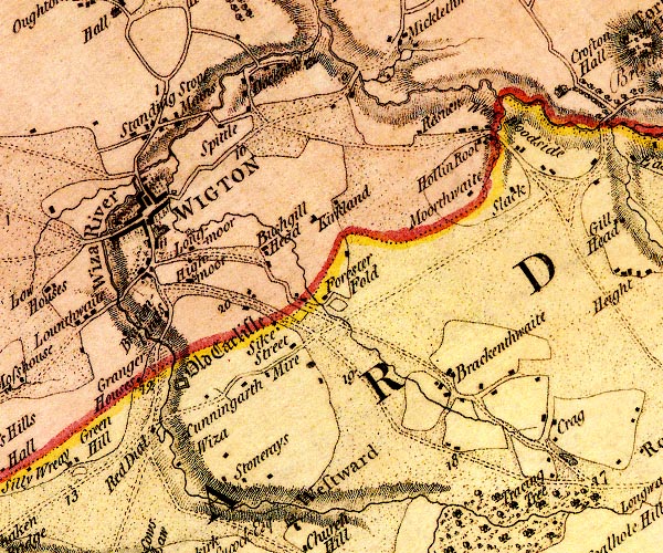 D4NY24NE.jpg "Highmoor" block or blocks, labelled in lowercase; a hamlet or just a house item:- Carlisle Library : Map 2 Image © Carlisle Library |
|
|
|
||
| evidence:- | old map:- Burrow 1920s placename:- High Moor Mansion |
|
| source data:- | Road book, On the Road, Dunlop Pictorial Road Plans, volume V,
strip maps with parts in Westmorland, Cumberland etc, irregular
scale about 1.5 miles to 1 inch, by E J Burrow and Co,
Cheltenham, Gloucestershire, 1920s.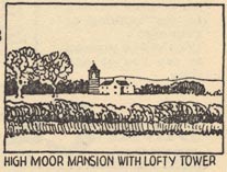 EJB3Vg54.jpg item:- private collection : 17 Image © see bottom of page |
|
|
|
||
 notes about bells notes about bells |
||
|
|
||
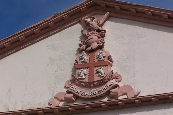 BNN86.jpg Coat of arms. (taken 11.4.2007) |
||
|
|
||
| hearsay:- |
The tower was added to the house, Highmoor, by William Banks, 1887. The house dates
from 1810, plus later additions. |
|
|
|
||
 Lakes Guides menu.