 Old Cumbria Gazetteer
 |
 |
|
| Raughtongill Bridge, Hesket | ||
| Raughtongill Bridge | ||
| site name:- | Raughton Gill | |
| civil parish:- | Hesket (formerly Cumberland) | |
| county:- | Cumbria | |
| locality type:- | bridge | |
| coordinates:- | NY44194613 | |
| 1Km square:- | NY4446 | |
| 10Km square:- | NY44 | |
|
|
||
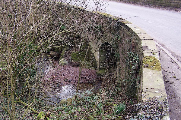 BNI13.jpg (taken 9.3.2007) 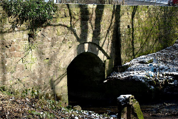 BSF44.jpg (taken 2.3.2010) |
||
|
|
||
| evidence:- | old map:- OS County Series (Cmd 31 9) placename:- Raughtongill Bridge |
|
| source data:- | Maps, County Series maps of Great Britain, scales 6 and 25
inches to 1 mile, published by the Ordnance Survey, Southampton,
Hampshire, from about 1863 to 1948. |
|
|
|
||
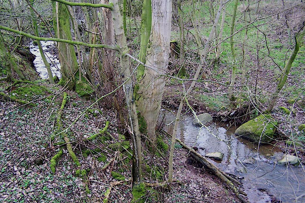 BNI14.jpg View of river. (taken 9.3.2007) |
||
|
|
||
 Lakes Guides menu.