Old Cumbria Gazetteer
 |
 |
|
||
| Roe, River | ||||
| runs into:- |  Caldew, River Caldew, River |
|||
|
|
||||
| civil parish:- | Dalston (formerly Cumberland) | |||
| county:- | Cumbria | |||
| locality type:- | river | |||
| 1Km square:- | NY3845 (etc) | |||
| 10Km square:- | NY34 | |||
|
|
||||
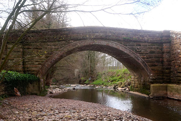
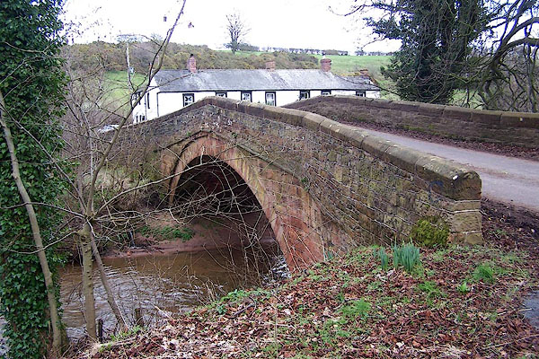
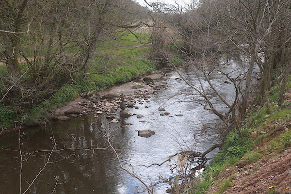 CEX63.jpg At Thrangholm Bridge, (taken 22.4.2016) 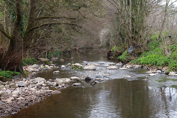 CEX72.jpg At Gaitsgill Bridge, (taken 22.4.2016) |
||||
|
|
||||
| evidence:- | old map:- Donald 1774 (Cmd) placename:- Raw Beck |
|||
| source data:- | Map, hand coloured engraving, 3x2 sheets, The County of Cumberland, scale about 1
inch to 1 mile, by Thomas Donald, engraved and published by Joseph Hodskinson, 29
Arundel Street, Strand, London, 1774.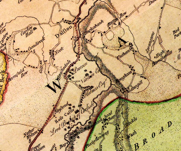 D4NY34NE.jpg 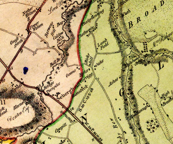 D4NY34SE.jpg "Raw Beck" single or double wiggly line; a river into the Caldew item:- Carlisle Library : Map 2 Images © Carlisle Library |
|||
|
|
||||
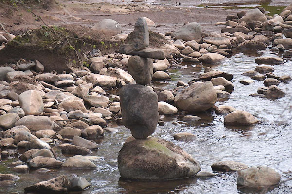 CEX64.jpg Sculpture. (taken 22.4.2016) 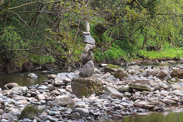 CEX73.jpg Sculpture. (taken 22.4.2016) |
||||
| It is said that these were erected by one of the workmen repairing Thrangholm Bridge,
and perhaps other bridges, after the floods, December 2009. The stones are just balanced,
wedged in place by very little stones. |
||||
|
|
||||
| places:- |
|
|||
|
||||
|
||||
|
||||
|
||||
|
||||
|
||||
Lakes Guides menu.