 Old Cumbria Gazetteer
 |
 |
|
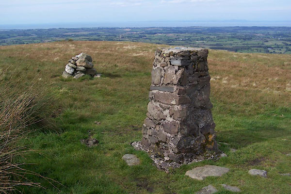
| trig point, NY1321924247 | ||
| site name:- | Fellbarrow | |
| civil parish:- | Blindbothel (formerly Cumberland) | |
| civil parish:- | Loweswater (formerly Cumberland) | |
| county:- | Cumbria | |
| locality type:- | trig point (pillar) | |
| coordinates:- | NY1321924247 | |
| 1Km square:- | NY1324 | |
| 10Km square:- | NY12 | |
| altitude:- | 1365 feet | |
| altitude:- | 416.1m | |
| references:- | OS website |
|
|
|
||
 BXK14.jpg (taken 23.9.2012) 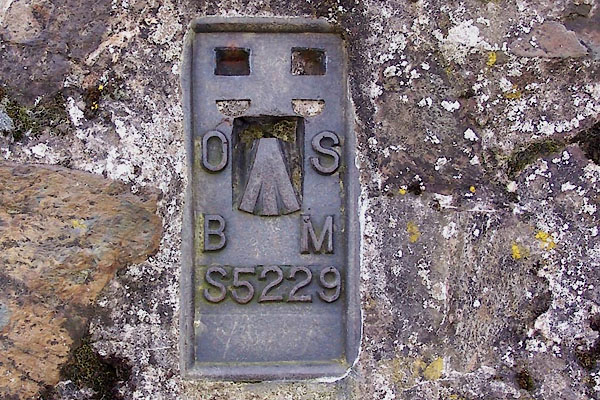 BXK15.jpg (taken 23.9.2012) |
||
|
|
||
| evidence:- | old map:- OS County Series (Cmd 62 4) placename:- Fellbarrow |
|
| source data:- | Maps, County Series maps of Great Britain, scales 6 and 25
inches to 1 mile, published by the Ordnance Survey, Southampton,
Hampshire, from about 1863 to 1948. "Fellbarrow / Pile of Stones/ Md" and a trig point symbol |
|
|
|
||
 Lakes Guides menu.